We planned to drive 145 kilometres from Wedge to Cliff Head, as much as possible on the beach, during the xmas/New Year break.
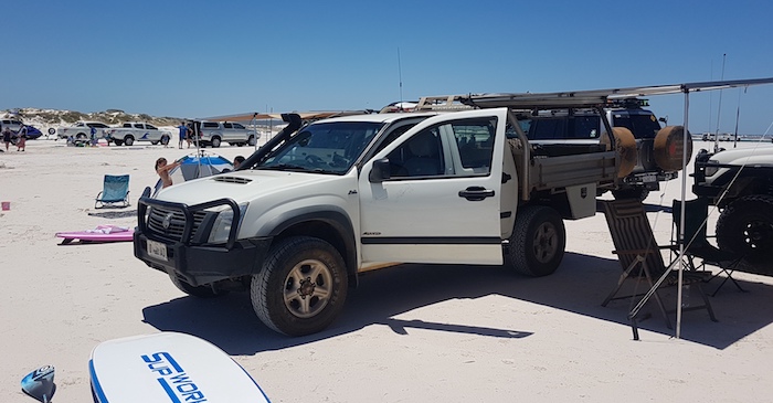
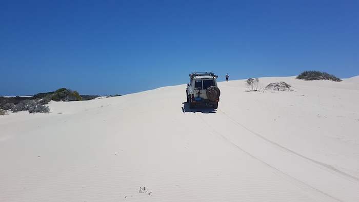
Saturday was spent on the beach and dunes at Wedge.
-
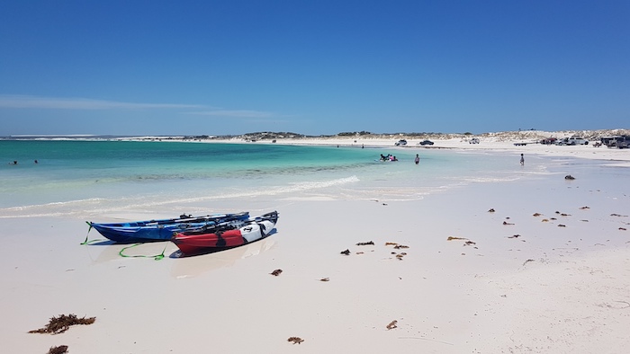
- Beach at wedge.
-
- Rodeo on Wedge Beach.
-

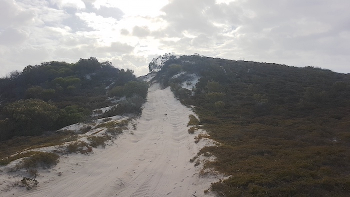
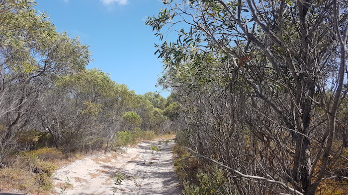
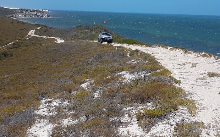
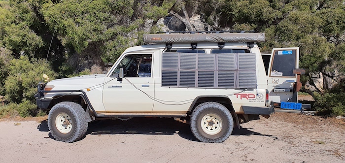
- Wedge Island Beach run.
-

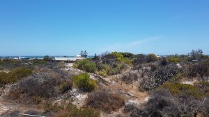
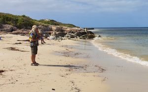
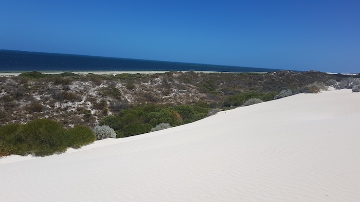
- Seagrass at the northern end of Wedge Beach
-
- Shacks at Wedge.
-
- Ocean view from shack.
-
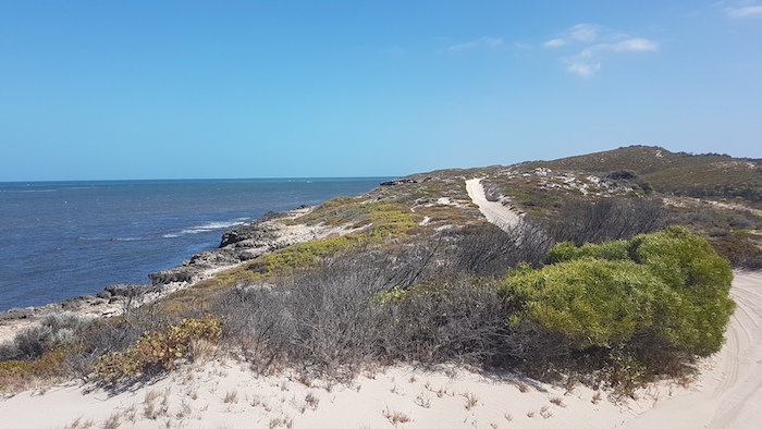
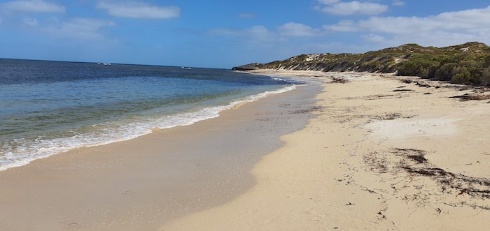
- The northern end of Wedge Island beach.
-
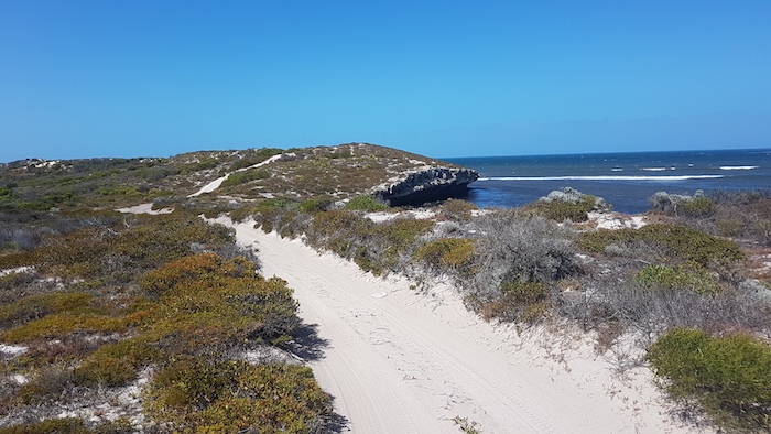
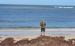
- At the end of Wedge Beach.
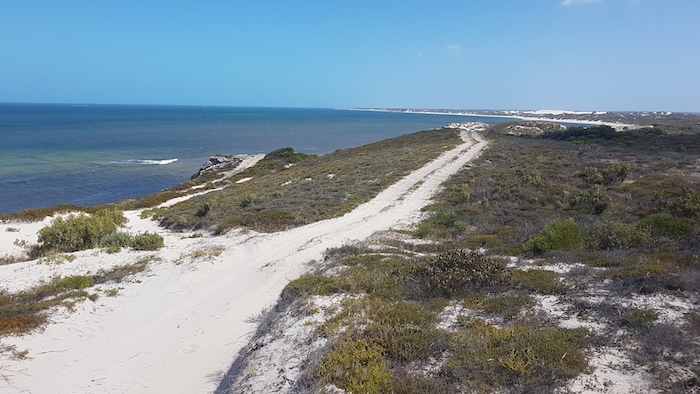
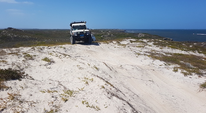
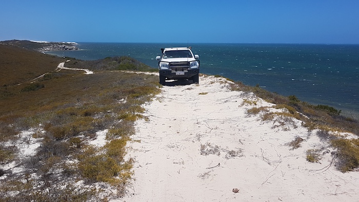
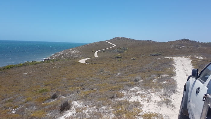
Wedge to Milligan Island
-

- Wedge to Milligan Island
We started our push north about 0930, shortly after Greg arrived.
-
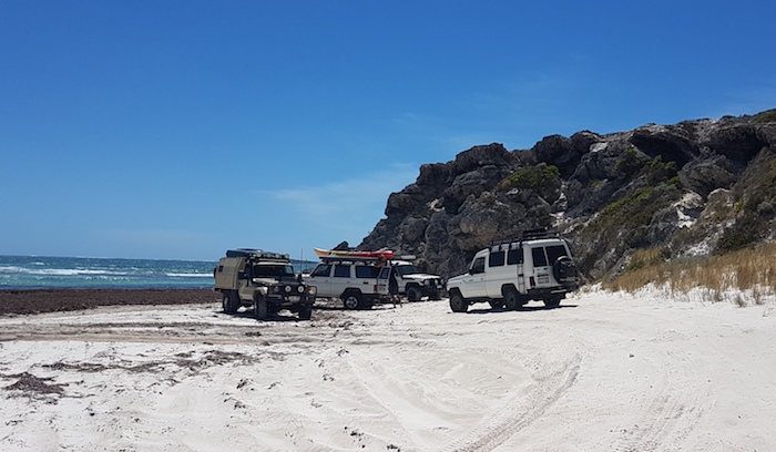
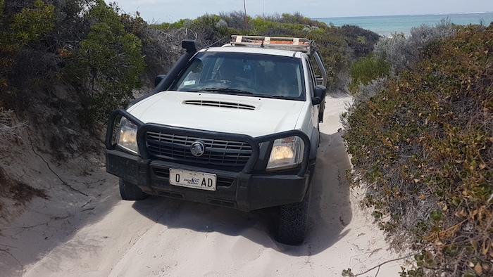
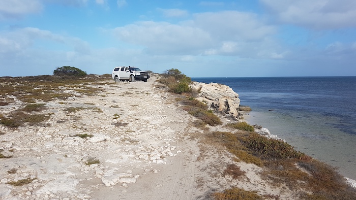
- Vehicle lineup on rocks south of Grey.
-
- The offset moguls tested the suspension travel and limited the speed that could be achieved up the slope, resulting in a catastrophic loss of forward momentum. The result was one bogged Rodeo getting off the beach south of Grey.
-
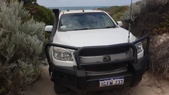
- Greg drives his Colorado up the same slope after a bit of track repair.
-
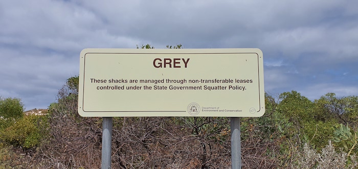
- Outside Grey.
-
- End of the beach at Grey.
-
- At Grey.
-
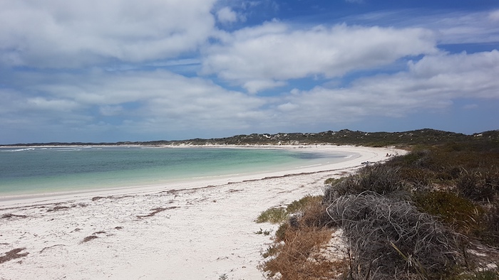
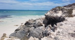
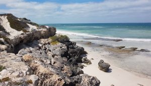
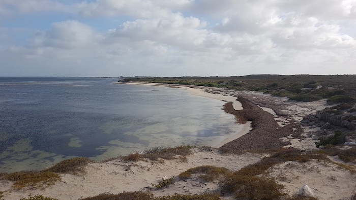
- Hangover Bay. Onshore winds had deposited copious amounts of seagrass, detracting from what is normally a spectacular, beautiful white beach. Hangover Bay is part of Nambung National Park and Jurien Bay Marine Park.
-
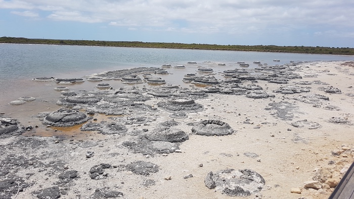
- Stromatolites at Lake Thetis, Cervantes.
Stromatolites are cyanobacteria that convert carbon dioxide to oxygen.
Stromatolites are ‘living fossils’ – exemplars of what life was like on Earth more than 3500 million years ago. At that time no other complex creatures were present on the planet. Stromatolites are built by microbes (single-celled cyanobacteria) that were the first forms of life on Earth. The cyanobacteria trap sediments with mucous to form enormous rock-like structures that, at first glance, don’t appear to be living. Each stromatolite is actually a very slow growing microbial colony that grows less than 1mm per year.
Apart from Lake Clifton south of Perth and Hamelin Pool in world heritage-listed Shark Bay, the only other known stromatolites are in the Bahamas and the Great Salt Lake, Utah.
-
- Thirsty Point Beach. Sailors shipwrecked from the American whaler Cervantes started their epic 185km walk to Fremantle from here in 1844.
-

- The beach at Thirsty Point, Cervantes.
The fishing and holiday town of Cervantes got its name from Cervantes Island two kilometres offshore to the south-west, which in turn got its name from an American whaling ship of the same name that was wrecked here. Read more.
-
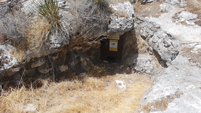
- Drovers Cave
Drovers Cave is 1.25 kilometres along Sandy Point Road (a badly corrugated, loose sand track) from Jurien Road East, at 30°15’40.00″S 115° 5’33.00″E. The cave is not signposted and, depending on the amount of growth at the side of the track, it can be difficult to spot. Given that the entrance is blocked by a solid, locked iron door, in reality it is nothing more than a small hole in the ground. For the non-speleologist without a key to the lock it is not worth the effort of the vehicle-shaking, 2.5 kilometre round trip off the bitumen.
We returned to the bitumen and drove directly to Milligan Island Camping Node.
-
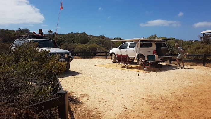
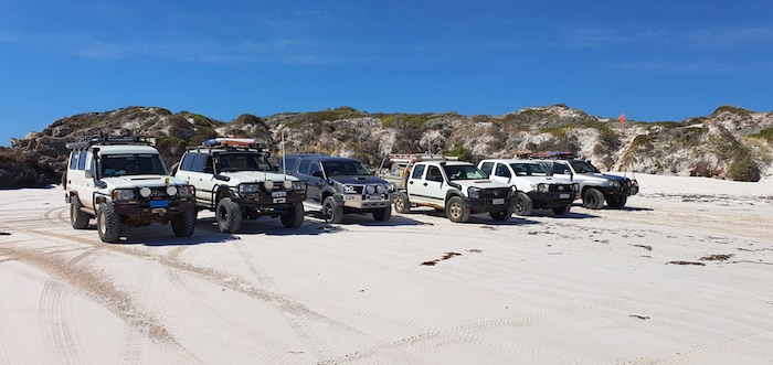
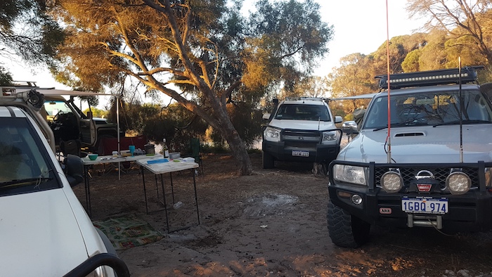
- Aaron and Greg at the Milligan Island Camping Node
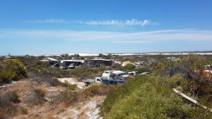
The Shire of Coorow is notorious for strictly enforcing its camping bylaws and, as a consequence of unrelenting demand to camp on the coast, developed the Milligan Island Camping Node, four kilometres north of Green Head. Thirty six bays without shade are offered to punters in what is a poor excuse for a campground.
The bays are paved with irregular-sized, crushed limestone. Not all bays are level (seriously). The onsite caretaker extracts $15 per vehicle per night from the hapless punter. Campgrounds of this level elsewhere would offer an ablution block (showers, flush toilets and, possibly, a laundry). Milligan offers long drop toilets and a boardwalk to a crappy beach.
Avoid it if you can. Go north of Leeman.
Milligan Island to Cliff Head
-

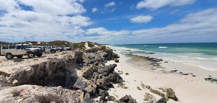
- Milligan Island to Cliff Head.
-
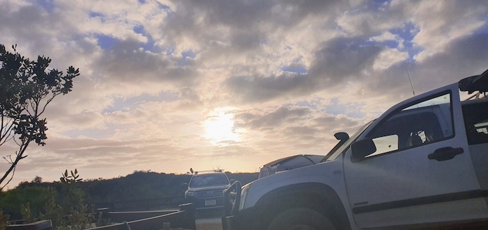
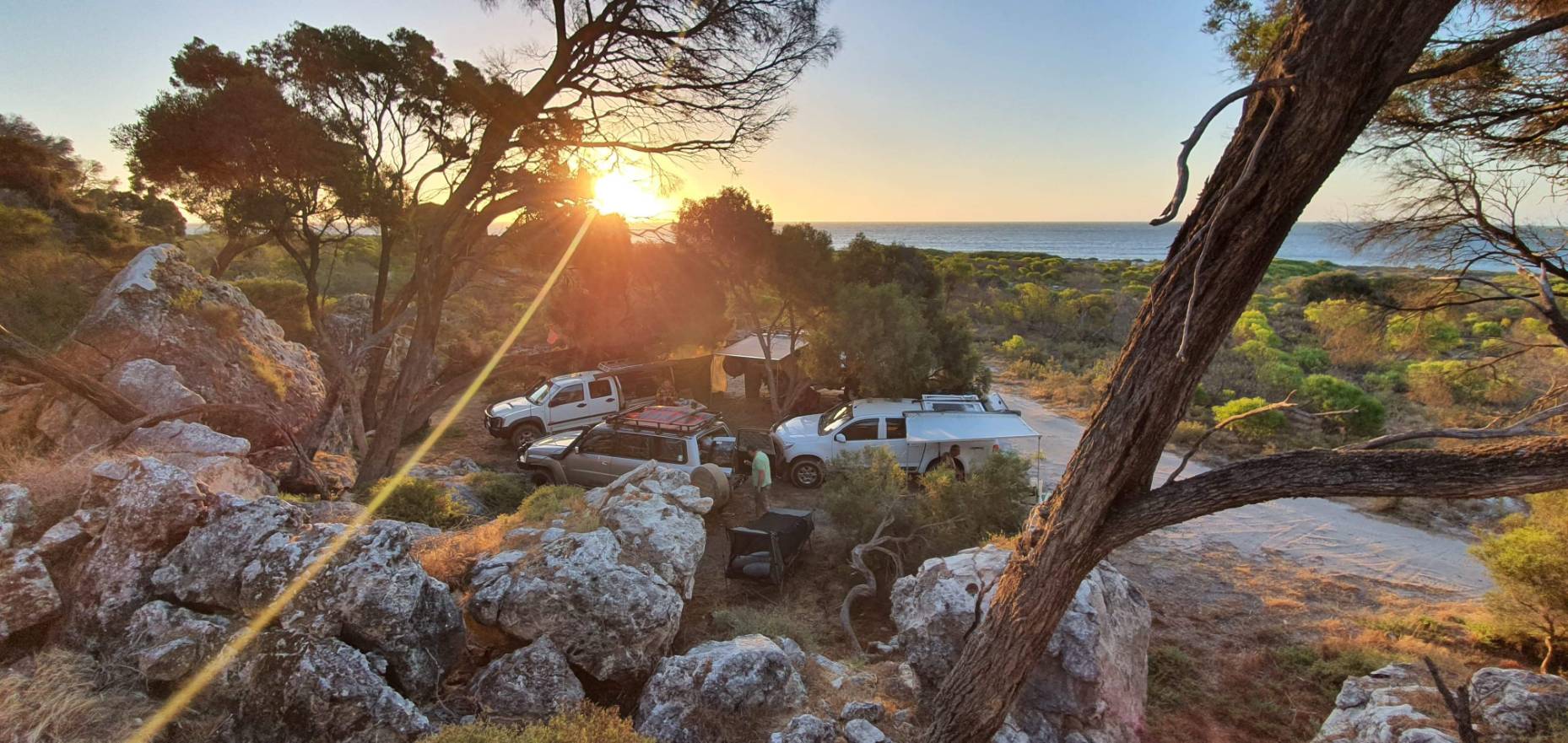
- Sunrise at Millington Island Camping Node
Four kilometres north of Milligan our way north was blocked by rocks. We were able to go off the beach, around the obstacle and resume our push along the edge of the ocean for a further five kilometres to Leeman.
-

- Rocks block the way south of Leeman.
-
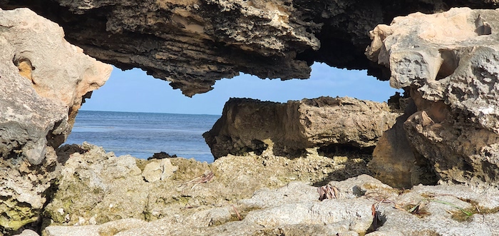
- Natural window.
-
- The way off the beach, south of Leeman.
-
- Greg’s Colorado on the cliff top track three kilometres south of Leeman.
-
- Three kilometres south of Leeman.
-
- Mushy’s Troopy three kilometres south of Leeman.
The coastline north of Leeman is mostly cliffs to Coolimba.
-
- Tree-lined track just south of Coolimba.
-
- Bat Cave Cove
-
- On the track alongside Bat Cave Cove.
Finding a weed-free beach suitable for fishing was difficult. We gave it a try just short of Coolimba.
-
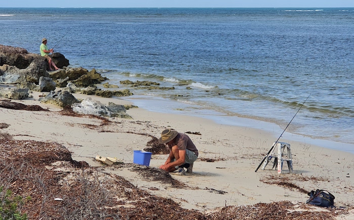
- Greg and Aaron fishing.
-
- Fishing at Coolimba.
-
- Kim trying his luck.
-
- Approaching Coolimba from the south.
-

- Rodeo and Colorado just south of Coolimba.
-
- Mushy’s Troopy just south of Coolimba.
-
- Beach south of Coolimba.
Our way was blocked on the beach 2.5 kilometres north of Coolimba so we returned to the shacks and access track and drove out to Indian Ocean Drive. Ten kilometres north we turned into Gum Tree Bay and pushed north along the coast. The track led us into an extensive dune system through which we were unable to find a way north.
-

- Aaron’s Patrol and Greg’s Colorado on dunes just north of Gum Tree Bay.
-
- Mushy went exploring on the dunes north of Gum Tree Bay.
-
- The was no way through to the beach from these dunes north of Gum Tree Bay.
We turned back south for a kilometre and got onto the beach. Four kilometres to the north we were into another extensive sand dune system. Initially unable to find a way through, we eventually picked up the track along the cliffs and continued north.
-
- Aaron in his Patrol near Illawong.
-
- Greg in his Colorado near Illawong.
-
- Greg in his Colorado near Illawong.
-
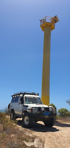
- Mushy’s Troopy at the Freshwater Point navigation and comms tower.
-

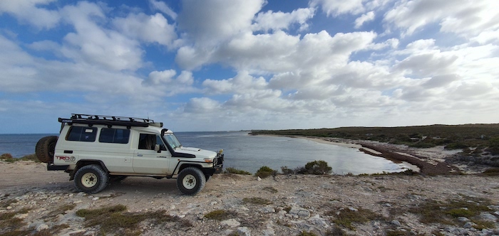
- Freshwater Point
-

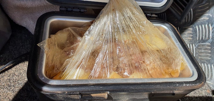
- Ingredients are placed in a roasting bag.
-
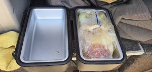
- Beef roast, potatoes and onion placed in the oven.
-
- Mushy hung out the solar blanket.
-
- Cliff Head campsite.
-
- Roast dinner ready to eat.
-
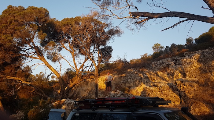
- Mushy halfway up the cliff.
-
- Sunset at Cliff Head.
The coastal drive finished at Cliff Head.
This Trip was part of the Drive the Coast Project.
© Kim Epton 2019-2021
Feel free to use any part of this document but please do the right thing and give attribution. It will enhance the SEO of your website/blog, and Cockburn 4WD Club.
Text and layout Kim Epton
Photographs
Michael Orr
Kim Epton
1080 words, 51 photographs, 3 images.
See Terms of Use