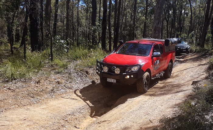
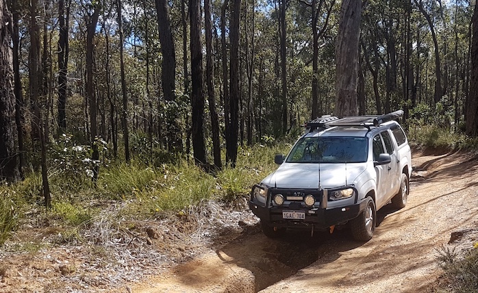
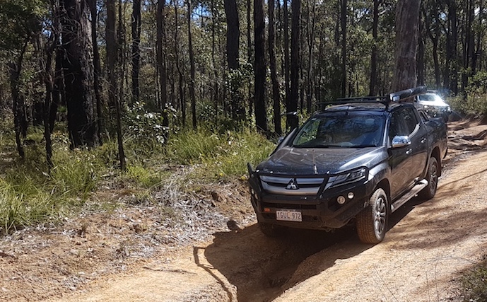
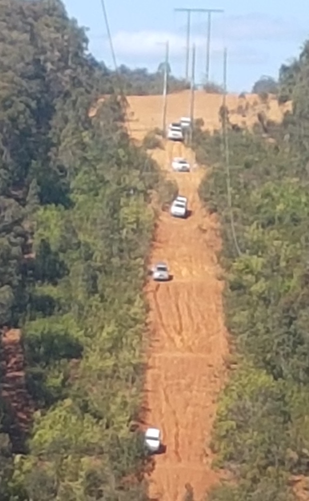
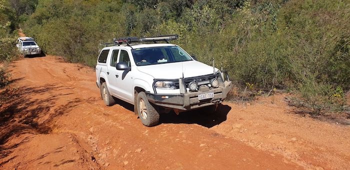
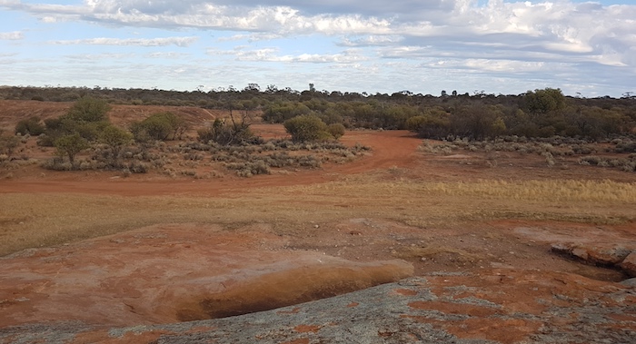
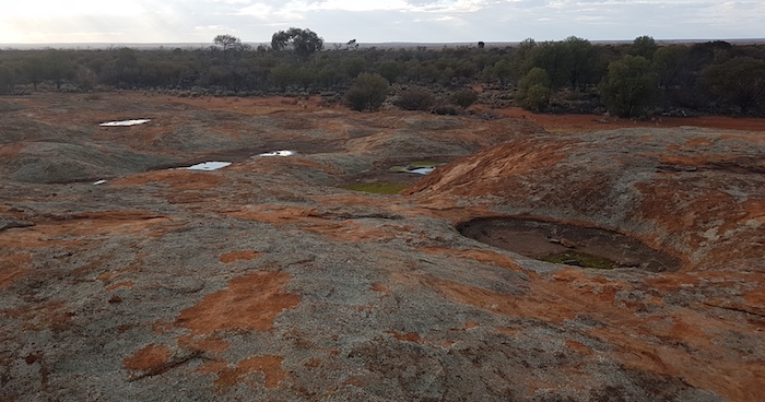
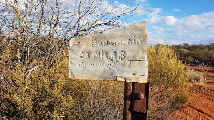
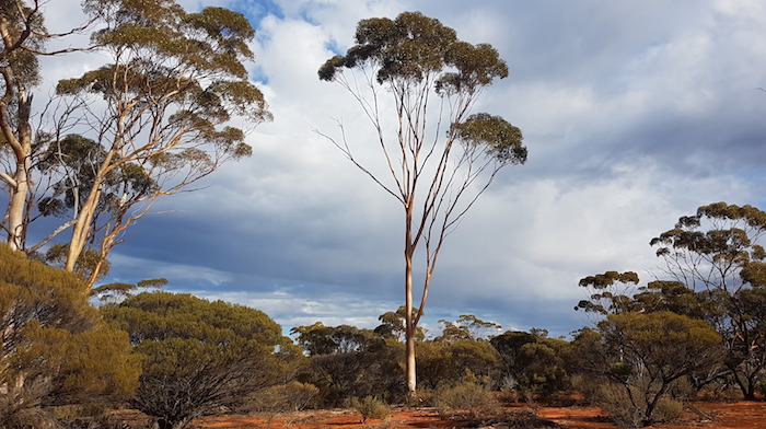
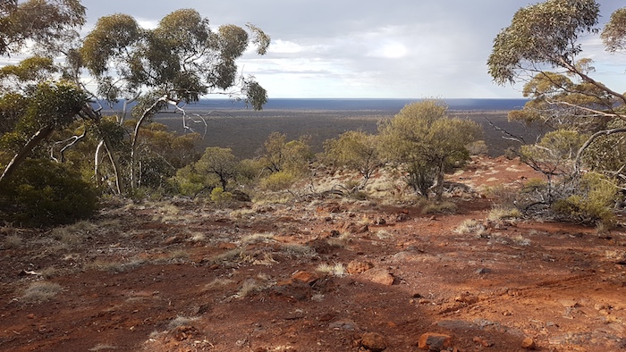
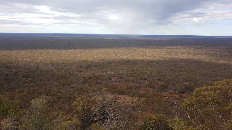
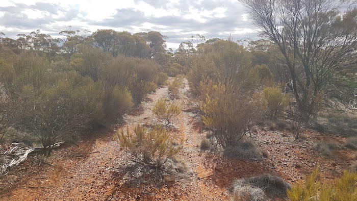
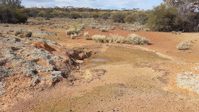
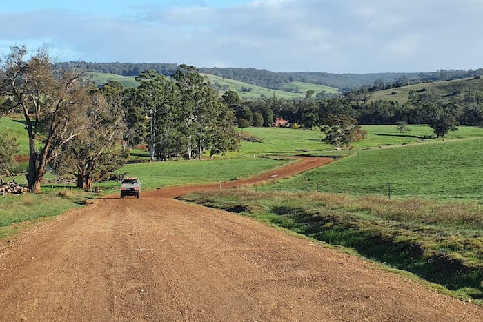
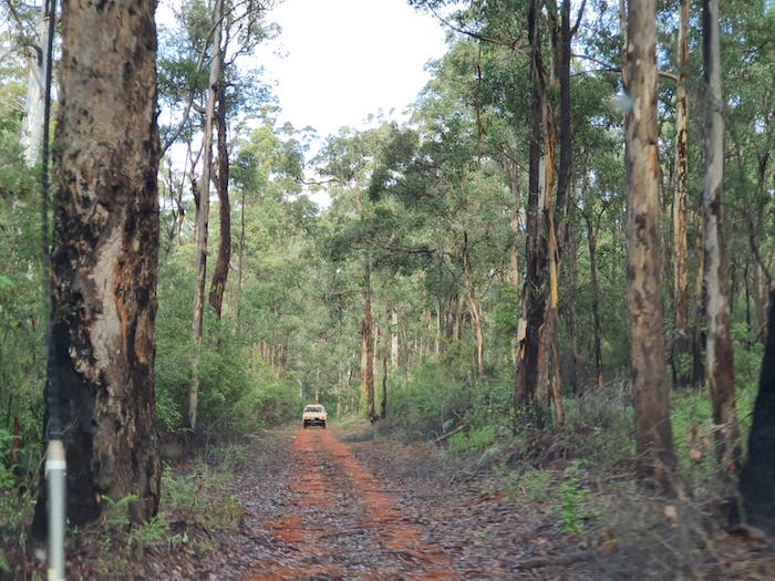
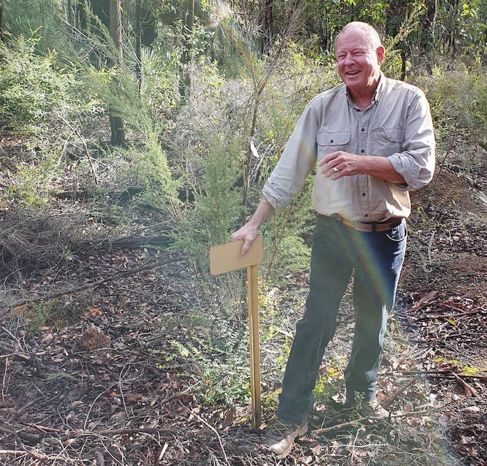
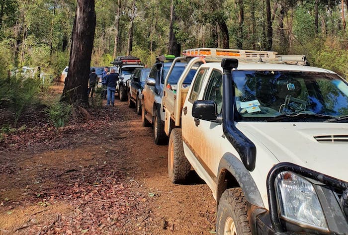
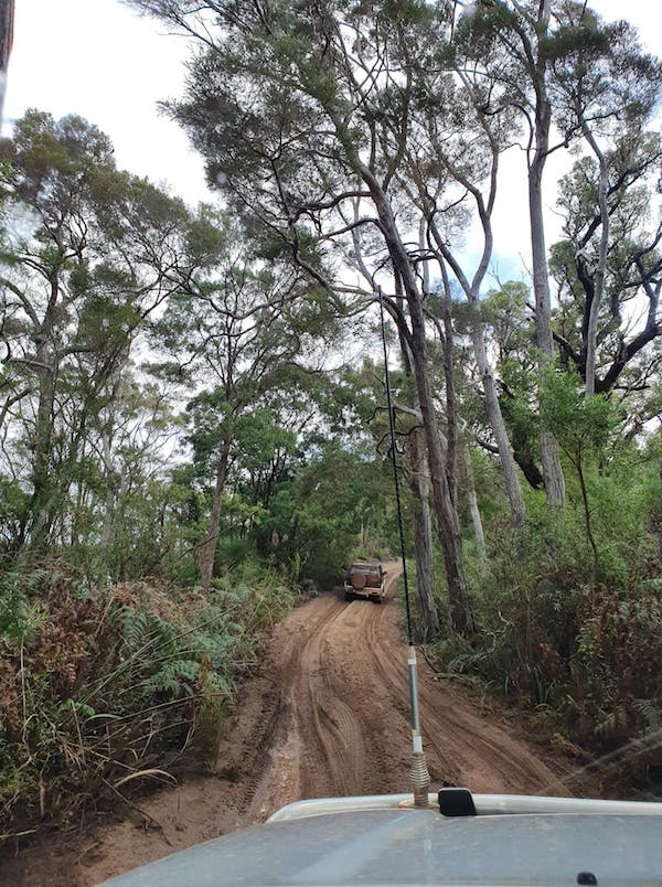
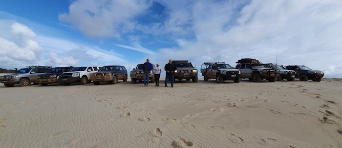
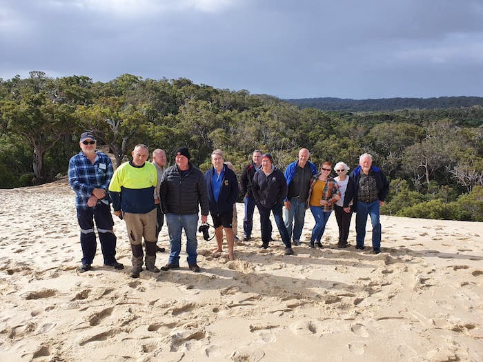
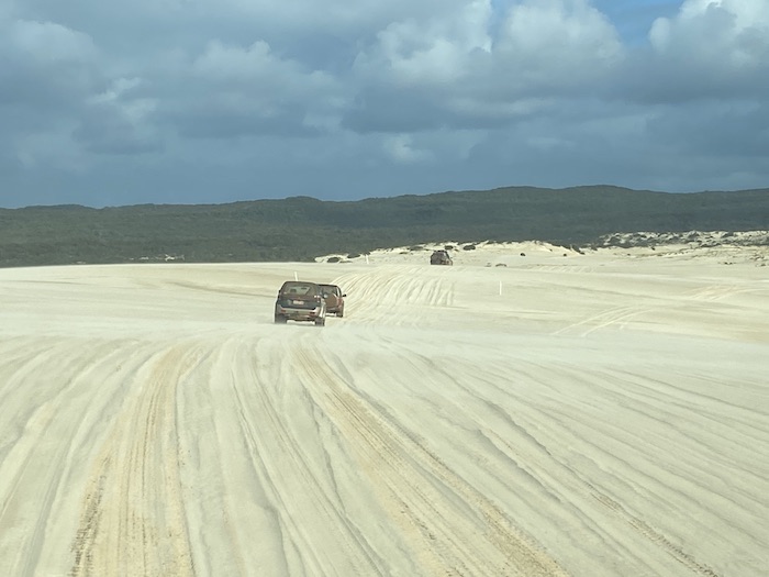
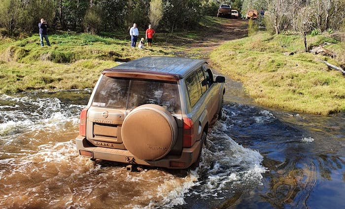
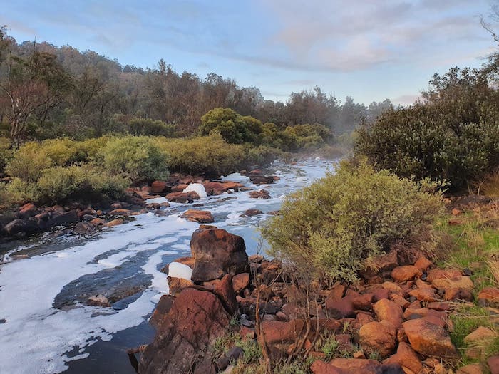
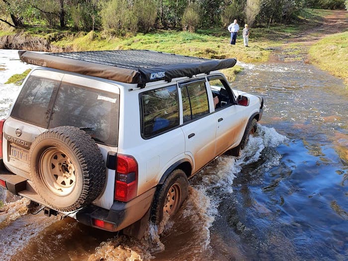
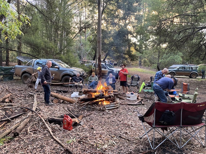
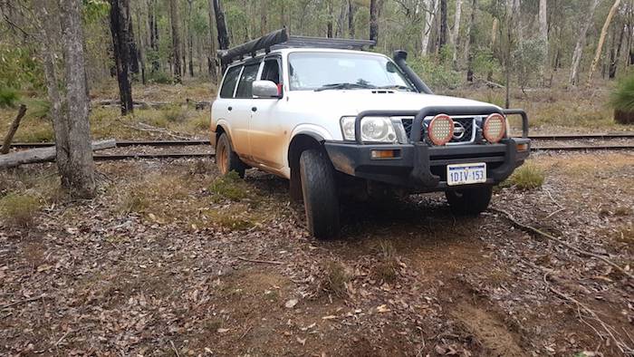
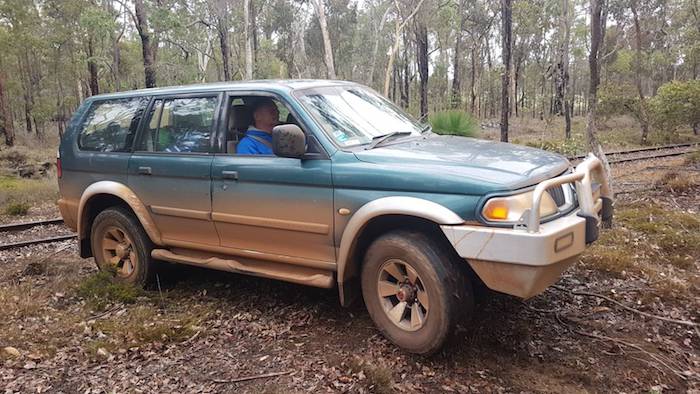
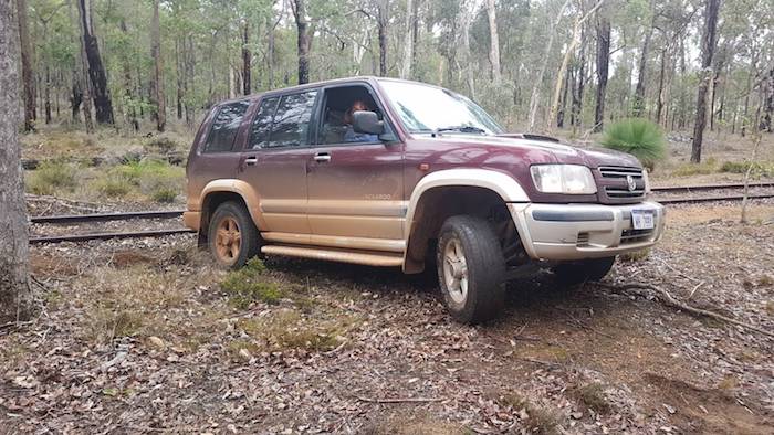
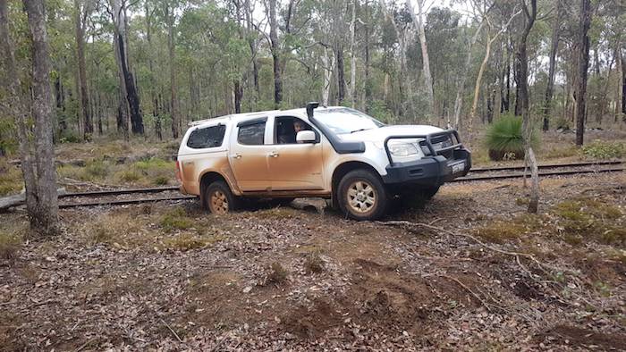
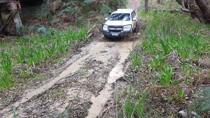
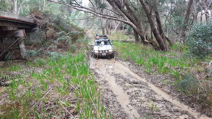
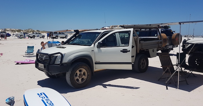
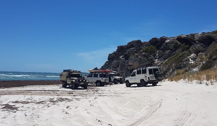
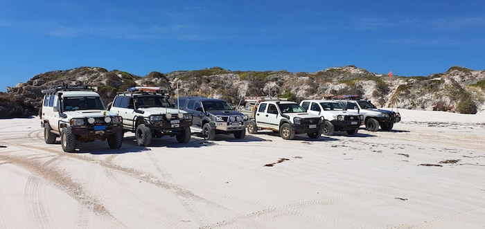
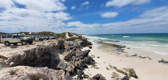
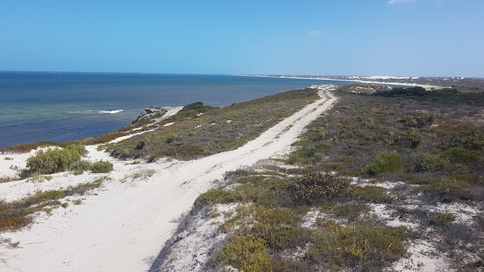
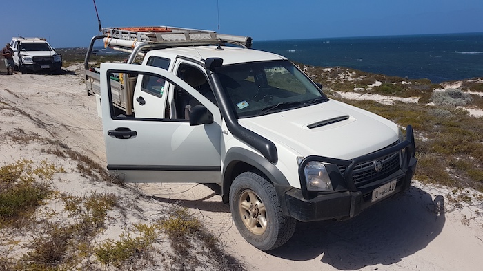
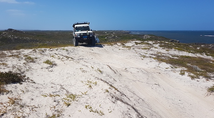
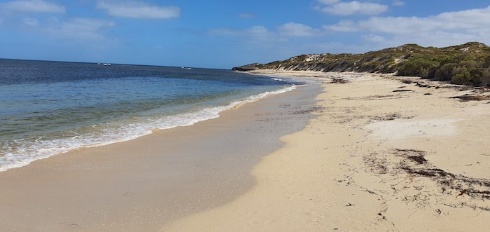
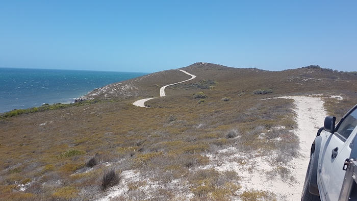
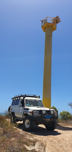
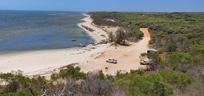
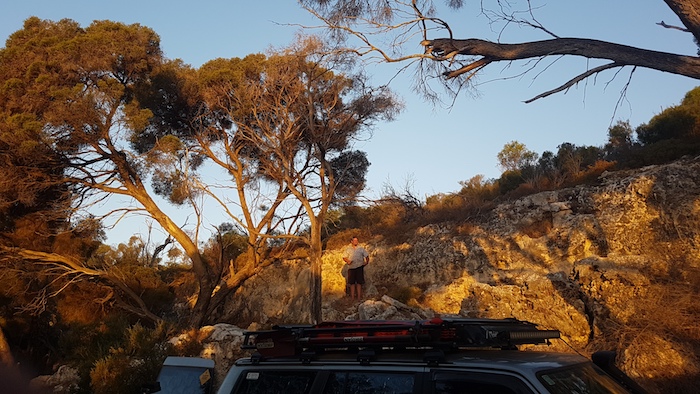
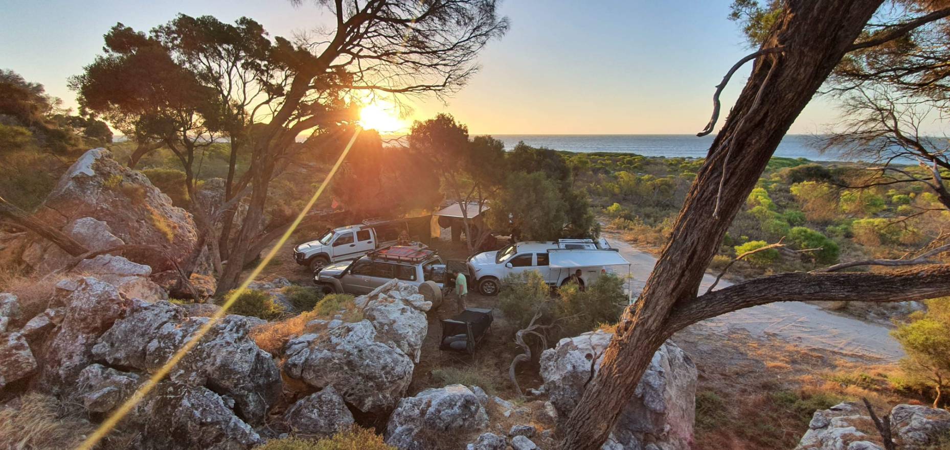
The Granite Monsters Road Trip toured some of the amazing granite outcrops that extend from the south-west tip of Australia to approximately 800 kilometres north-east on the edge of the Great Victoria Desert.
Mindebooka Hill
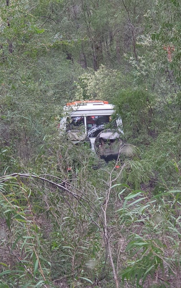
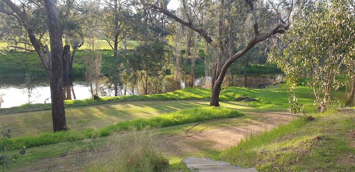
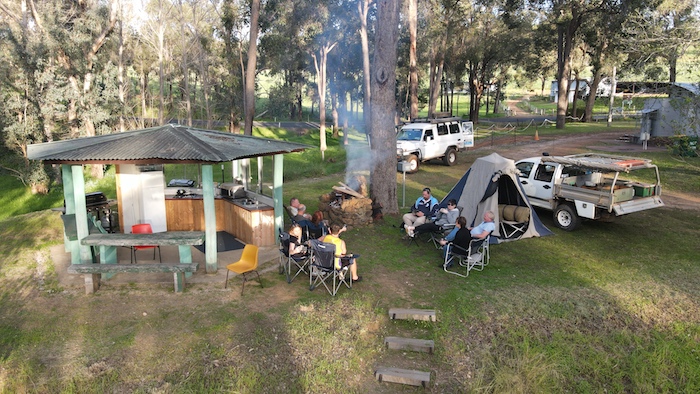
Our Granite Monsters Road Trip was held over the September long weekend in 2019. Eleven people in six vehicles met at Mindebooka Hill, 12 kilometres south-east of Doodlakine. A great camping spot and, at 215 kilometres ENE of Perth, it is a convenient location to ‘get out of town’ at the start of a road trip.
-

-
Mindebooka Hill
-
-
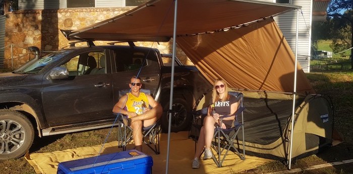
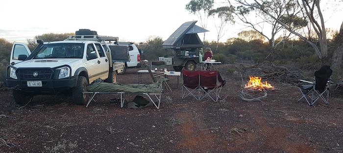
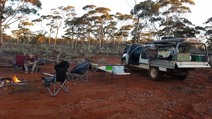
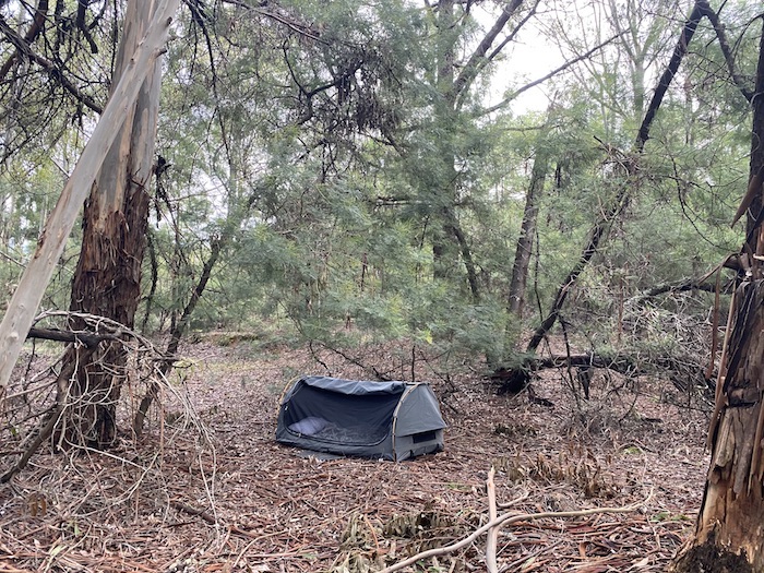
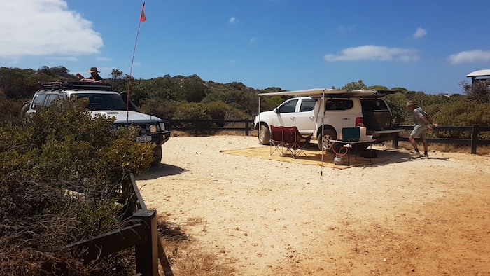
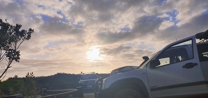
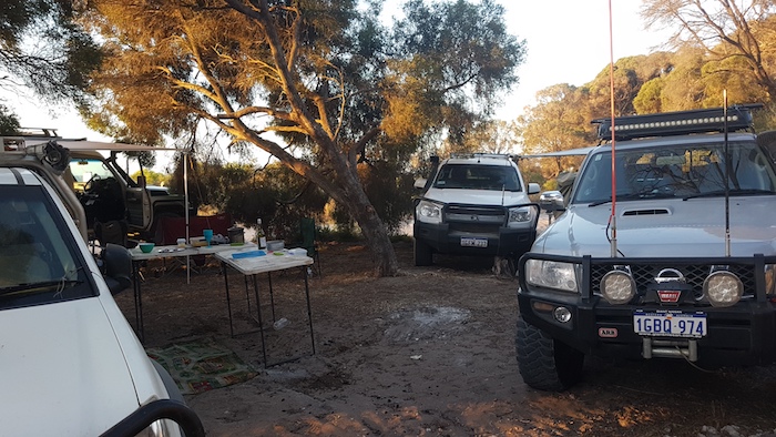
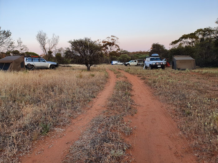
Our camp at Mindebooka.
-
-
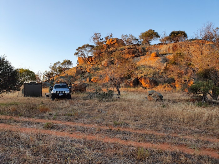
Aaron’s camp at Mindebooka.
Surveyor H.S.King recorded the name for this granite outcrop in 1889 during his survey of the York-Goldfields Road. The name is of unknown origin. The 320 metre high hill is in the middle of a 180 hectare triangle of bushland among long-established farmland. Just far enough off the highway not to be used by ‘grey nomads’, it is pretty much exclusively for the informed.
-

-
Early morning kangaroo at Mindebooka. Often described as diurnal they are, more accurately, crepuscular.
Often described as diurnal, kangaroos, along with wombats, wallabies, quolls, and possums are, more accurately, crepuscular.
-

-
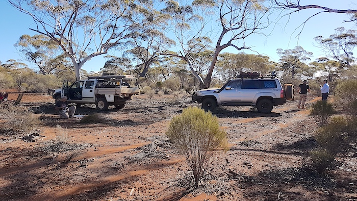
Departing Mindebooka.
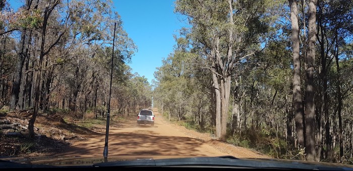
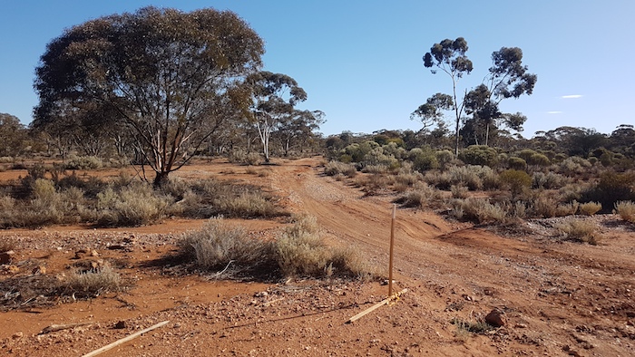
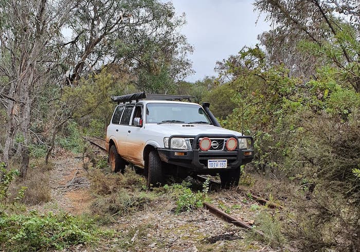
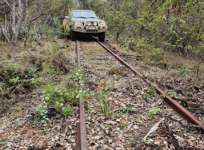
We left Mindebooka for Totadgin Rock and picked up an access track along the old Bruce Rock railway that closely follows Hunts Track. The track exits onto the Bruce Rock-Merredin Road just two kilometres south of Totadgin Rock, where C.C. Hunt established one of his early wells.
-

-
On the road to Totadgin.
Totadgin Rock
For many thousands of years granite outcrops like Totadgin provided aboriginal people with a source of reliable water in an essentially dry environment. Early explorers such as Roe, Lefroy, Hunt and Forrest quickly realised the importance of these inselbergs as natural water catchments and invaluable aids to navigation. Many of the large outcrops in the Wheatbelt were developed as water supplies by early settlers. The locations of towns such as Merredin were determined because they were near reliable water supplies – long before the Mundaring to Goldfields water pipeline was completed.
-

-
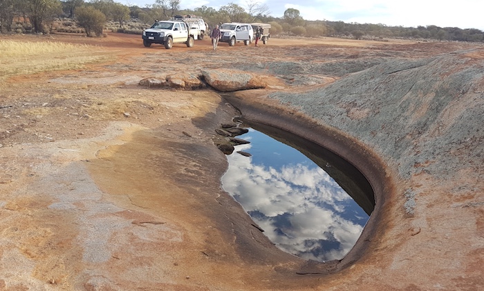
Above the wave at Totadgin Rock.
-

-
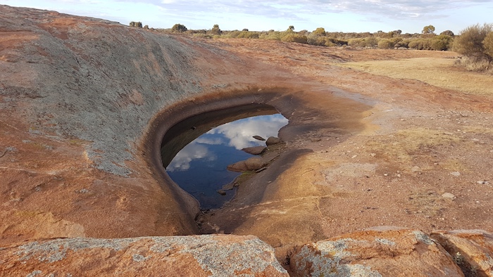
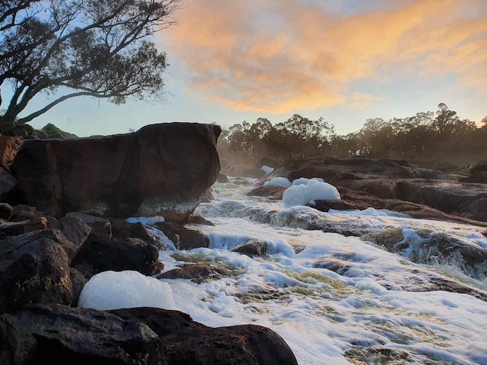
The beginning of a ‘wave’ at Totadgin Rock.
Runoff from the rock provides a bountiful supply of water to a band of thick vegetation around its base. Past this is a fringing woodland comprised mostly of York Gums that supports a diversity of marsupials, birds and insects. The beginnings of a ‘wave’, typical of granite outcrops, is adjacent to the well that C.C. Hunt’s team established in 1865.
-

-
Various flowers
-

-
Lichen on Totadgin Rock
-

-
Blue flowers at Totadgin.
Explorer/Surveyor C.C. Hunt recorded the name for this rock in 1864 – an aboriginal word of unknown origin. This well was refurbished in 2016.
-

-
Totadgin Well September 2019
Burracoppin
Hunt’s Well at Landsdowne Hill, Burracoppin is north of the rock and nowhere close to where the directional sign is pointing. Look 120 metres to the east along the fenceline.
-

-
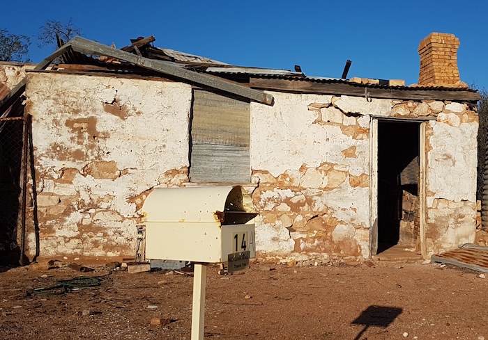
The former hotel at Burracoppin. Now a private residence.
-

-
Acacias in flower at Moorine Rock.
This well was refurbished in 2016 and is in reasonably good condition although it would be better protected if fenced.
-

-
Burracoppin Well September 2019
-

-
Kim and Jeff at Burracoppin Well.
-

-
Wildflowers on the road verge at Burracoppin Well.
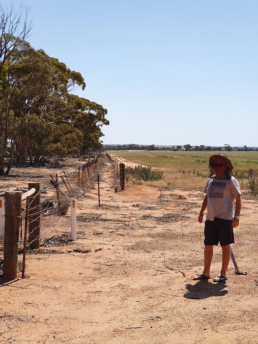
An interpretative site for the No. 1 Rabbit Proof Fence is only a kilometre to the east of the well so we made a quick diversion.
-
-
Jeff at the No.1 Rabbit Proof Fence.
-

-
The Rabbit Proof Fences in Western Australlia.
J.S. Crawford wrote a very comprehensive history of the Rabbit Proof Fence – an early attempt at biosecurity – that is precised here.
-

-
Loading wheat for road transport at Burracoppin, incongruously from a railway siding
We turned north towards Westonia and followed minor roads to Boodalin Soak.
Boodalin Soak
Boodalin Soak is on the Westonia Commons, just off Stoneman Road. Unlike Burracoppin Well, the signage here actually leads to the Soak.
-

-
One of three ways the name for the Soak is spelled. The next directional sign is spelled correctly as “Boodalin”. Occasionally spelled as Boodahlin.
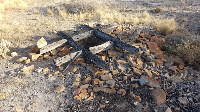
In March 1865 C.C. Hunt’s track-and-well-making team opened out the native soak and created the dry stone well that is still in excellent condition today.
-

-
Micaela, Aaron, Kim and Liam at Boodalin Well.
While improving the well during the 1866 Eastern Interior Expedition Hunt and his team assisted in the capture of Western Australia’s most notorious bushranger, Moondyne Joe.
Moondyne Joe (born Joseph Bolitho Johns) was a colourful character whose constant and defiant declarations of innocence – and frequent escapes – entertained the early settlers. Transported from England in 1855 for stealing food, his notoriety sprang from his numerous and successful jail breaks.
Joe and his two companions absconded from police custody and intended to head to South Australia by initially following Hunt’s line of conveniently placed wells. Knowing that Hunt and his party were working on tracks and wells to the east, Joe intended to steal fresh horses and rations from them at gun point.
-

-
Pink everlastings at Boodallin.
The plan failed when the fugitives were sighted by sandalwood cutters near Youndegin and a search party was organised. Around midday on 29 September, a police party captured Joe and his friends at Boodalin. Hunt had been forewarned and he and his party assisted police troopers in the capture.We left Boodalin Soak and drove to the lookout at the Edna May mine.
-

-
Edna May mine at Westonia.
The Edna May mine is an open pit gold operation that has been producing since 1911. Underground operations commenced in 2019. It is owned by Ramelius Resources. Jeff navigated the Road Trip from Westonia to Southern Cross. We stopped at Moorine Rock Well and Kodjerning Well along the way.
-

-
In Westonia
Moorine Rock
-

-
Moorine Rock.
This granite monster was named by C.C. Hunt in 1865. It is an aboriginal name of unknown origin.
-

-
Moorine Well
-
-
Acacias in flower at Moorine Rock.
Kodjerning Well
We stopped briefly at Kodjerning Well and then pressed on to Great Eastern Highway. It was a short run to Southern Cross where we refuelled.
-

-
These signs are the other side of the road from the well and rock.
-

-
Kodjerning Well
-

-
Bicentennial plaque at Kodjerning well.
-

-
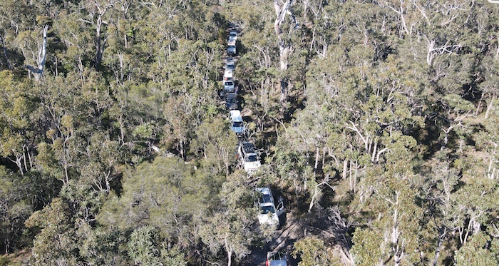
Our convoy at Kodjerning Well.
Koorkoordine Well
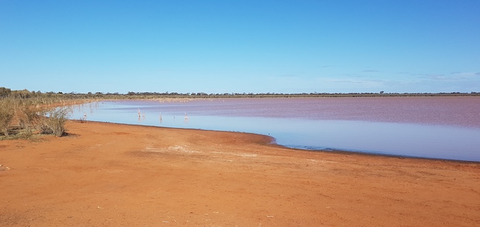
Koorkoordine Well is on the edge of Lake Koorkoordine – a large salt lake – yet interestingly it provided C.C. Hunt’s well-and-track-making team with a good supply of fresh water in 1865. Hunt established a depot here from which he explored further to the east and south-east.
-

-
Koorkoordine Well
-

-
Pink wildflowers on the edge of Lake Koorkoordine
Hunt’s team improved Koorkoordine in 1866.
Earlier, in 1864, C.C. Hunt variously referred to the lake as ‘Kokoordine’ and later as ‘Kookoordine’. It was eventually rendered as Koorkoordine. The Shire of Yilgarn website purports this to mean ‘place of meat’ but offers no substantiation for the claim.
-

-
Koorkoordine Well
Prospectors Thomas Risely and Mick Toomey camped at this well prior to finding gold just to the south. This was one of the seminal gold discoveries in Western Australia – the prelude to the Coolgardie and Kalgoorlie gold rushes of the early 1890s. At the time they camped at Koorkoordine the well was dry, necessitating them to wait for rain before being able to move on. They used the stars of the Southern Cross to guide them back to Golden Valley and hence the name of the guiding constellation – The Crux– was given to their find.
-

-
Lake Koorkoordine.
-

-
Pink wildflowers at Lake Koorkoordine.
Our drive from Koorkoordine to Weowanie was just as convoluted. North from the well, past the Southern Cross Golf Club and onto Corinthia Road. Easy enough but it was from there that the difficulties arose. We needed to find a track heading east to Duladgin but the presence of a solidly made State Barrier Fence – and the lack of an access gate – thwarted our attempt.
-

-
Yellowdine State Barrier Fence
We had to continue south towards Great Eastern Highway. A gate through the Fence opened possibilities of a track to the east but it gradually turned south-east and then south and eventually took us to the Great Eastern Highway.
It was then a short run to Yellowdine, from where we headed north to Duladgin Well and on to Weowanie Rock.
-

-
Duladgin Well. Not one of Hunt’s. Possibly made by private endeavour.
Weowanie Rock
The track from Duladgin to Weowanie Rock meanders through a mixture of thick woodland and open scrubland and passes very close to some small salt lakes. The last section of the track is very sandy and looks like it would be boggy when wet.
-

-
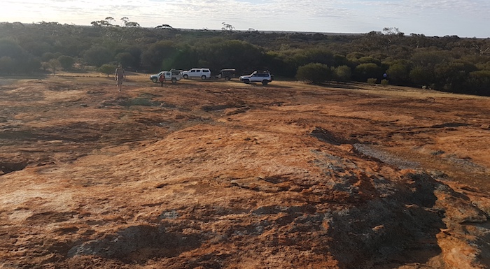
Our camp at Weowanie Rock.
-
-
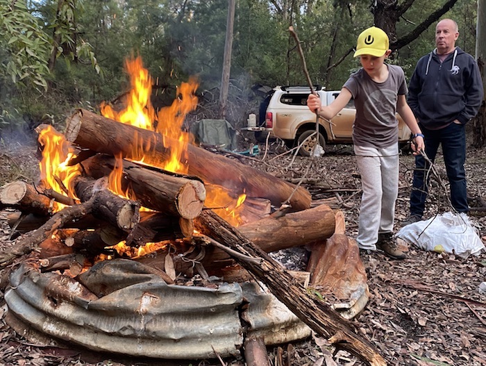
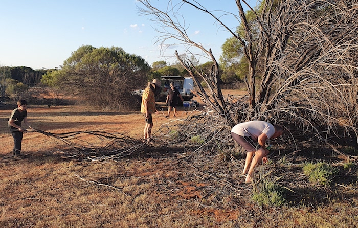
Collecting firewood at Weowanie.
-
-
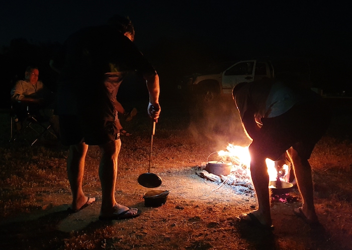
Mike cooking with his camp oven.
-
-
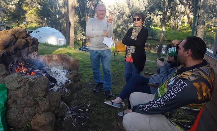
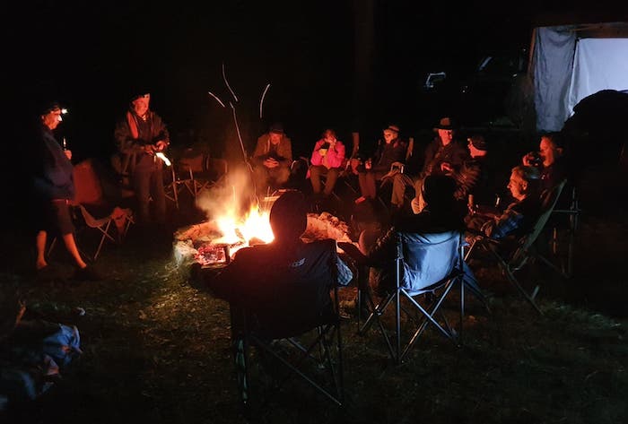
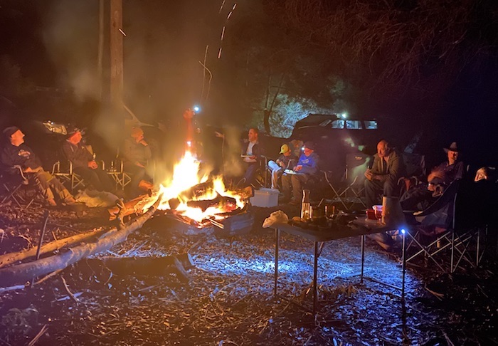
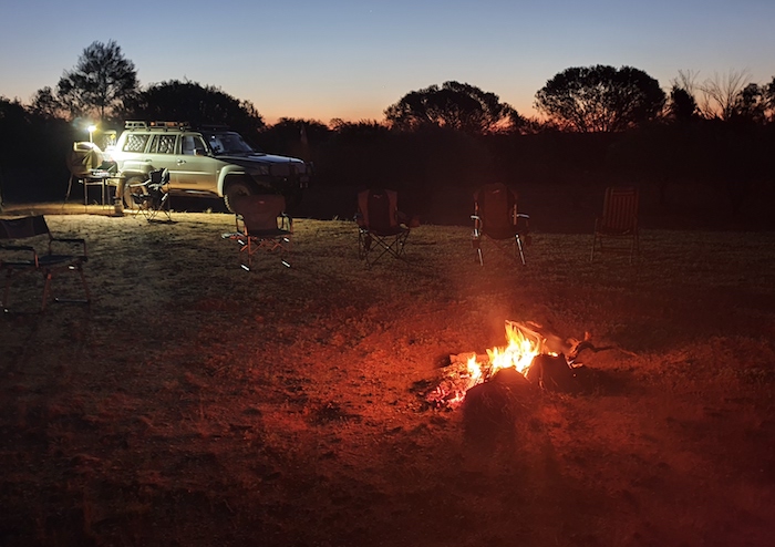
Around the campfire at Weowanie.
The campsite we wanted was occupied but after a bit of looking around we found a great spot – level, open, and plenty of firewood. The only downside was the flies – prolific and persistent.
-

-
The cairn at the top of Weowanie Rock.
-

-
The second tank at Weowanie Rock.
-

-
Overlooking Hunt’s Tank at Weowanie Rock.
In the morning we climbed the rock to the tank made by Hunt’s team in May 1865. Hunt recorded the name as Weonanie and it is not known how or when the change to Weowanie occurred although a transcription error would appear to be likely.
-

-
Brian at some fine examples of rocks sculptured by the process of haloclasty at Weowanie.
-

-
Hunt’s Tank at Weowanie Rock.
Koolyanobbing
The track north from Weowanie leads to a State Barrier Fence and then parallels it to Lake Seabrook. Juardi Station is on the other side of the fence.
-

-
Juardi Station, a former sheep station, was purchased by DEC in 1989 and is a proposed conservation park.
-
-
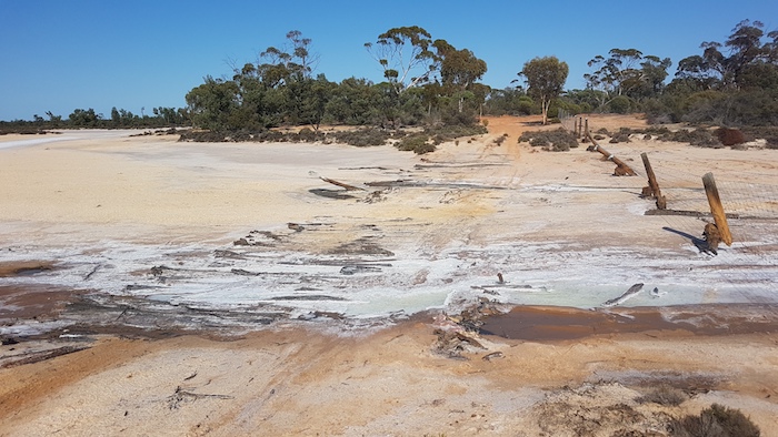
Corduroy crossing over a part of Lake Seabrook.
A corduroy crossing is a trackway made by placing logs or sleepers across the road to get through a muddy or sandy section that would otherwise be impassable. Seen quite often in salt lake country.
This track eventually took us to the Southern Cross Koolyanobbing Road. There is not much to see at Koolyanobbing. It is strictly an accommodation/service town for the mining operations.
We headed south on the railway access track – intending to head west to Bullfinch just north of Lake Julia. That was not to be. Plan B – head west on Perilya Turkey Hill Road – didn’t work either. Although shown on maps as connecting with the access track, these roads no longer do so. And they seem to have disappeared – whether by government agency decree, adverse possession or some other cause it is difficult to know.
-

-
The Koolyanobbing railway runs past Lake Julia.
We were eventually able to make our way to Bullfinch via Corinthia Road – way further south than what we wanted. From Bullfinch we drove to popular Baladgie Rock.
Baladgie Rock
The summit of the rock offers great views of the lake and surrounding farmland. The day was heating up and not everyone climbed.
-

-
Baladgie Rock
This is a very popular free camp location with plenty of protected sites. Unusually, it was unpopulated at the time of our visit.
-

-
The spine of Baladgie Rock.
C.E. Dempster named this ‘Mount Hardey’ during a private exploration in 1861 but that name was not used because of duplication with the name of a hill in York.
-

-
Mike and Jeff climbing Baladgie Rock.
C.C. Hunt recorded it as ‘Balahgin Rock’ during his explorations in 1864, then as ‘Baladgin’ during subsequent observations. Surveyor H.S. King recorded it as ‘Balajie Rock’ and ‘Baladgee Rk’ during surveys when he established his trig station ‘HK2’ on the summit in 1889.
Elachbutting Rock
We took backroads to Elachbutting Rock – an inselberg/monadnock that is considered to be bigger, better and more pristine than any other Wheatbelt granite rock formation.
-

-
Elachbutting Rock
A 4WD track leads to the top of Elachbutting Rock – providing great views of the surrounding farmland. The paddocks immediately in front of the ‘carpark’ are being ‘alley-farmed‘.
Surveyor H.S.King recorded the name for this huge granite outcrop in 1889.
-

-
Sue coming out of Montys Pass.
-
-
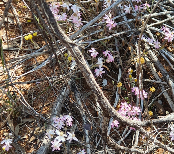
Pink everlastings at Elachbutting Rock.
Elachbutting Rock is a popular camping spot and has been the setting for a number of weddings and other gatherings.
-

-
Micaela at Montys Pass.
-

-
Mike and Jeff inside Montys Pass.
-
-
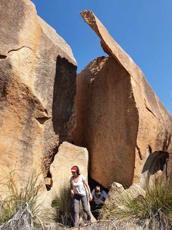
Sue coming out of Montys Pass.
-

-
At the exit to Montys Pass.
-

-
Wildflowers at Elachbutting Rock.
Montys Pass was created when a huge section of the the surface of Elachbutting Rock weathered sufficiently that it slipped. The ‘cave’ at the end of the Pass is actually a tafone.
Beringbooding Rock
This is another popular free camp. Beringbooding has the largest rock water catchment tank in Australia and is a great example of harvesting water. It was built in 1937 using ‘sustenance labour’ at a 2018-calculated cost of $923,000. The concrete tank holds 10,000,000 litres of harvested water. The roof is looking sad and, without intervention, will be gone in a few years.
-

-
Water storage at Beringbooding Rock.
H.S. King established his trig station ‘HK96’ on this rock in 1889 and while he recorded the name it is of unknown origin.
-

-
Cairn at the top of Beringbooding Rock.
-

-
A balancing rock just above a harvest wall.
-

-
Logan is sitting under an spectacularly eroded rock. Aboriginal artwork underneath.
We turned south looking for the most direct route to Mukinbudin, along the way passing through Jouerdine Nature Reserve.
Jouerdine Nature Reserve
This 1800 hectare Nature Reserve protects the critically endangered hinged dragon orchid Caladenia drakeoides. The track through the Reserve is part of the abandoned Old Mount Jackson Road and is an unexpected treat for four wheel drivers, requiring attention and care. Midway through the drive is a small, tucked-away camping area.
Mukinbudin
If the town of Mukinbudin had more water to green up the grounds of the Caravan Park, it would be a stand out location. It is still a top stay with individual ensuites, a well appointed camp kitchen, bbq area/shelter and an open fireplace with plenty of firewood.
Eaglestone Rock
We headed south from ‘Muka’ to Merredin via Eaglestone Rock and Lake Campion.
-

-
Great view from the top of Eaglestone Rock.
This granite outcrop offers great views of Lake Campion, nearby farms and distant hills after an easy climb. When conditions are right the reserve is a mass of wildflowers and consequently is a very popular camping spot. A prominent part of Eaglestone Rock requires specialised climbing gear. Surveyor General J.S. Roe named these rocks in 1836.
-

-
Lake Campion from Eaglestone Rock.
A narrow, twisting track follows the edge of the lake. It is powdery and dusty, and is an interesting drive.
-

-
Lake Campion
-

-
Jeff and Micaela in their Prado.
-

-
Mike and Sue in their Patrol exit the powdery blowout
-

-
Jeff and Micaela in the Prado at the dust hole
-

-
Aaron takes his Patrol through a blowout
We followed the track along a narrow finger of land between Lake Campion on the left and a small lake on the right (actually just another part of Lake Campion) until it reduced to a single motorcycle track. Time to turn around.
-

-
The waters of Lake Campion are on both sides of the narrow track.
-

-
The track twists and turns along the edge of the lake.
We backtracked to a diversion around the small lake but this, too, petered out to a motorcycle track. Aaron persisted and made a track to the lake and then drove along the edge to the causeway. It provided a reasonably firm track if a good speed was maintained.
Mike/Sue and Jeff/Micaela found their own way through to the causeway without driving on the lake. Now known as Lake Campion Track.
-

-
Andrew got his GQ bogged on the edge of the lake. Easily winched out.
After our ‘success’ of getting through from the rock we headed direct to Merredin. After refuelling we embarked on what became a fascinating drive through the wheatbelt to Toodyay.
-
-
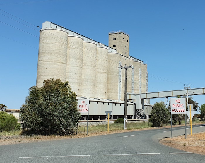
Merredin grain silos.
-

-
Kangaroo in paddock.
-

-
On farm grain silos.
-

-
One of the many backroads we followed through the Wheatbelt on our journey from Merredin to Toodyay.
The Road Trip finished in Toodyay.
© Kim Epton 2019-2021
Feel free to use any part of this document but please do the right thing and give attribution. It will enhance the SEO of your website/blog, and Cockburn 4WD Club.
Text and layout Kim Epton
Photographs
Micaela Anderson
Kim Epton
Brian Hunt
2685 words, 82 images.
See Terms of Use