A four day tour of the Pithara/Dalwallinu area in early October 2020.
Our Road Trip was a little bit late for the best of the annual spectacular wildflower display, however, this was no loss as the locals believed that the season was less than optimal anyway.
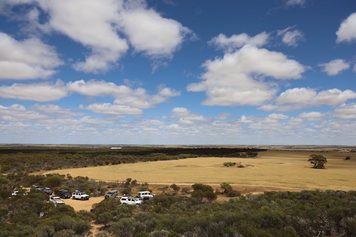
Trip Leader Matt Hall arranged for us to camp on a friend’s farm at East Pithara.
-

- Paul and Kim put out signs to guide the crew to the farm.
-
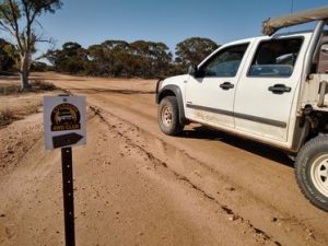
- Signage to guide the crew to the farm.
Day 1 – Pithara-Kalannie-Xantippe-East Pithara
Pithara
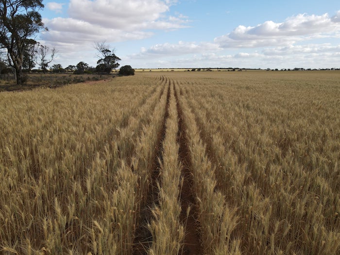
We met at the nearly non-existent hamlet of Pithara. This dot on the map in a vast wheat growing area was first named Hettie in 1914 but was soon changed to Pithara, the aboriginal name of a nearby watering place.
Pithara is the site of Western Australia’s first fatal commercial crash.
Petrudor Rocks
-
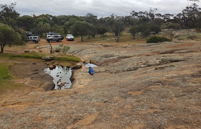
- Petrudor Rock
Petrudor Rocks is a large granite outcrop with waterholes at the base. The site was once important to aboriginals and later was used by stockmen to water their cattle. The name is of unknown derivation.
-
- On Petrudor Road.
-
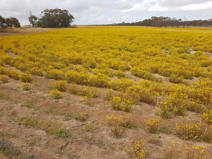
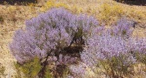
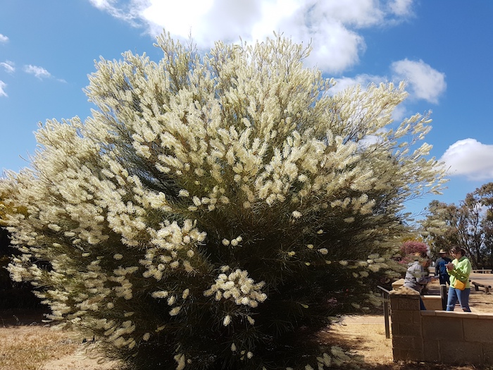
- A whole paddock of planted wildflowers along Jones Road.
-
- Timber Reserve on Jones Road, near Kalannie.
-
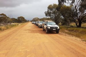
- Convoy on Jones Road.
-
- Along Jones Road.
Kalannie
Kalannie is the centre of a large wheat growing area and an award winning Landcare area. It is also a potential mallee oil production centre. Trials are ongoing.
When the government decided to extend the Ejanding Northwards Railway line to the Kalannie area in 1928, the area was known as Lake Hillman, and local farmers argued strongly for this to be the name of the proposed line terminus.
-
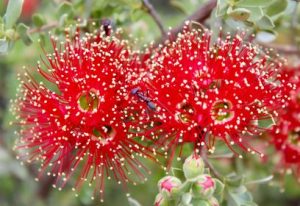
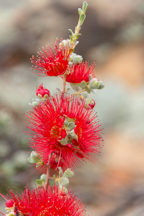
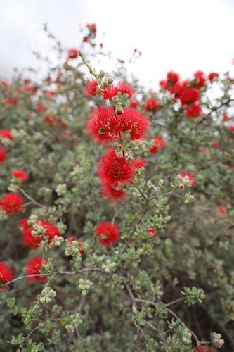
- Callistemon on Kalannie Road.
The Railways Department opposed the name Lake Hillman because there was already a Hillman in existence. The name Kalannie was selected in its place. It is of aboriginal derivation from the York area where the meaning is given as ‘place of the white stone’. It was here that white stone for spearheads was quarried. Just what the connection is between a York quarry and the Kalannie area is unknown.
-
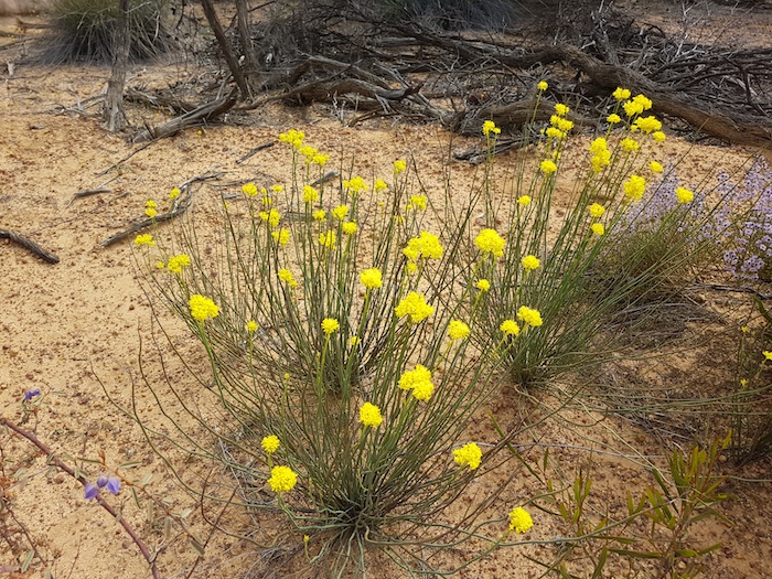
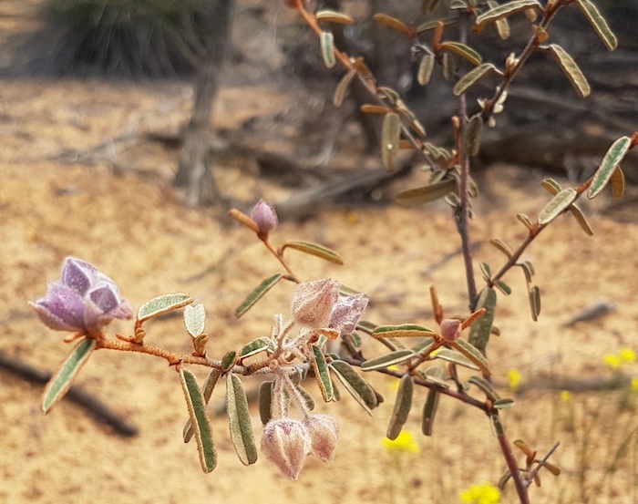
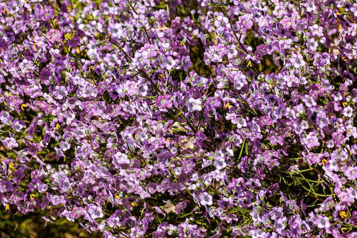
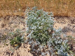
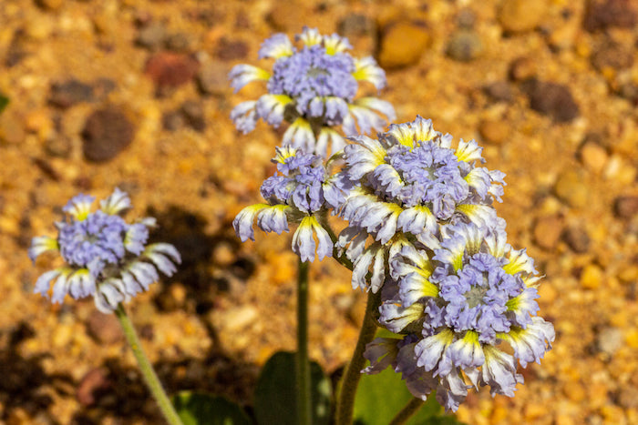
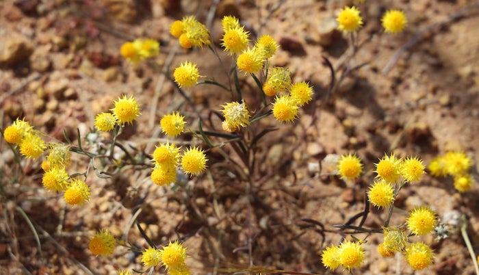
- Very common but unidentified yellow flowering plant.
Xantippe
A Gold Mining Lease in this area was named Xantippe in 1880.
-
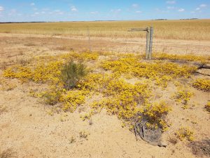
- A very common sight around Dalwallinu.
Xanthippe – (flourished late 5th century BC) was an Athenian matron and wife of the philosopher Socrates, to whom she bore three sons. She is said to have been highly temperamental and although little reliable evidence exists to support the conclusion, her name has become synonymous with an ill-tempered, nagging wife, or shrew.
-
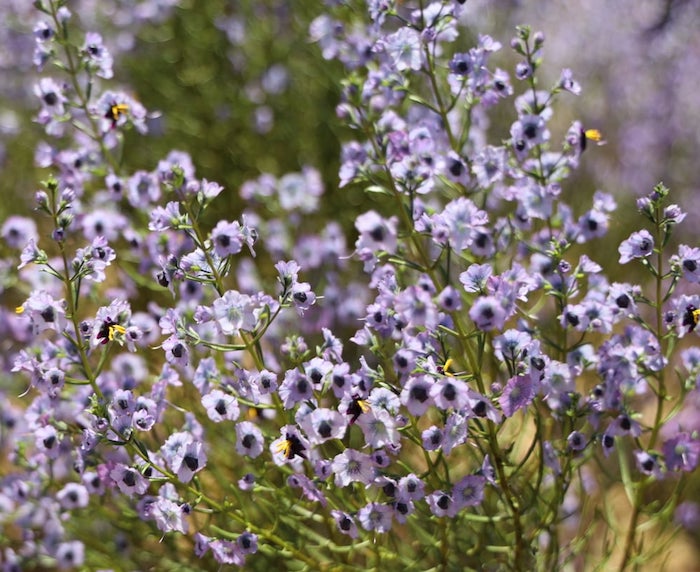
- Near Xantippe.
The granite outcrop at Xantippe was ‘harvested’ for water from 1923. This harvested water was directed to a large concrete tank of unusual design – the pipework is level with the bottom of the tank and then directs flow upward to enter the tank at the top.. The project was completed in 1927. It was initially intended that the water harvested at Xantippe supply Dalwallinu but it was unable to be pumped over the hills – though farmers in the area managed to pump water over the same hills.
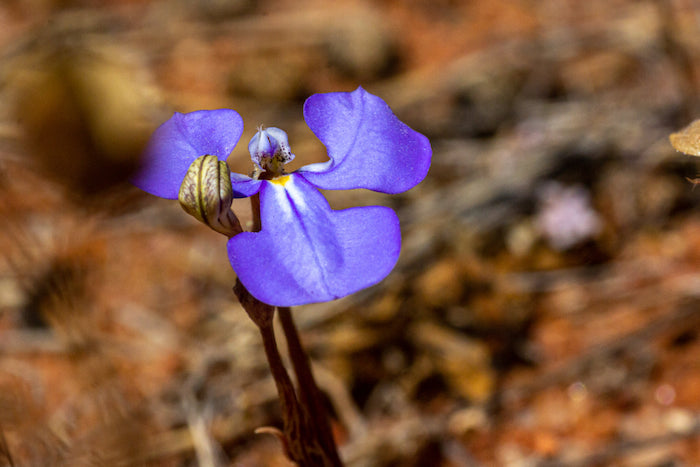
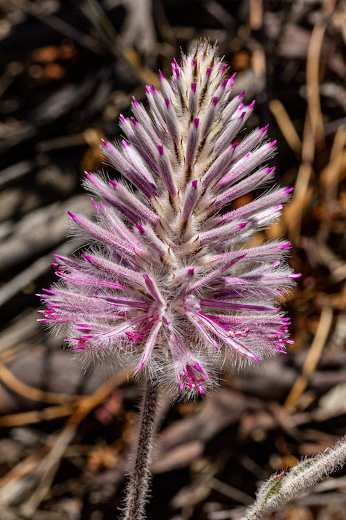
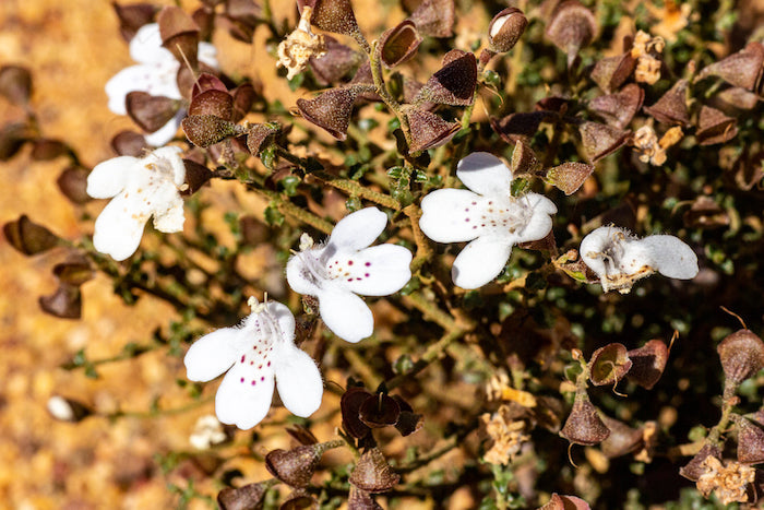
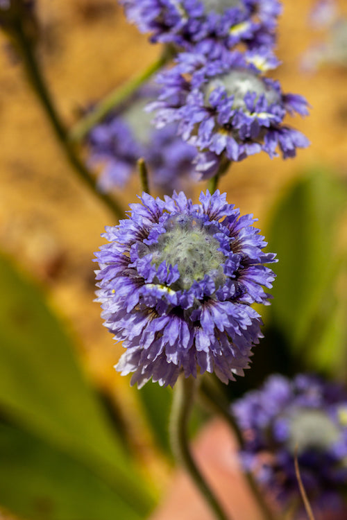
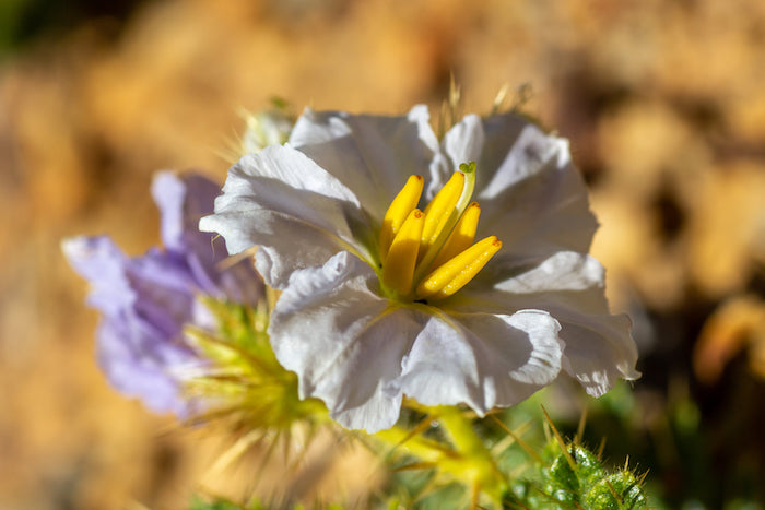
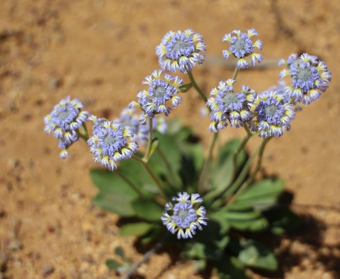
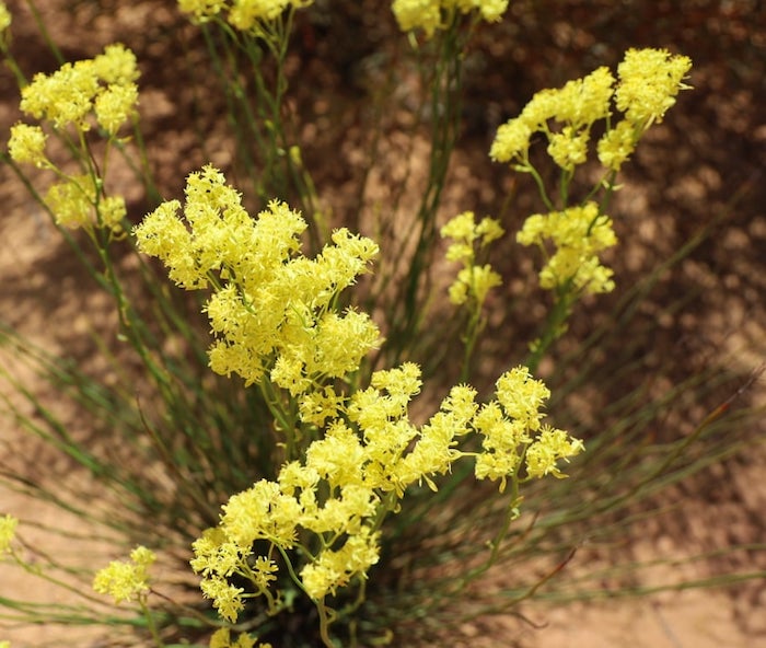
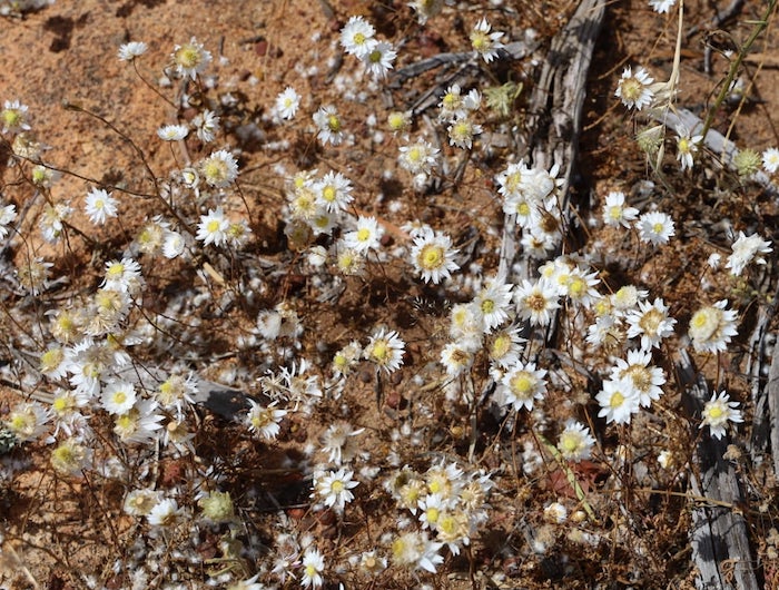
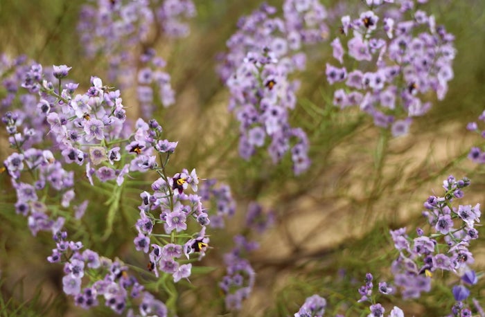
Wildflower Gallery
by
Mark Gray
-
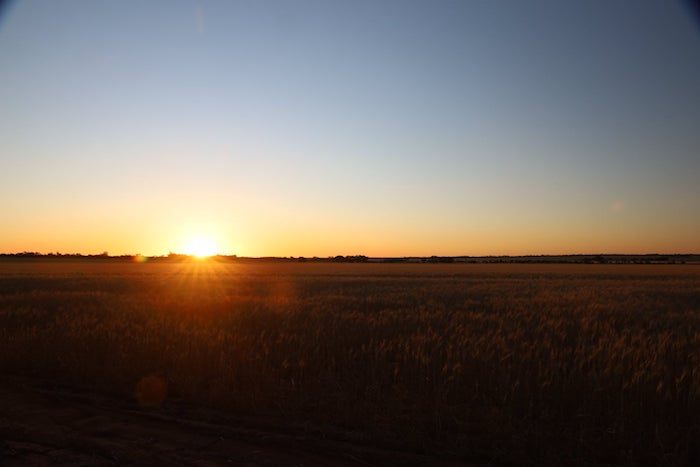
- East Pithara sunset.
Day 2 – Hughenden Rock-Boogoordar Rock-Calibro-Jibberding-Boundary Riders Waterhole
-
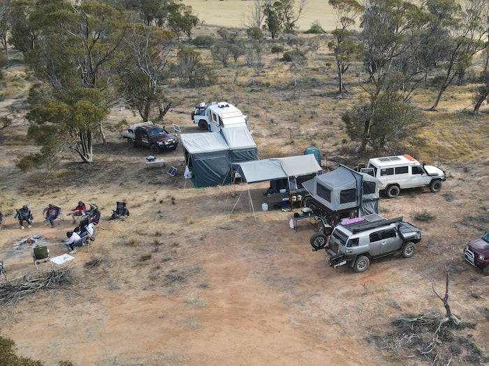
- Campsite Day 2.
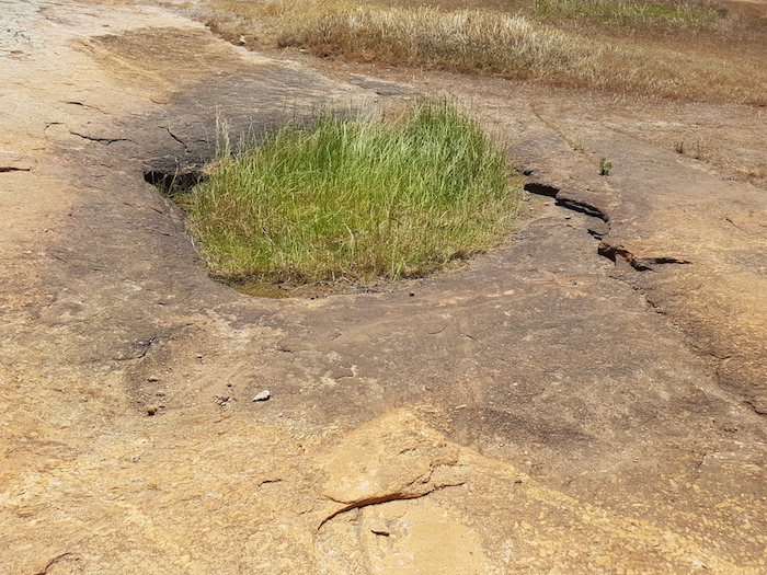
Hughenden Rock Gnammas
These Gnammas are protected by Reserve 20482. The naming of the rock dates back to the 1880s.
-
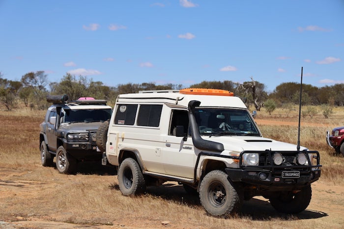
- Glenda’s FJ Cruiser and Brad’s Troopy.
-
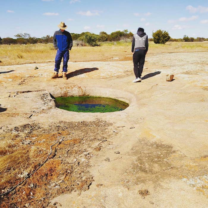
- Shaun and Nick at gnamma.
Goodlands Road
Goodlands Road is a highly regarded ‘Flora Road’.
-
- On Goodlands Road.
-
- On Goodlands Road.
-
- On Goodlands Road.
-
- On Rabbit Proof Fence Road.
It is also a connecting artery to the Great Northern Highway and, as such, is an attractive route for road trains. This one dusted everyone.
-
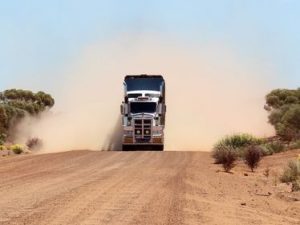
- Approaching road train.
-
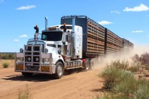
- Road train on Goodlands Road.
Jibberding Reserve
Jibberding is renowned for pink, white and yellow Everlastings, however, we saw no sign of them.
-
- Covered waterhole at Jibberding reserve.
Cailbro School
This mud brick school on Carter Road that was built by the community in 1939. It has been restored and is maintained by the Cail family.
-
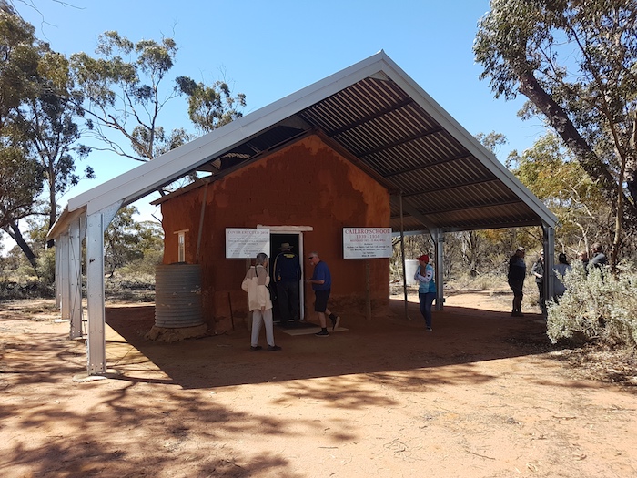
- Restored Cailbro School.
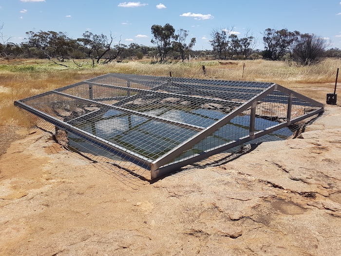
Boundary Riders Water Hole
This waterhole which was put down when the No 2 Rabbit Proof Fence was constructed in 1904. It stored water for the boundary rider who was responsible for looking after the Rabbit Proof Fence.
A few posts indicate the remains of the bush shelter where the boundary rider stayed.
-
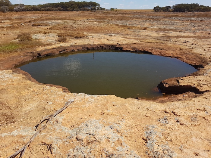
- Boundary Riders Waterhole on Rabbit Proof Fence Road.
We made our way back to camp.
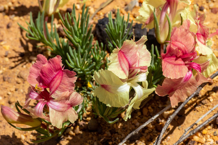
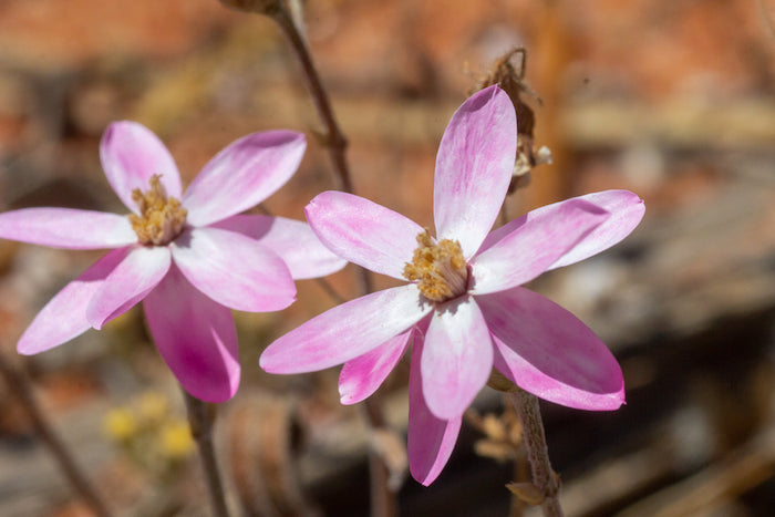
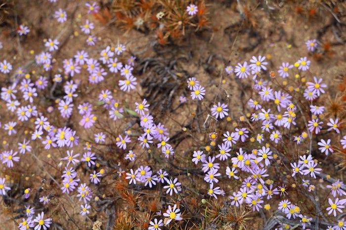
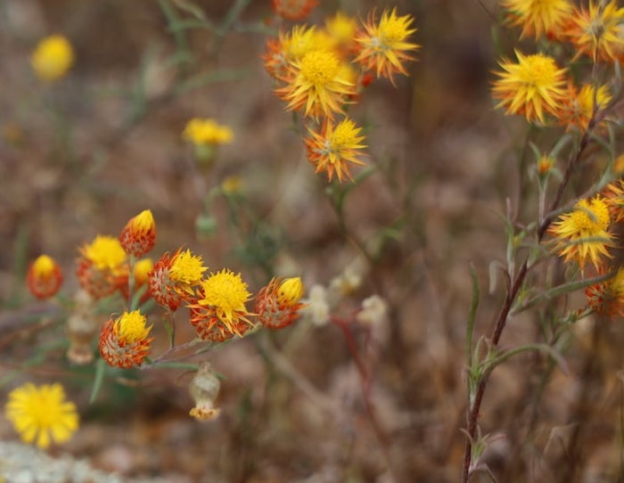
Wildflower Gallery
by
Mark Gray
Day 3 – Heritage Wheat Bin-Wubin Rocks-Buntine Rocks-Miamoon-Dalwallinu
-
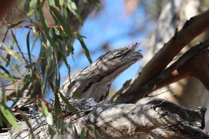
- A frogmouth in tree overlooking camp.
-
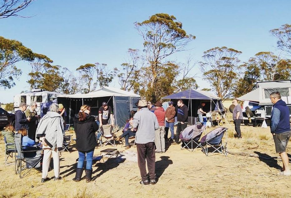
- At camp early on Sunday morning.
Heritage Wheat Bin Museum
Despite Matt’s best efforts, Covid 19 restrictions meant that the old wheatbin – which sits side by side with today’s modern storage bins, and gives a direct comparison between past and present day grain handling – was not open. But there was coffee. According to Nick, the worst he had ever tasted.
-
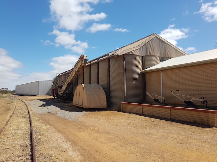
- Wubin grain bin museum.
-
- Magnificent wildflower display at Wubin.
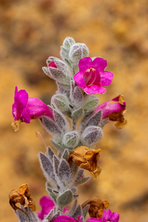
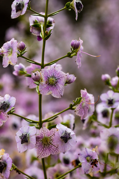
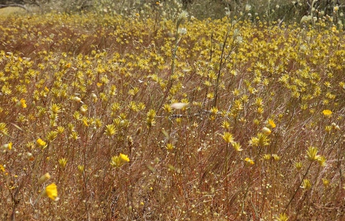
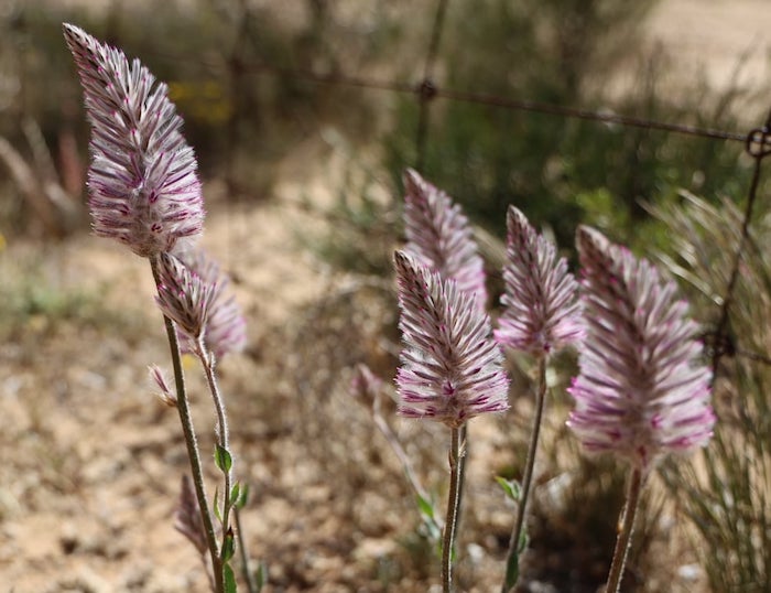
Gallery
by
Glenda
Buntine Rocks
Buntine Rocks provide spectacular views of the surrounding farm land.
-
- View from Buntine Rock.
-
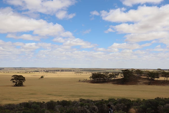
- View from Buntine Rock.
Miamoon
Miamoon, 17 kilometres west of Wubin along Gunyidi Road, is a great spot for orchids in season. There is a gnamma in the granite rocks.
-
- Gnamma at Miamoon.
This name was originally applied to a farm in about 1908-1909 and later to a school from 1930 – 1952. There was a progress association, a cricket club, a football team and a tennis club also using this name in the area.
The name is believed to be of aboriginal origin.
Dalwallinu
The Road Trip was conveniently timed to have lunch at the Dally pub. They did well to efficiently handle the sudden influx of a large group.
-
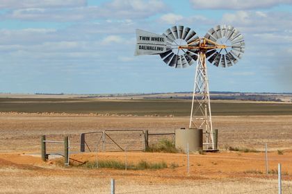
- Unusual double windmill setup.
-
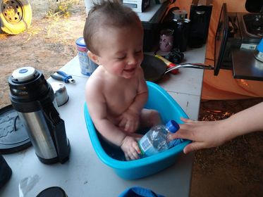
- Bathtime for Blair.
© Cockburn 4WD Club 2020
Feel free to use any part of this document but please do the right thing and give attribution. It will enhance the SEO of your website/blog and that of the Cockburn 4WD Club.
Text and Layout Kim Epton
Photographs
Jane Dooley
Glenda Jones
Mark Gray
Kim Epton
1001 words, 65 photographs.
See Terms of Use