The main aim of this Trip was to relocate an historic Bicentennial Plaque, however, there was much to see and do before and after we got to Karalee, scene of our project.
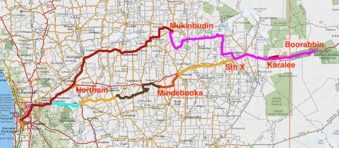
To Mindebooka
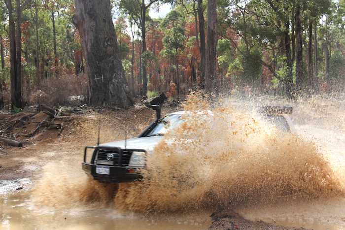
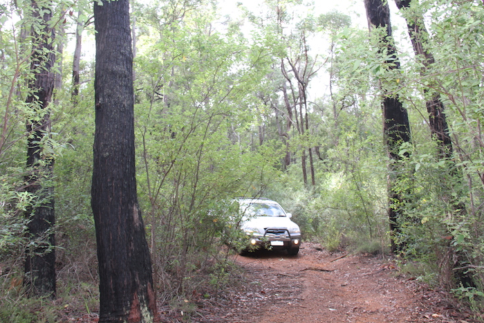
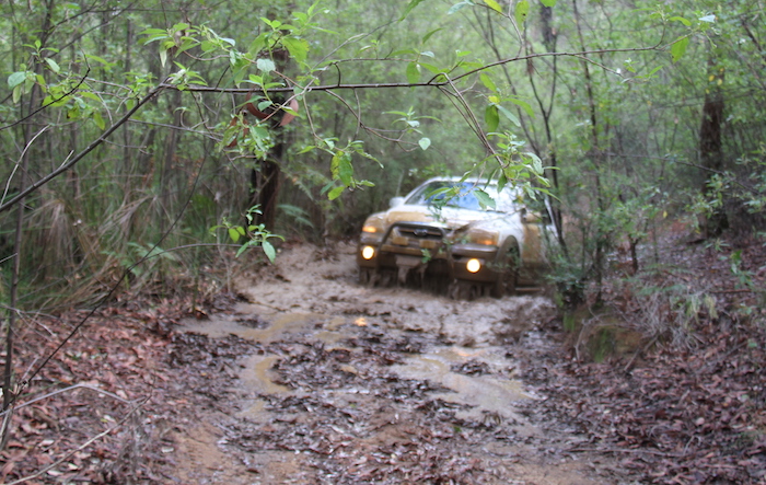
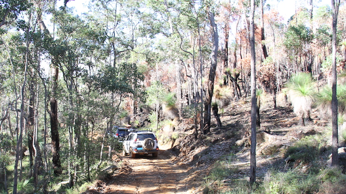
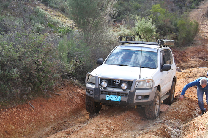
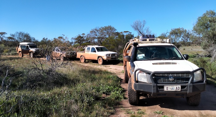
Friday night camp was at Mindebooka Hill, one of our ‘get out of town’ locations. Getting to the campsite on Friday afternoon was an adventure in itself. The planned Route was across low lying, salt lake country that, ultimately, is part of the Baandee Lakes system. We reversed out of the slippery area and made for Great Eastern Highway, arriving at Mindebooka just on dark and just as a storm was about to hit.
-

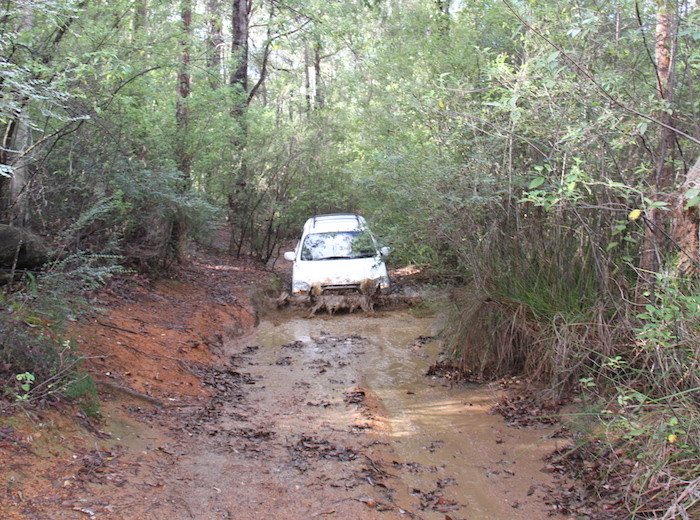
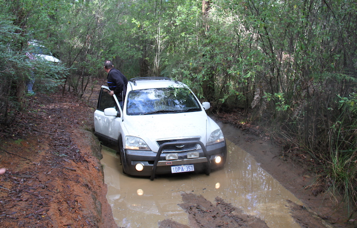
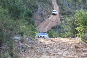
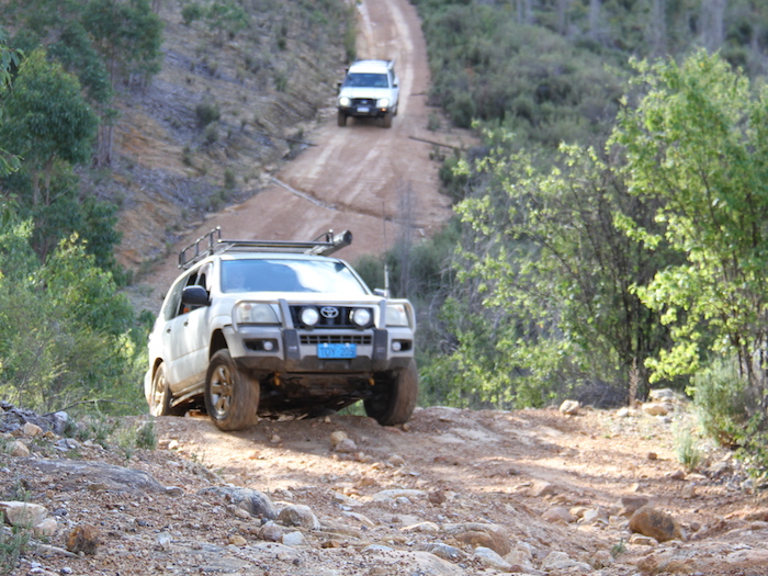
- Scott and Mark in the Patrol made it through.
-

- Cliff drives his Courier through the slop.
A couple of popup shelters made what could have been a miserable night into quite a pleasant occasion in front of a great fire. For a change, we camped on the south side of the hill.

The planned Route required us to leave Southern Cross with full fuel tanks. The roadhouse servo was very busy – a sign of the times.
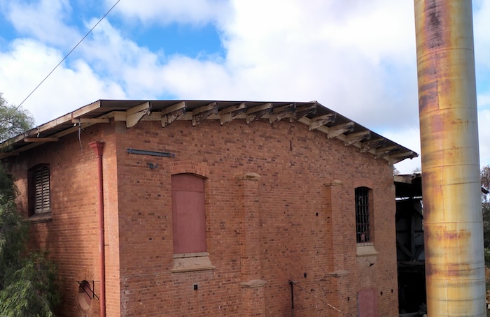
Ghooli Pumping Station
Thirteen kilometres out of Southern Cross we turned into the No. 6 Pumping Station at Ghooli. The pumps, though inoperable, are still in good condition.
-
- Ghooli Pumping Station


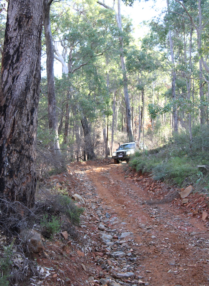
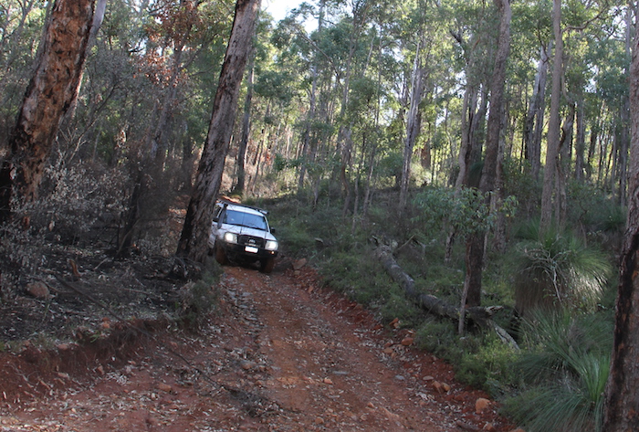
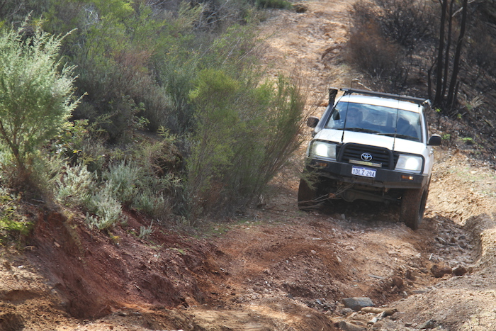
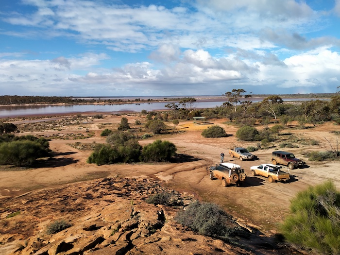
At Yellowdine we picked up the Hunt Track heading to Karalee. A loader or similar had been used to rework the track from the lake at Yellowdine to just short of Karalee. What was once a tight, twisting, rough, overgrown track was now an easy, pleasant drive.
Morlining Well
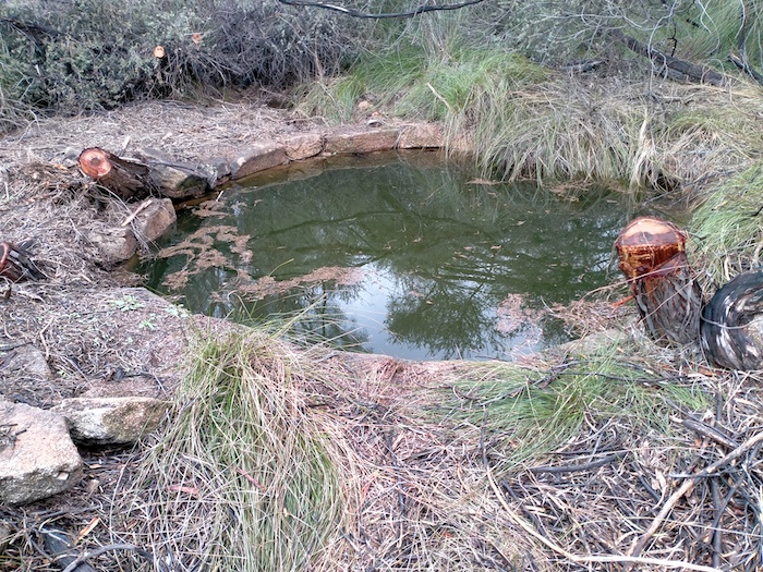
Morlining Well was an important water source for hopeful diggers heading to the goldfields along Hunt Track in the 1890s.
-

- Mark, Gary and Kerry at Morlining Well. It is a beautifully constructed dry rock wall well about six metres deep.
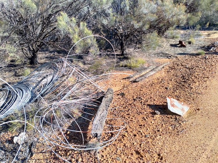
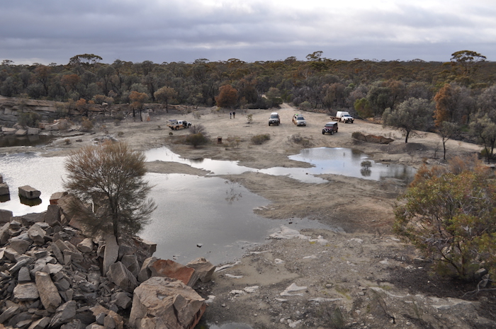
Karalee
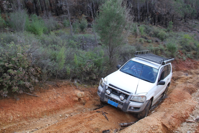
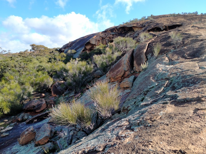
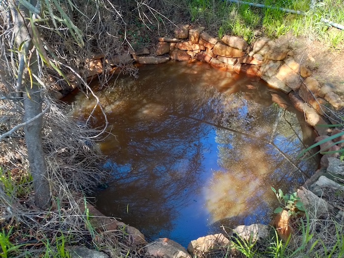
The repaired track ended where some new 1080 poison warning signs had been installed. We investigated the water harvesting infrastructure on the southern portion of Karalee Rock.
-
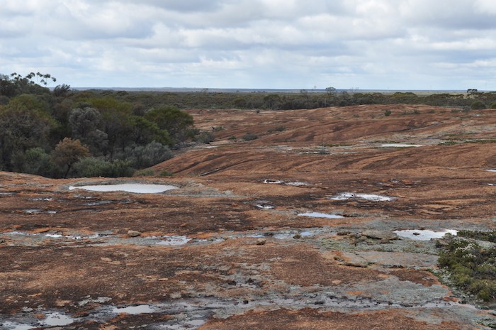
- Lots of water on Karalee Rock.
-

- The rock had been quarried to make the harvest wall slabs.
-

- Harvest wall.
-

- Channel from the rock to the reservoir.
-

- Aqueduct to carry the water across a gully.
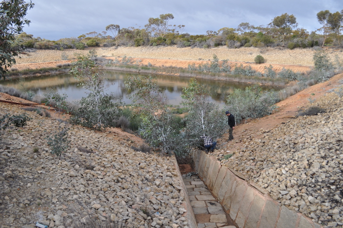
Installation of Plaque
The diversion channels led us to Hunt’s Dam where we were able to place the Bicentennial Plaque in its correct location. Home after 33 years.
Wooden Pipeline
Leaving Karalee we followed the Hunt Track to Koorarawalyee, near where James showed us the remains of a section of the world famous Mundaring to Coolgardie pipeline that was made of wood. It was in use until the 1960s.
-
- Sections of pipe were made from long staves of wood that were held in place by wire.
-

- Wood and wire.
-

- The pipe sat on concrete plinths.
-

- Even when new the wooden pipeline leaked a lot if water.
-

- Bitumen was used to help seal the pipe.
-
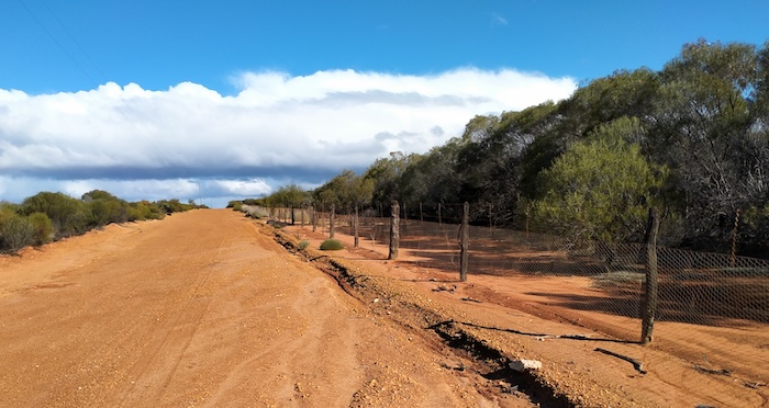
- Vermin Proof Fence at Koorarawalyee.
After successfully locating the abandoned wooden section of pipeline we continued west along the pipeline to the abandoned Gilgai No. 7 Pumping Station.
-

- The large pipe brought water pumped from the No.6 Pumping Station into the tank so it could be pumped further east.
-

- Water has to be pumped from a pool or tank such as this. It can’t be pumped from a pipe.
Cobb & Co. Well
From Gilgai we headed back to Great Eastern Highway to try to find an old Cobb & Co. well. The key to finding this well is to first locate Campbells Tree (a kurrajong) at the side of the Highway or to find the pipeline crossing 6.3 kilometres to the west of the tree. We located the tree, drove west along a track paralleling the highway for 1300 metres, then clambered over the pipeline and searched for the well which wasn’t too difficult to find. It is reputed that a rabbit shooter fell into it and died before being found.
-
- Cobb & Co, Well where reputably a rabbit shooter fell in and died.
-

- Cobb & Co, Well
-

- Cobb & Co, Well
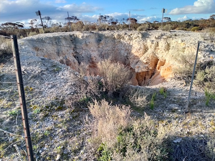
Camp at Boorabbin
Under threatening skies we made our way to Boorabbin, electing to camp between the reservoir and the quarry. In the morning we checked out the quarry and removed some bushes that were threatening the heritage infrastructure.
-
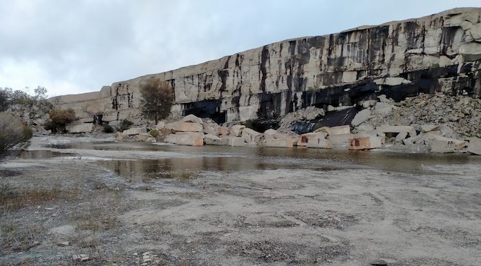
- Boorabbin quarry.
-
- Spectacular from the top of the quarry.
-

- Diversion channel leads from Boorabbin Rock to the upper reservoir.
-

- The smaller upper reservoir.
-

- Underground pipe connect the two reservoirs.
-

- The main Boorabbin Reservoir.
The upper reservoir has a surface area of 1600 square metres and the lower reservoir 2500 square metres. These reservoirs along with the one at Woolgangie were substantially drained of water to fight recent bushfires.
-

- The bush was threatening to crack the concrete structure.
-

- Bush removed, hole filled, damage averted.
-
- Removing saplings that will damage the structure.
Hermits Hut
It was time to visit the Hermit’s Hut.


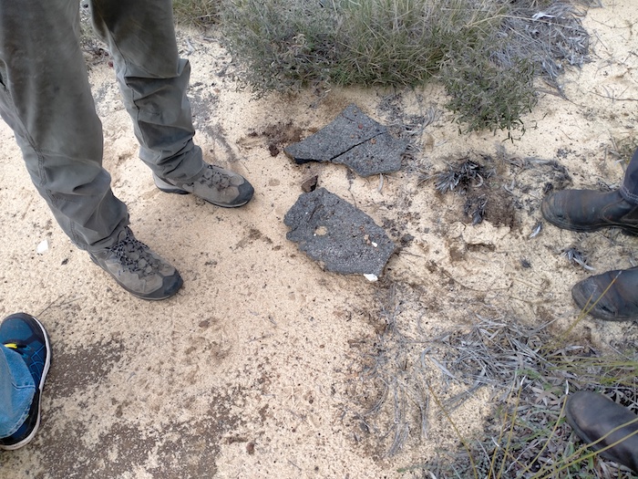
WWII Airstrip
The location of this airstrip was considered to be far enough away from the coast so as not to vulnerable if there was a coastal invasion. Little is left although the outline of the strip and some remaining bitumen can be seen.
-
- Bitumen remains of airstrip.
Pioneer Well
From the airstrip we walked about 750 metres south-west in search of an unnamed well. It was possibly a water supply for people at the airstrip although it is likely to have been dug before the airstrip was constructed.
-

- Our walk to and from the well.
-

- Unnamed pioneer well near World War II airstrip.
The leading edge of a storm hit as we walked from the pioneer well back to the abandoned airstrip. The heavy rain persisted all the way through our drive to Boondi. It was clear that the rain had settled in and the country around Boorabbin/Woolgangie is no place to leave a sealed road in the wet. While waiting for Boondi Reservoir to overflow we decided to turn around and head west.
-
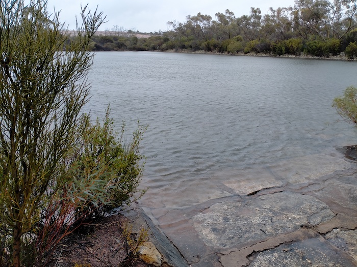
- The reservoir at Boondi is about to overflow. The surface area of the water at Boondi covers 6200 square metres which is 0.62 hectares or about 1.5 acres.
Rather than just head back to Cockburn we elected to visit Kodjerning Well, Moorine Rock Well, and Karolin Rock to check out the results of our handiwork two months earlier.
Karolin Rock and Wells
Further work will be done on these wells to clear trees and vegetation away from them and make them an accessible tourist site.
-
- Round well
-

- Keyhole sump
-

- Walk in well
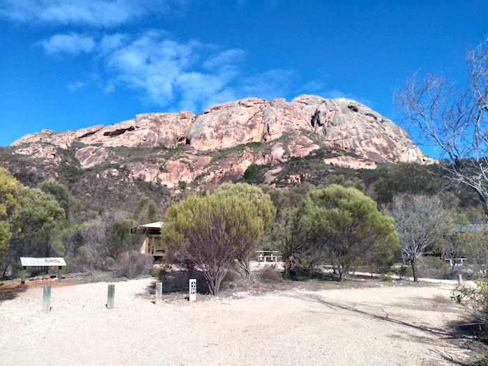
Baladgie Rock
Leaving Karolin Rock it is only a few kilometres to Baladgie Rock and Lake. This is a popular overnight stop for travellers with basic facilities and fantastic views of the lake from an easy-to-climb rock.
-
- Baladgie Lake from Baladgie Rock.
-
- Baladgie Rock
Collection of Model Ts
Our journey took us to Mukinbudin, where we stayed overnight. We were lucky enough to get an invite to see a private collection of veteran cars on a farm just outside of town.
-

- 1926 Model T Ford
-

- 1914 Model T Ford
-

- 1911 Model T Ford
-

- Tractors
We took back country roads from Mukinbudin to Dowerin, stopping at some pioneer wells along the way, including Moujakine, Trayning and Nanning.
Moujakine Well
-
- Moujakine Well
-
- At Moujakine.
-
- White Man Rock at Moujakine.
The Trip ended at Goomalling.
© 2021 Cockburn 4WD Club, Kim Epton and Andrew Brooks
Text and Layout – Kim Epton
1251 words.
Photographs/Images – Kim Epton and Andrew Brooks
52 photographs, two images.
Feel free to use any part of this document but please do the right thing and give attribution. It will enhance the SEO of your website/blog and that of the Cockburn 4WD Club.
See Terms of Use