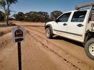
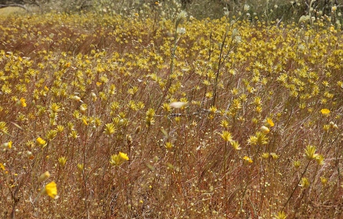
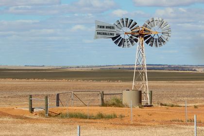
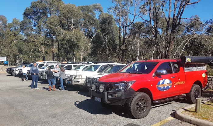
The ‘Holiday Hiatus’ (xmas to New Year) is an ideal time to get away. Our version of ‘Romjul’ allowed us time to recce the southern part of Drive Darling Scarp – an awesome 4WD Road Trip in preparation.
The plan was to drive south from Karragullen to Pemberton, following the Darling Scarp as closely as we could, checking out tracks as we went and confirming their accessibility. As the Trip progressed we were able to keep fairly close to the plan.
Saturday 26 December 2020
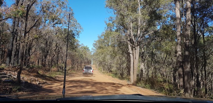
We turned off the Brookton Highway onto Kinsella Road, a gravel road in reasonable condition that connects with Albany Highway. It passes through the Monadnocks Conservation Park (not much different from a National Park). Through Jarrahdale, onto Scarp Road and into Serpentine National Park. Past North Dandalup Dam and onto Del Park Road to again pick up Scarp Road.
Forty metres onto Scarp Road we saw this sign.
-

- A bureaucratic mistake.
Although the road looked well used we respected the prohibition, turned around and resumed our journey along Del Park Road before taking a track I had used numerous times previously that took us into Marrinup. From there we continued to Scarp Pool and then the underwhelming Scarp Lookout.
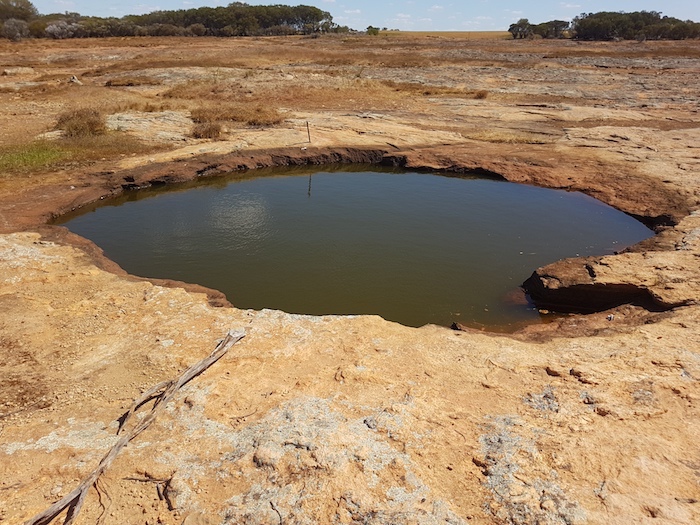
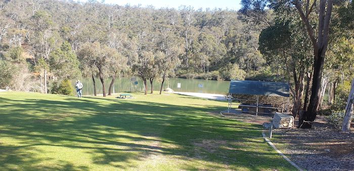
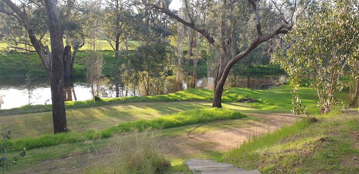
Scarp Pool
-

- Scarp Pool
-

- Paddlers at Scarp Pool.
-

- Below Scarp Pool.
Leaving Scarp Pool we headed west on Pinjarra-Williams Road, for Cookernup. As we approached Scarp Road’s intersection with Pinjarra-Williams Road I decided to check it out. There is no Water Corporation ‘No Entry’ sign here.
Oakley Dam
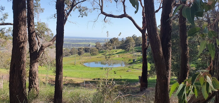
Seven kilometres along Scarp Road is the turnoff to Oakley Dam. This is hidden gem. A great, un-advertised swimming hole. The associated Lookout is difficult but not impossible to access from the dam – it would seem that the intention is to access it via a lengthy walk on the opposite side of the car park – but it does provide great views over the coastal plain and the Alcoa Refinery.
-

- Scott at Oakley Dam.
-

- Oakley Dam Picnic Area
-

- Pool at Oakley Dam.
-

- View from the Lookout.
-

- Alcoa Refinery from the Lookout.
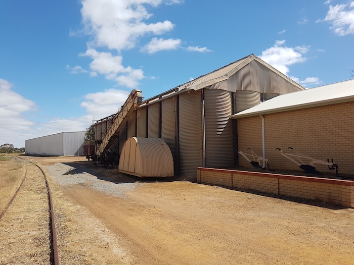
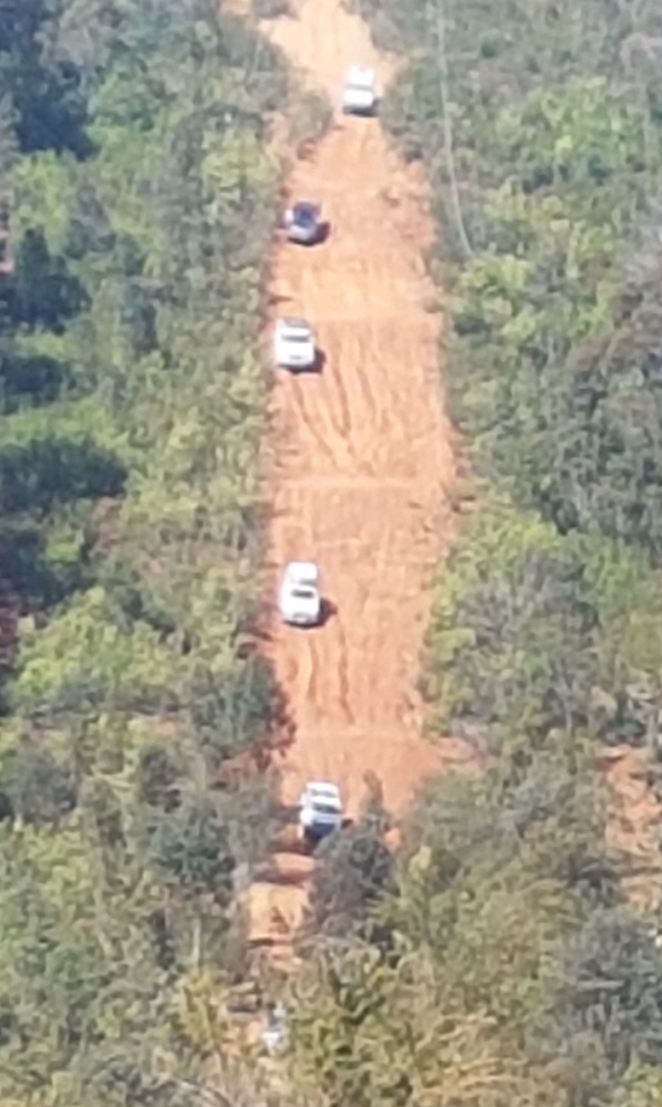
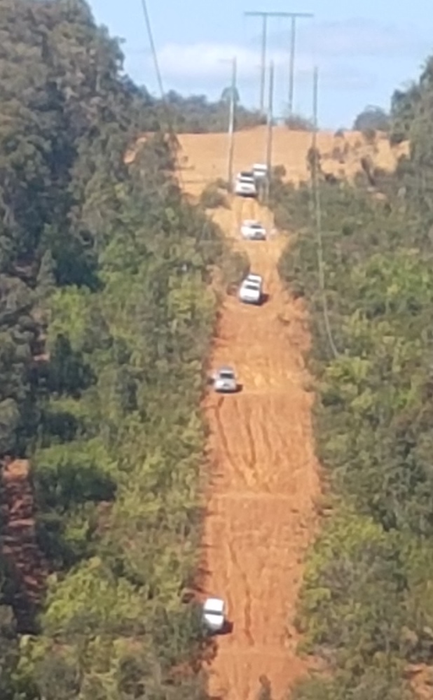
We continued north along Scarp Road, crossed Alcoa’s conveyor belt and eventually came to point where we had turned around a couple hours earlier.
-

- Scarp Road goes over the bauxite conveyor.
There is no matching sign at the Pinjarra Williams Rd end of Scarp Road nor anywhere along it. There are numerous signs in the intervening 14 kilometres between those two points warning that certain activities such as boating, camping, fishing marroning, etc are not permitted but nothing about ‘No Entry’. A bureaucratic bungle.
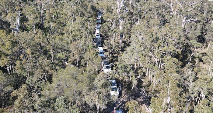
From the amount of traffic that clearly uses the road it would seem that the reasonably-difficult-to-see sign is largely ignored.
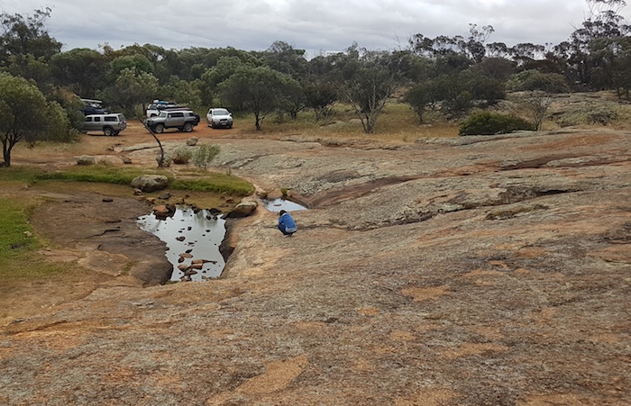
The ‘official’ Drive Darling Scarp route is along Murray River Fireline that, as the name suggests, follows the Murray River. From Driver Road the route is west to Hoffmans Mill. We had done this route a few weeks previously so we decided to instead take the bitumen to Cookernup on the South Western Highway and then rejoin the Drive Darling Scarp route at Logue Brook.
-

- Holidaymakers at Logue Brook.
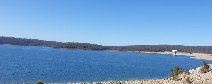
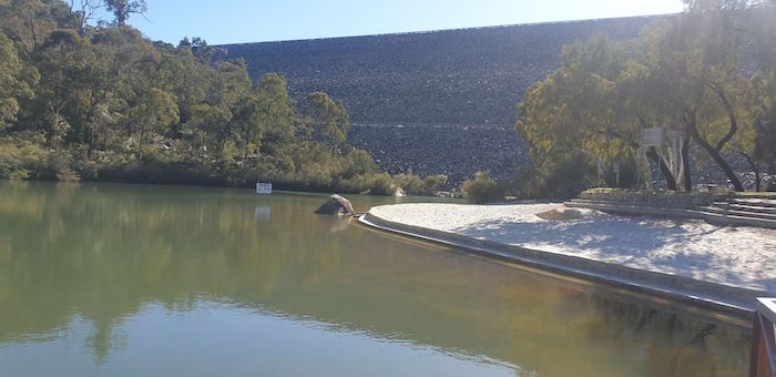
Stirling Dam
Leaving Logue Brook we headed to Stirling Dam, not confident that we could get past this imposing construction without a lengthy detour. And so it was.
-

- Stirling Dam
-

- Steep
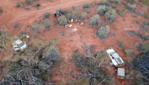
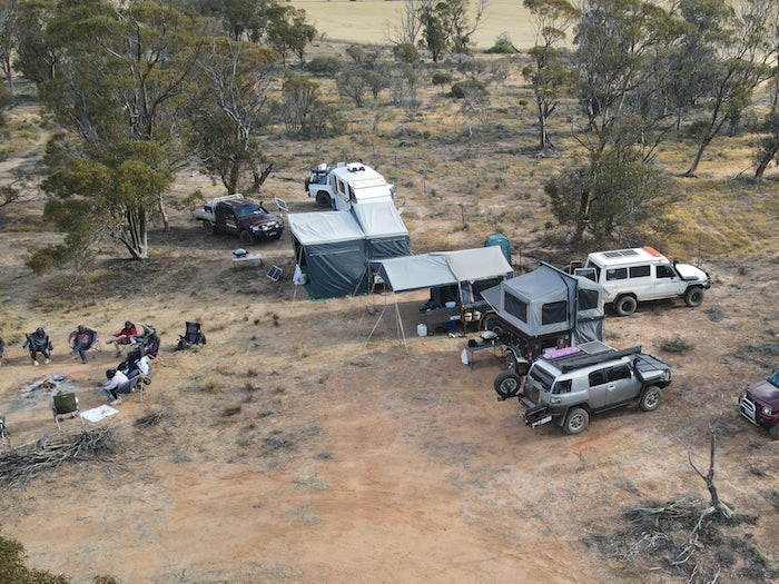
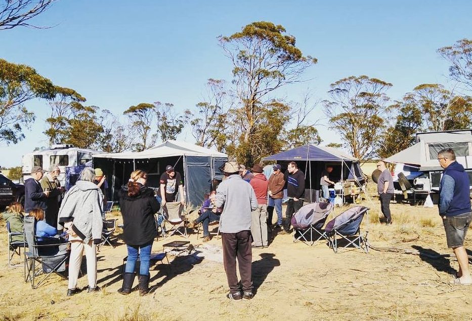
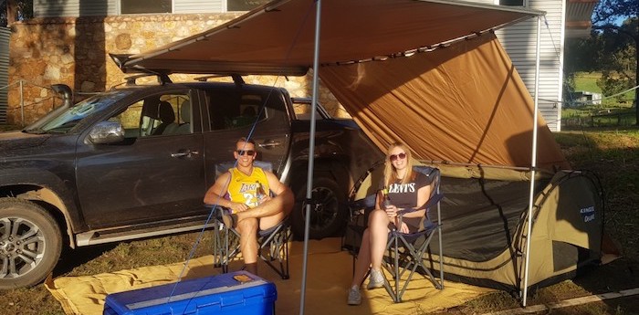
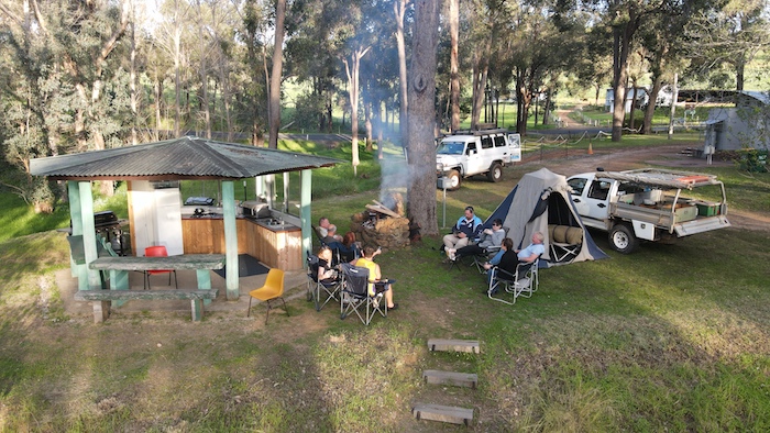
Our detour took us over the Worsley conveyor a couple of times. We eventually got to Big Tree Road and found an acceptable campsite in the Brunswick Hills.
-

- Scott’s camp.
-

- Kim’s camp.
-

- Aaron’s camp.
Sunday 27 December 2020
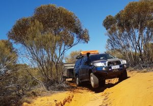
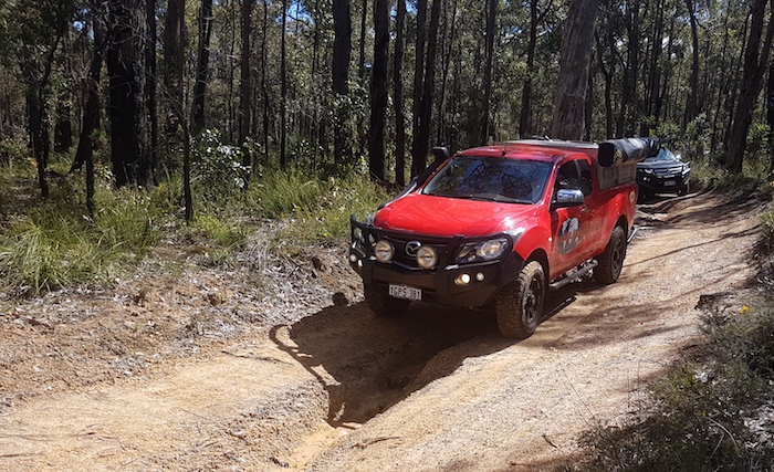
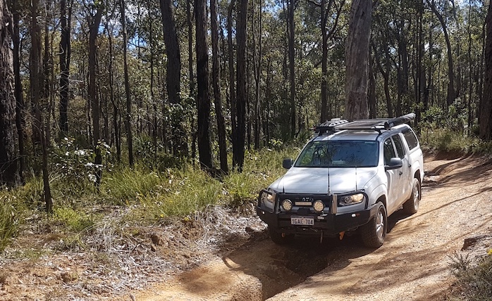
The Brunswick Hills 4WD tracks have a fearsome reputation. Our recce was more about linking features, attractions and four wheel driving tracks rather than actually doing the 4WD challenges so we tried out only a couple of tracks.
Brunswick Hills
-
- Scott takes in Patrol through a creek bed to get out of camp.
-

- Track off Big Tree Road.
-
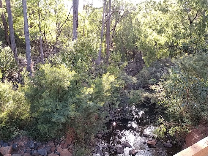
- Brunswick River
Time to head south along the Darling Scarp again
-

- Beela Road
-

- Leaving the Brunswick Hills area on Beela Road near Matilda River.
Beela Road took us out of the Brunswick Hills and on to the Lennard Track. As with the Murray River Fireline, we had done this track only a few weeks previously so elected to take the scenic route through the beautiful Ferguson Valley, up Mount Lennard and down Lennard Road (rather than Lennard Track).
-

- Television mast at Pile/River Road.
We continued south through Kirup and pushed through an interesting grove of banksias to the Balingup-Nannup Road. – one of Australia’s great drives. The 41 kilometres of bitumen between Balingup and Nannup has 90 bends, great country scenery and closely follows the Blackwood River. Though Nannup is a few kilometres off the line of the Darling Scarp, this drive makes the diversion worthwhile.
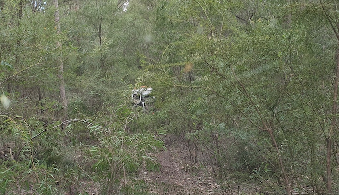
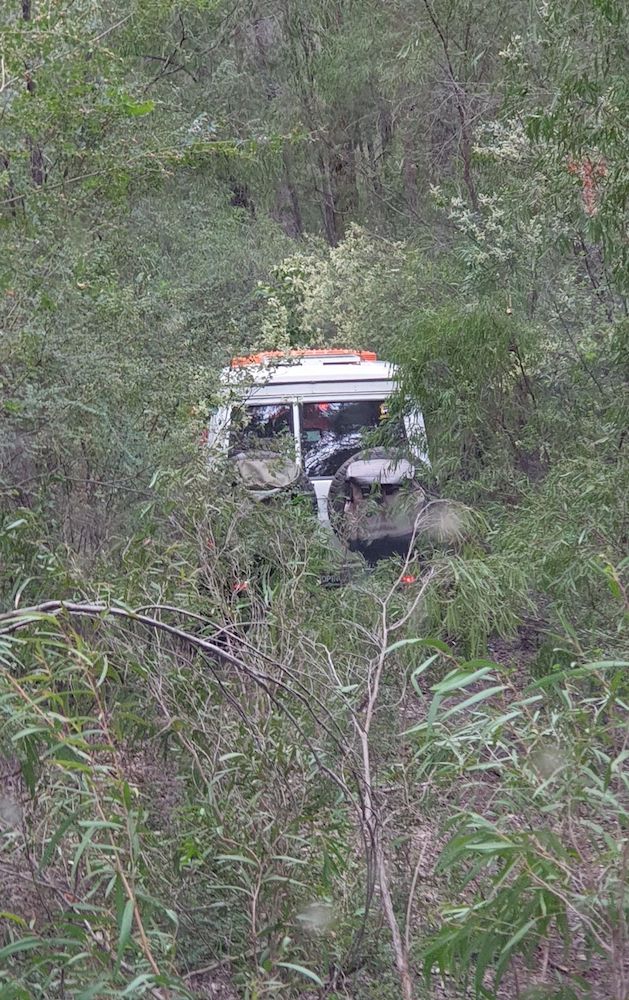
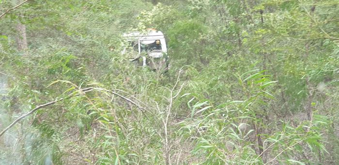
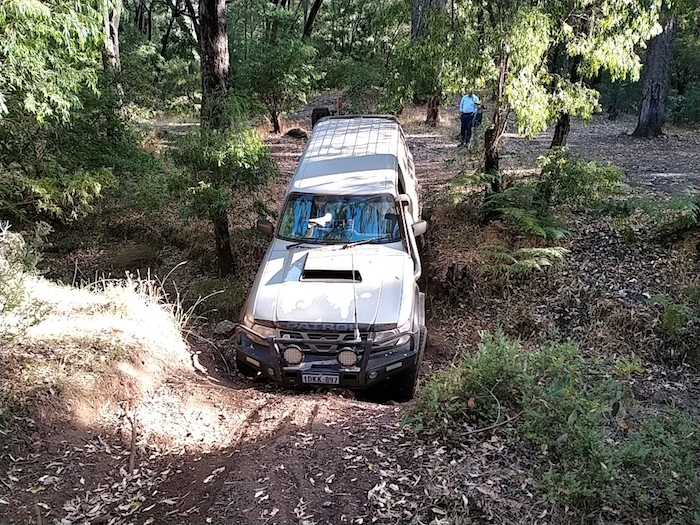
We headed south-east out of Nannup on an old stock route.
South-east of Nannup
-

- The track was a bit overgrown.
-

- Aaron looks for a way through.
-

- Aaron hit a cleared section of track.
-

- There is a track there some where.
-

- Following an old overgrown track.
-

- We decided it was too tight and made our way to more open roads.
Donnelly River
Near Donnelly River we were looking for a way south when our way was blocked by the most serious road block I have ever encountered.
-

- No mistaking the intention to block the track.
-

- Rocks blocking the track.
-

- Track closed.
The tracks we were wanting to follow to stay close to the Darling Scarp were all blocked or in DRAs (Disease Restricted Areas) so we had to veer further east towards Donnelly River.
We found a secluded campsite off Gordon Road.
-

- Camp Sunday night.
Monday 28 December 2020
The southward push continued. We determined to locate Greens Island Campground.
-

- Young karri trees (Eucalyptus diversicolor) with their distinctive understorey at our camp.
Greens Island is a large, open style DPaW Campground located on a bend in the Donnelly River that gives the impression that it is an island.
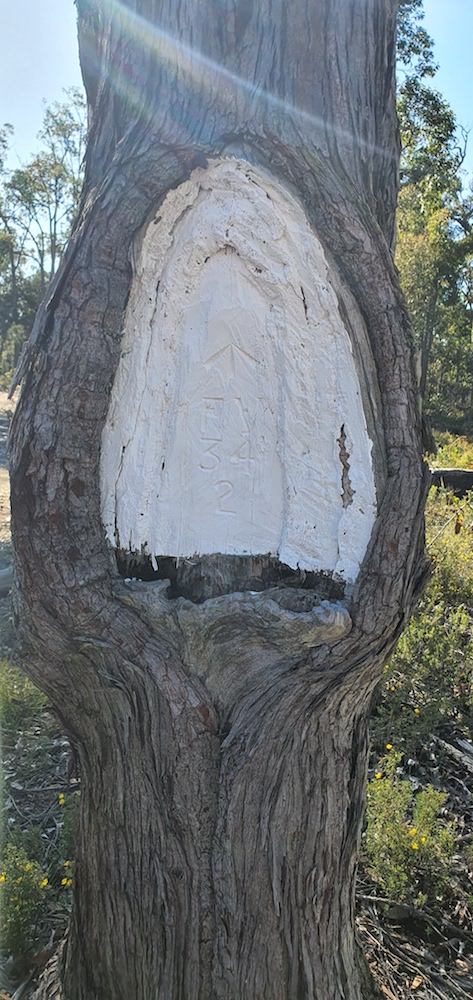
-

- These markers are seen throughout the forest and are used to indicate where hand distribution of 1080 baits (as opposed to aerial baiting) starts and stops.
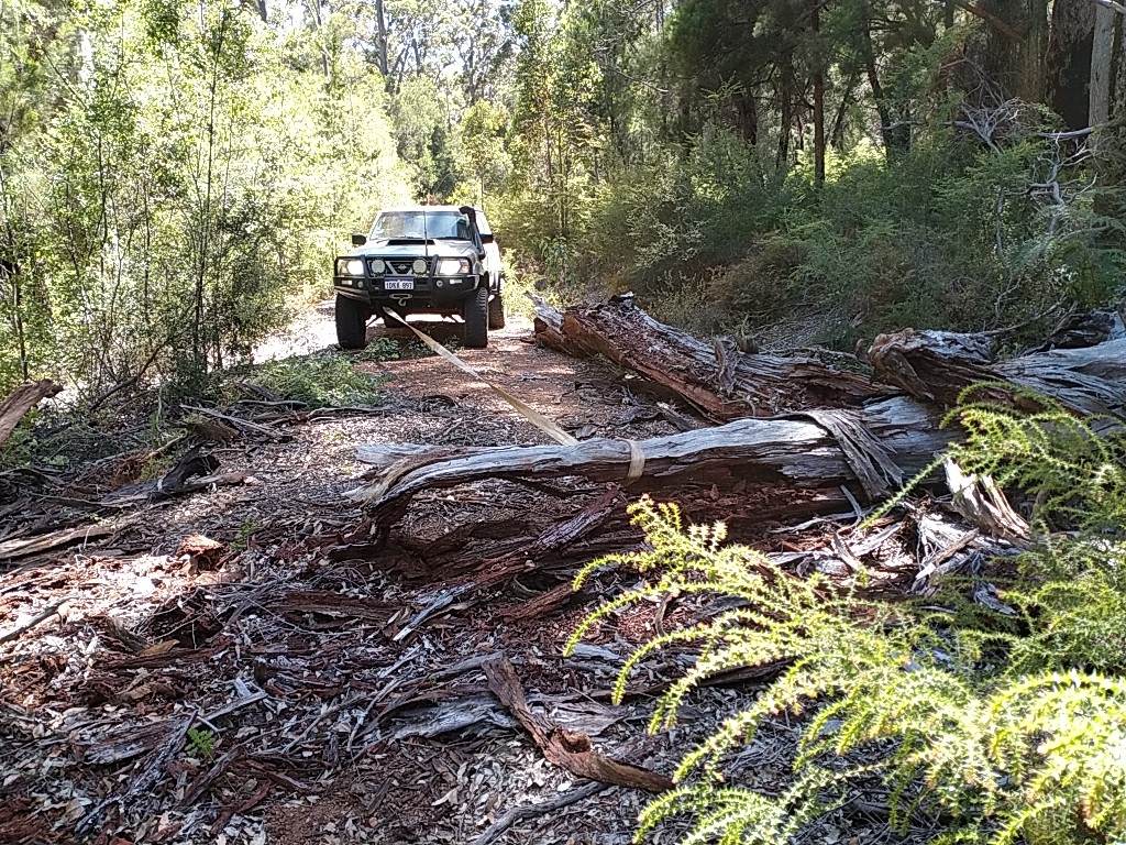
Palings Road
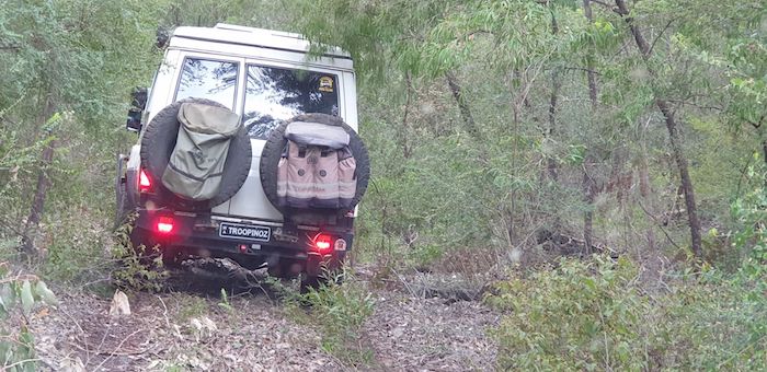
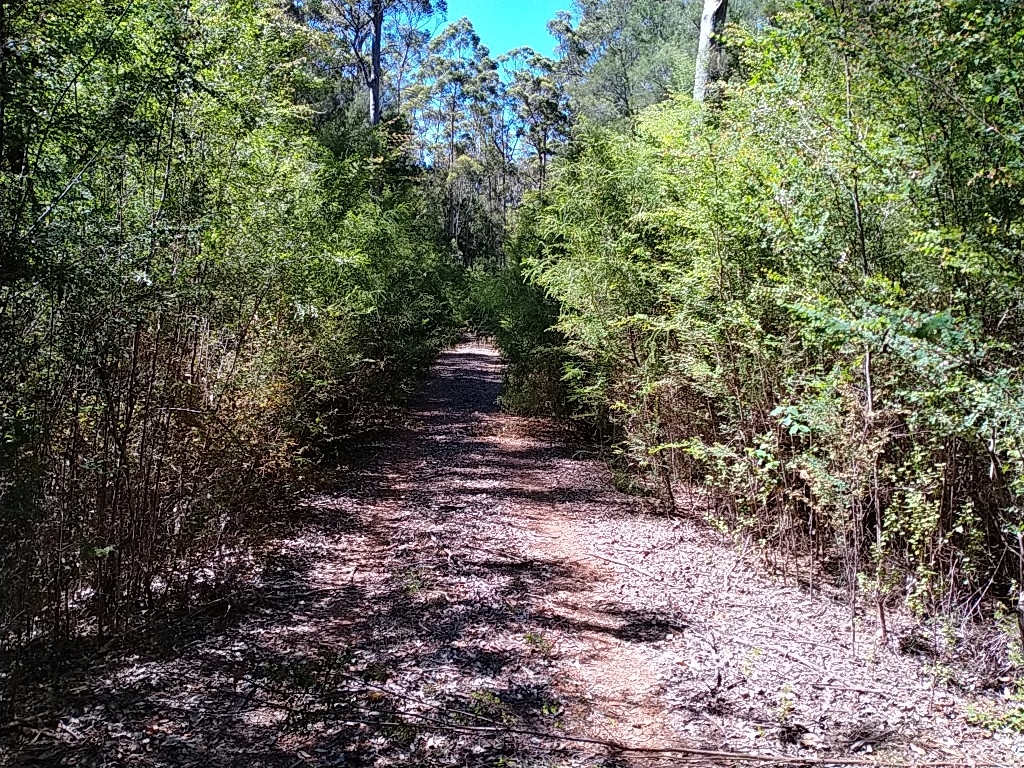
We crossed the Donnelly River on Palings Road and two kilometres further east turned south onto an overgrown track that at one time was a well used road. It was incongruous to see normal road signs hidden by vegetation overgrowth.
-

- It was a tight fit.
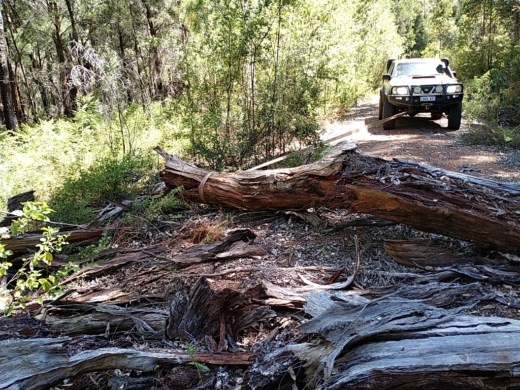
We were able to squeeze past the first log, however, the second completely blocked the track.
-

- Scott puts strap around log.
-

- Pulled the log off the track.
-

- Scott leveraged the log right off the track.
Our shortcut took us out to Waistcoat Road and, though our intended direction was to the right, we shot up the road to Palings Road to confirm that it intersected with Waistcoat, should future travellers on this Road Trip decide not to take this shortcut.
-

- Logging karri on Court Road.
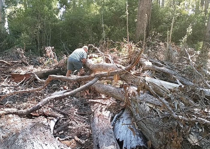
Duch Fonti Road
We turned off Court Road looking for some challenging tracks – and succeeded.
-
- Overgrown Duch Fonti Road.
-
- Scott moved the first log.
-
- And the second log.
-
- Aaron clears debris.
-

- The obstacle was removed with a handsaw.
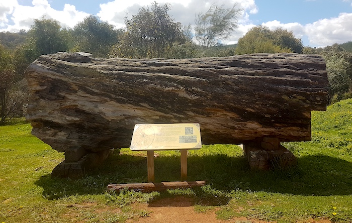
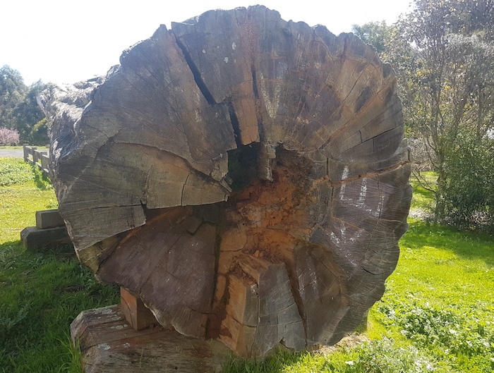
Karri Forest Explorer
However, it was not too far along the track before a large log, immovable with our resources, blocked our progress. We moved west to Chainman Road where we encountered numerous more obstacles before coming out onto Stony Crossing Road, part of the Karri Forest Explorer route.
-

- We followed the Karri Forest Explorer but in reverse.
-

- Big Karri

-

- Warren River cedar occurs in the south west corner of western Australia.
-

- Warren River cedar or juniper myrtle (Taxandria juniperina)
The Karri Forest Explorer route took us in to Pemberton. Refuel, revictual.
Gloucester Tree
After a coffee we headed out to the Gloucester Tree.
-

- Gloucester Tree
-

- Climbers
-

- Fire lookout at the top of the tree.
We wanted to find another track into Pemberton that connected with the Karri Forest Explorer at a different location to that which we connected earlier in the day, so we headed out on that Route – this time in the ‘normal’ direction. Where the Karri Forest Explorer turned left after Giblett picnic area we turned right on to Beedelup Road.
Beedelup Road
We were hoping that this open track would provide a ‘non-scratchy’ option for travellers on the Drive Darling Scarp Road Trip. All looked good for a kilometre or so at which point we came across a few small logs.
-

- Scott attaches strap to log at first obstacle.
-

- Log removed at first blockage.
A little bit further along two substantial logs blocked the track. They will be dealt with on a future Trip. We found where previous travellers had made a way round the obstacle and continued on – for 900 metres.
-
- Another serious entanglement blocking the track.
-

- After assessment we decided that we could pull it apart bit by bit.
-

- It looked worse than it was.
-

- Kept working away at it.
-

- Another log dragged away.
-

- Seven logs were dragged out of the entanglement and positioned on the edge of the track.
-

- The last log was pulled out of the way.
It took us an hour to clear a path through the log jam. We pushed on towards Willow Springs campground
Along the way we diverted down a track off Andrew Road that should have saved us a few kilometres, however, it was very overgrown and, ultimately, our forward progress was blocked at a bridge that had been modified so only bikes could get across. Back the way we had come. McNab Road took us to Austin Road (relief) which took us to Willow Springs, arriving about 6.00 p.m.
We spent the evening chatting with a couple of fellow travellers, one of whom was walking the Bibbulman Track.
Tuesday 29 December 2020
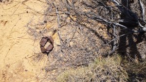
The intention was to find tracks that headed more directly back towards Nannup but all tracks off Austin Road were closed under DRA regulations.
-

- An historically significant site along Austin Road – believed to be the grave of a horse. The reference number on the marker relates to a database maintained by the Department of Parks and Wildlife.
We decided to head into Nannup, refuel, have a coffee and then follow the Blackwood River along Denny Road through to Warner Glen before heading to Margaret River.
Scott had to meet with Tony by about 1.00 p.m.
© Cockburn 4WD Club 2020 and Kim Epton
Feel free to use any part of this document but please do the right thing and give attribution. It will enhance the SEO of your website/blog and that of the Cockburn 4WD Club.
Text, layout and photographs by Kim Epton.
1725 words, 62 photographs.
See Terms of Use