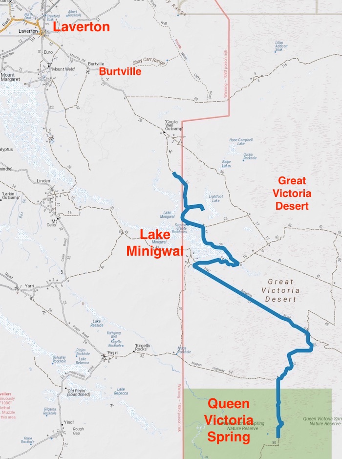
Day 6 – Great Victoria Desert to Leonora
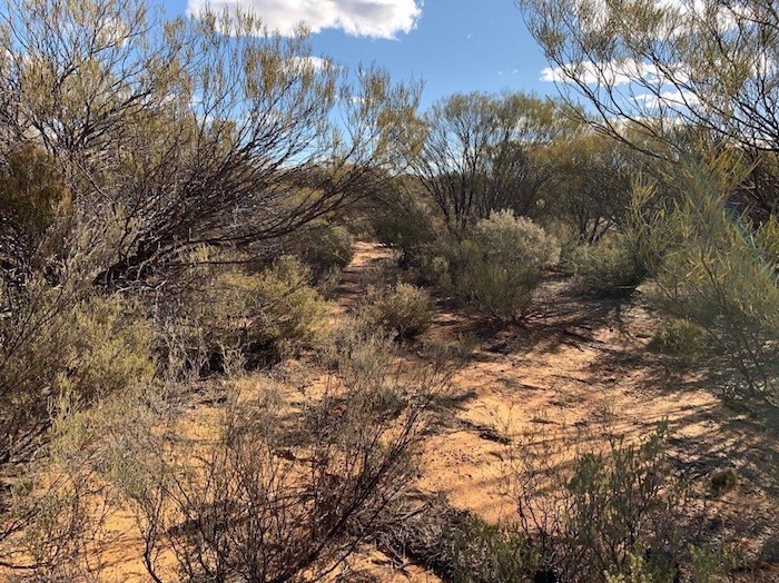
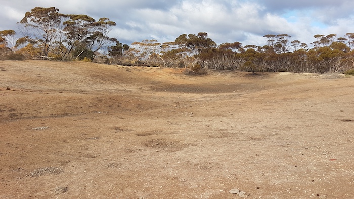
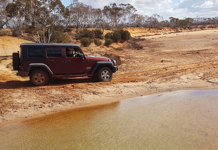
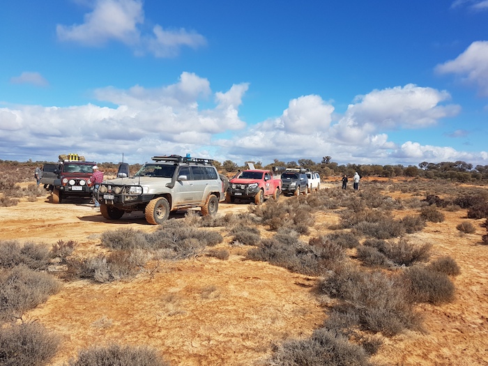
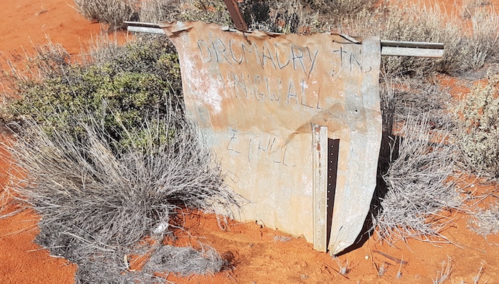
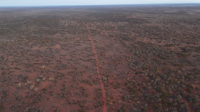
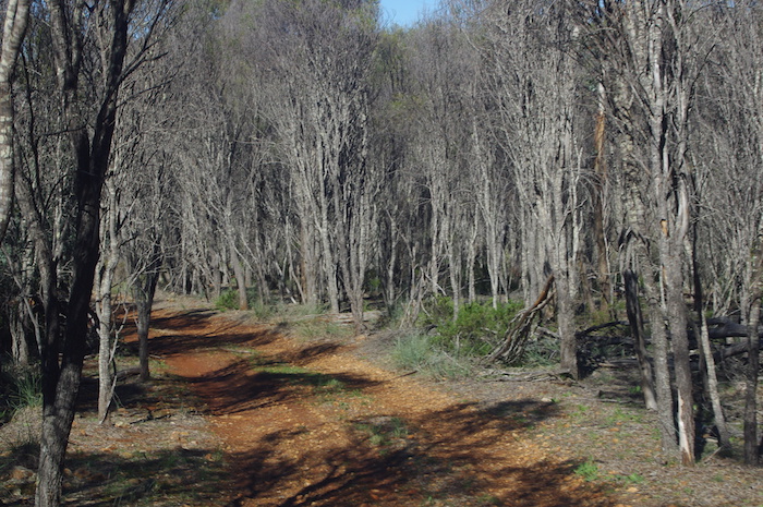
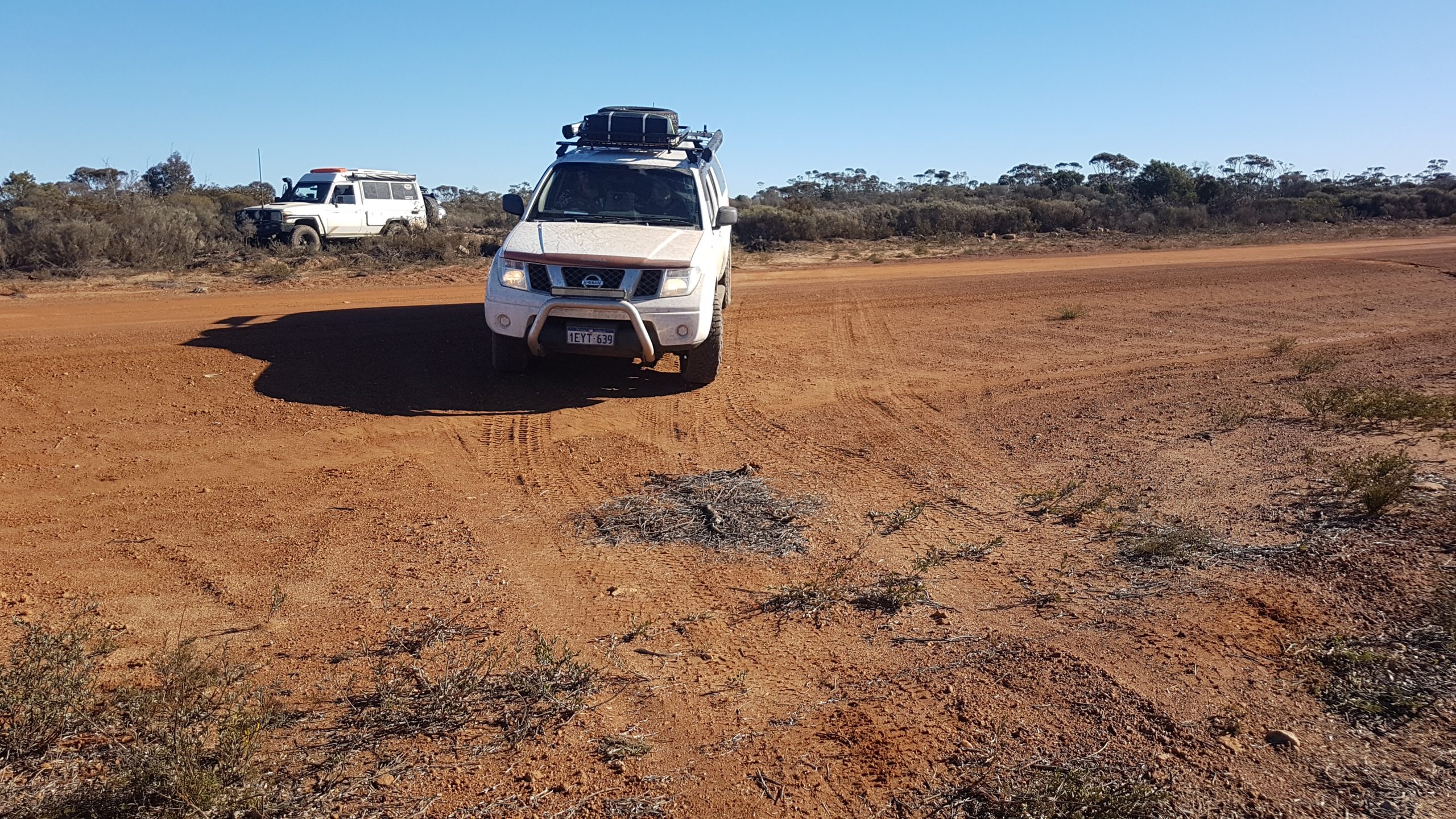
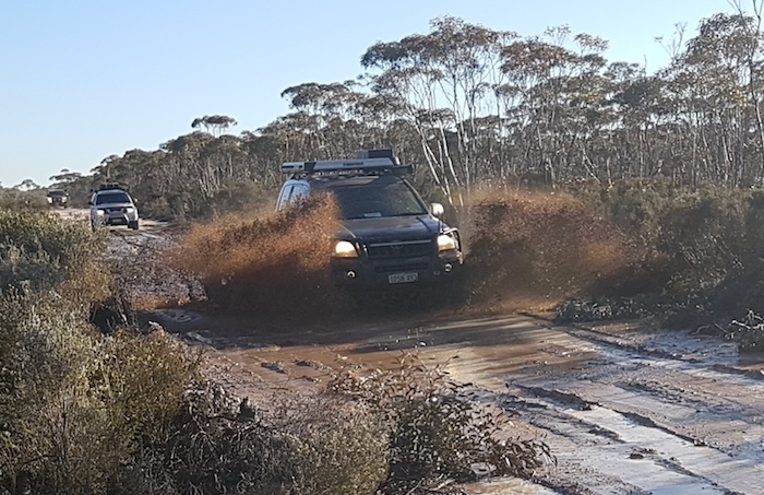
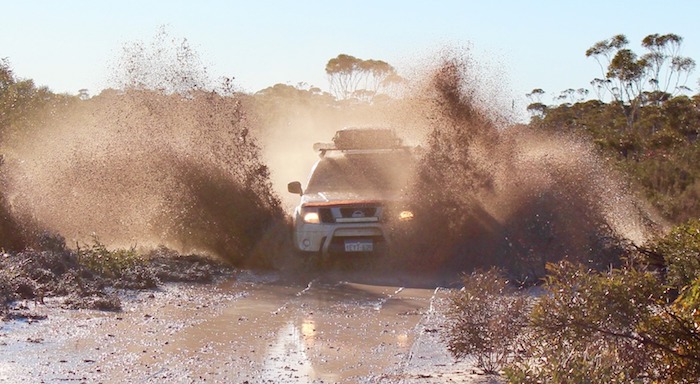
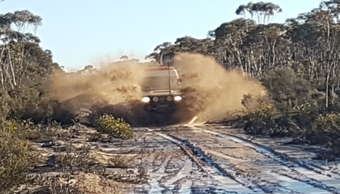
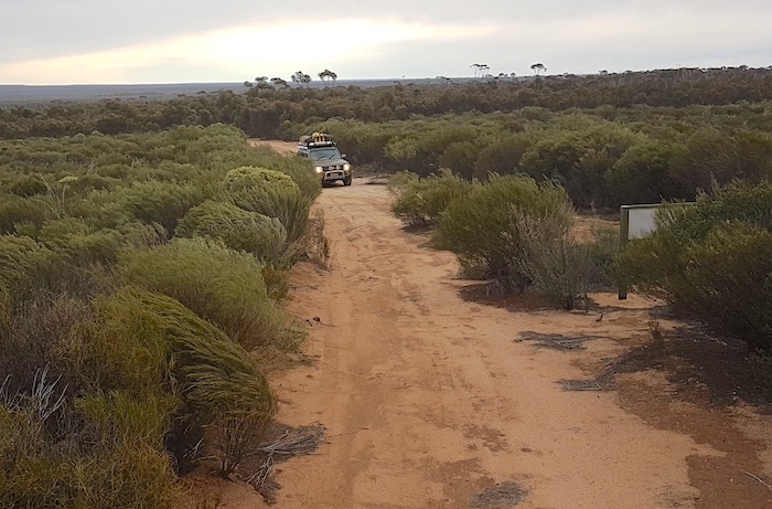
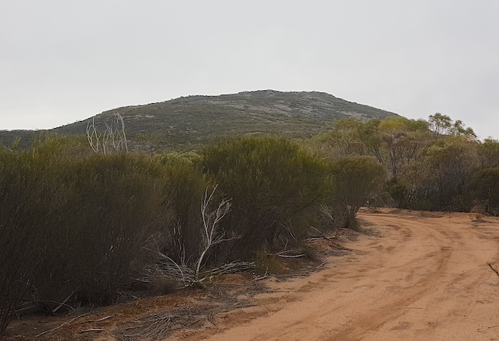
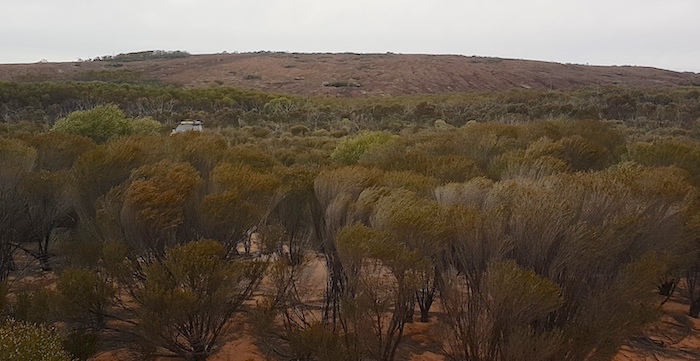
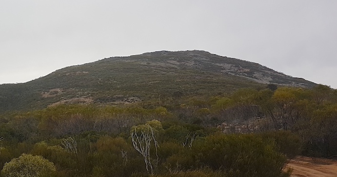
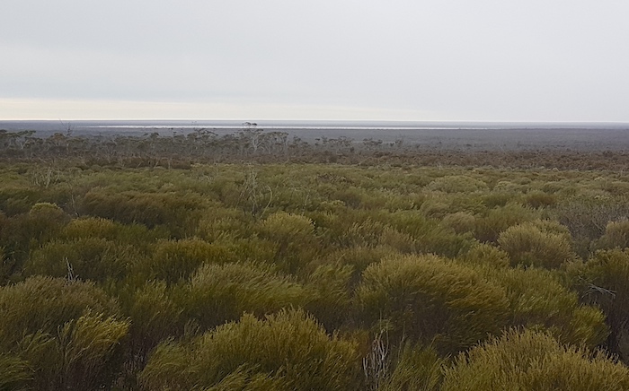
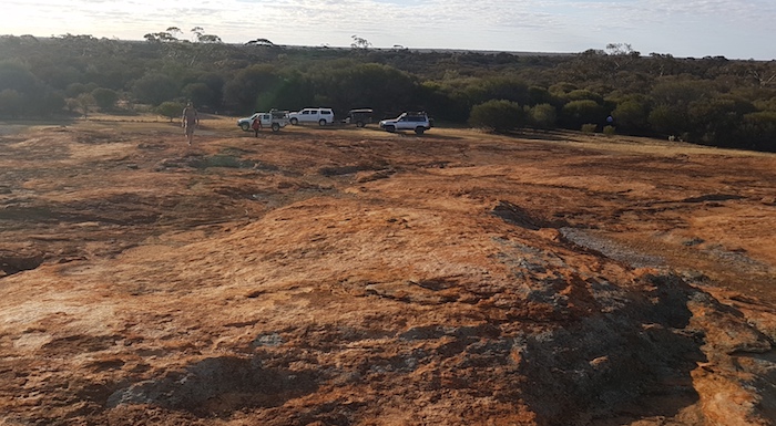
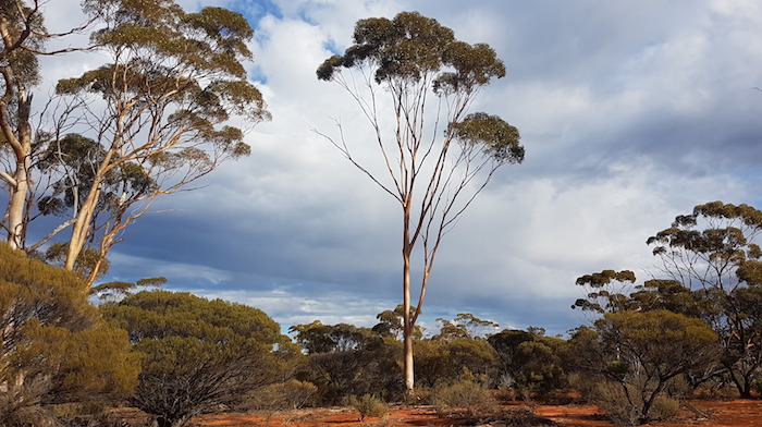
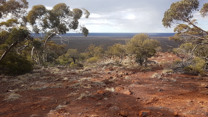
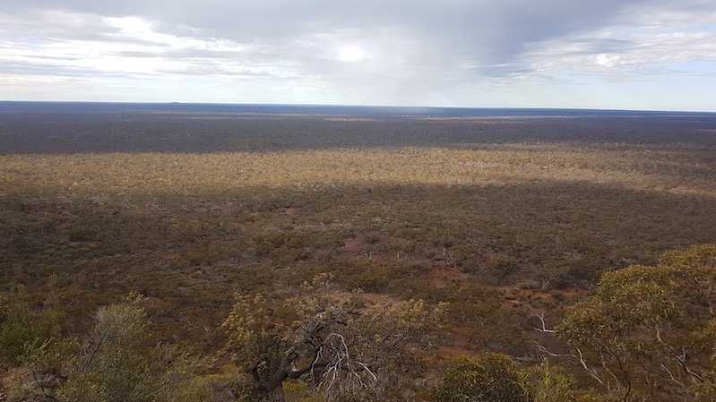
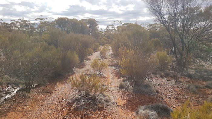
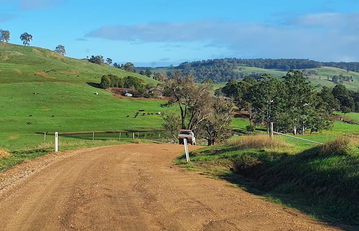
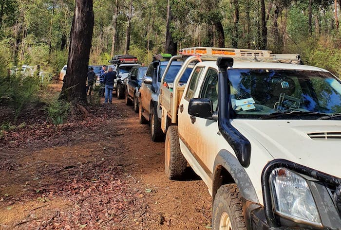
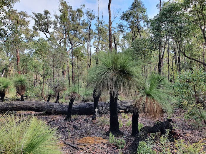
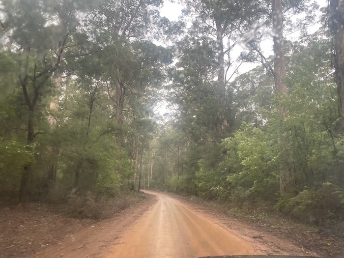
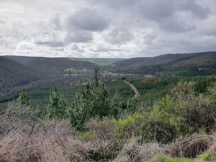
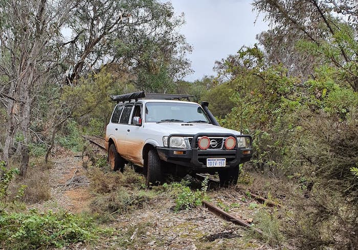
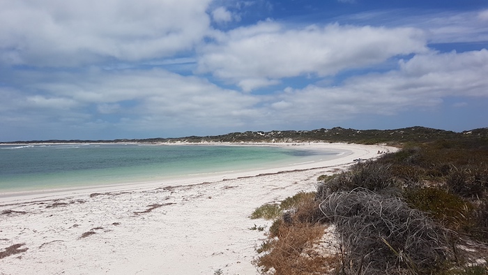
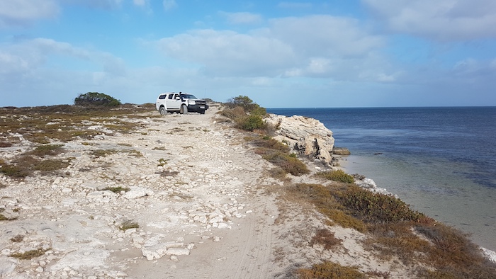
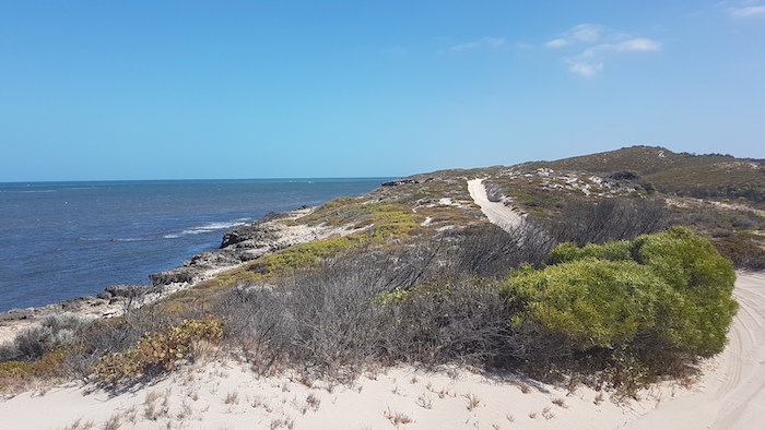
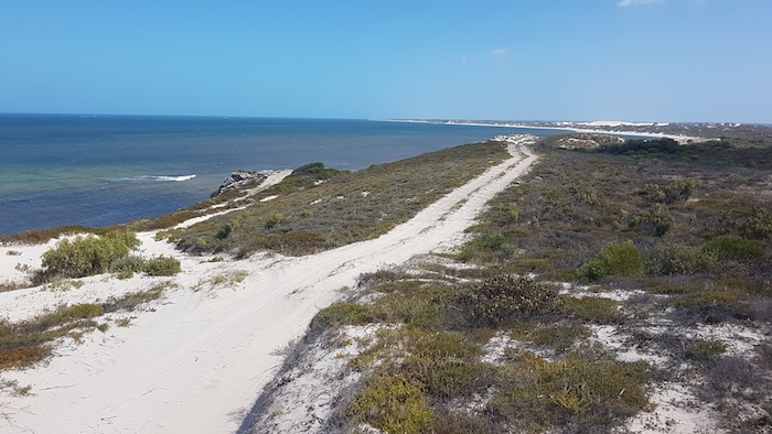
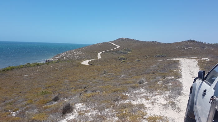
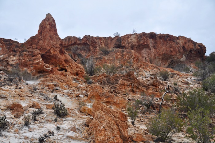
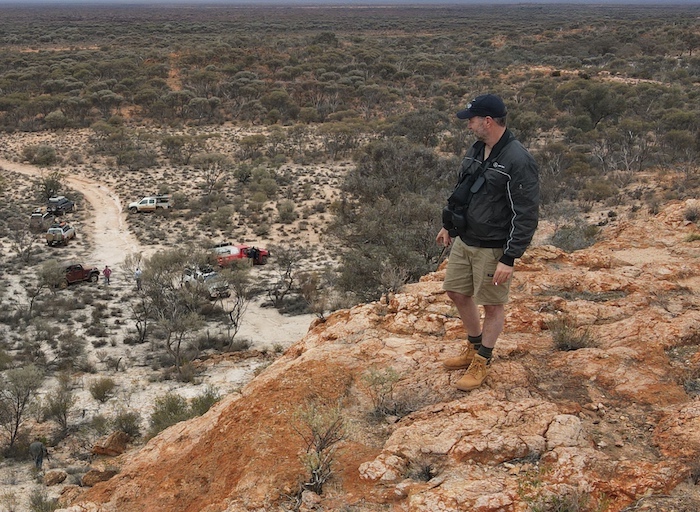
We left our camp at the top of Lake Minigwal heading out of the desert and towards Burtville. About 19 kilometres to the north we hit a wide, well maintained, 80 kph track. Clearly there is a mine nearby. As the road turned further to the north we turned off to the left into Mount Dennis. This is magnificent breakaway country.
-

-
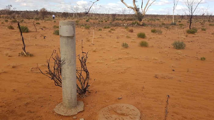
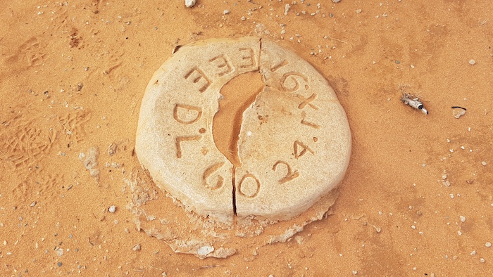
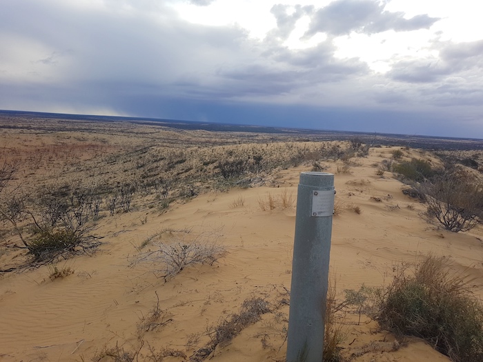
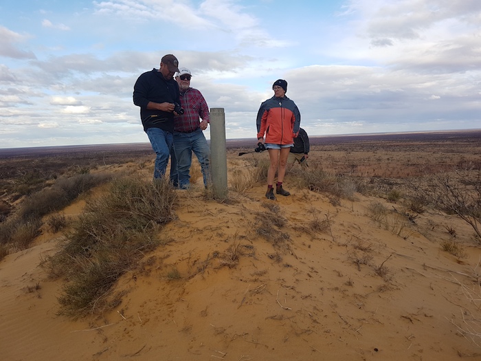
Mount Dennis
-

-
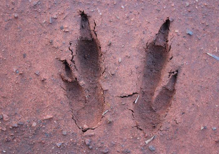
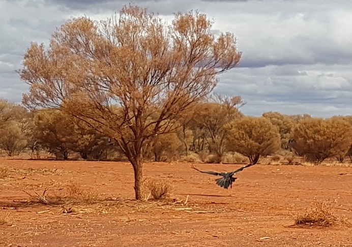
We disturbed a wedgie.
-
-
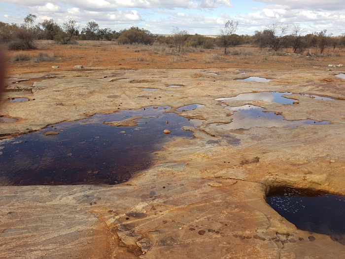
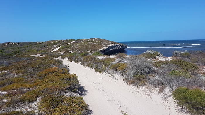
Mount Dennis breakaway
-
-
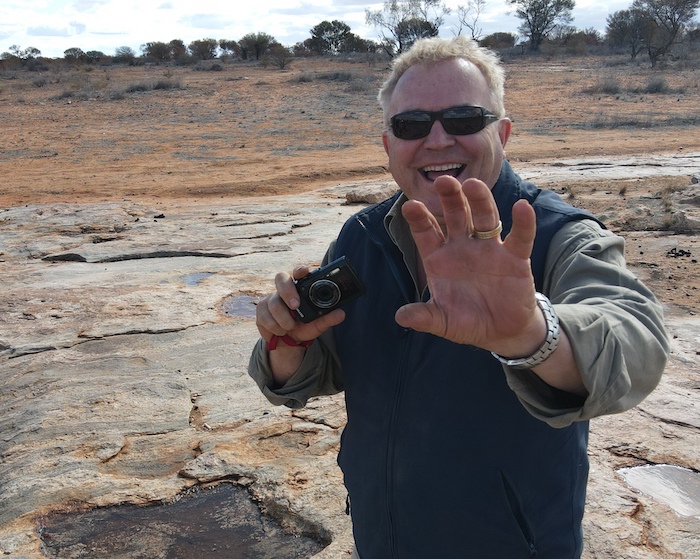
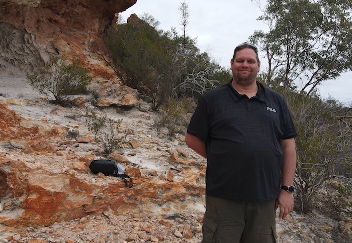
Mushy at Mt Dennis.
-
-
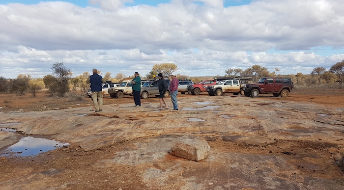
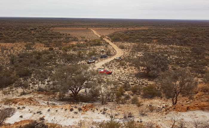
The carpark at Mount Dennis.
-

-
Magnificent breakaway.
-

-
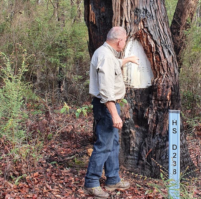
Paul a the overhang.
-
-
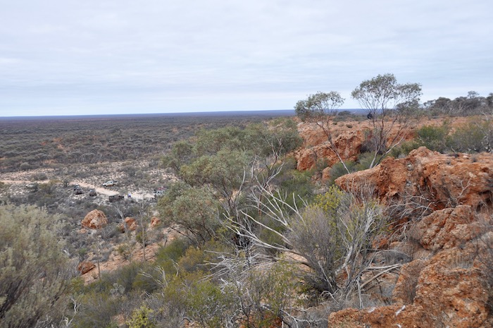
Along the ridge of the breakaway.
-
-
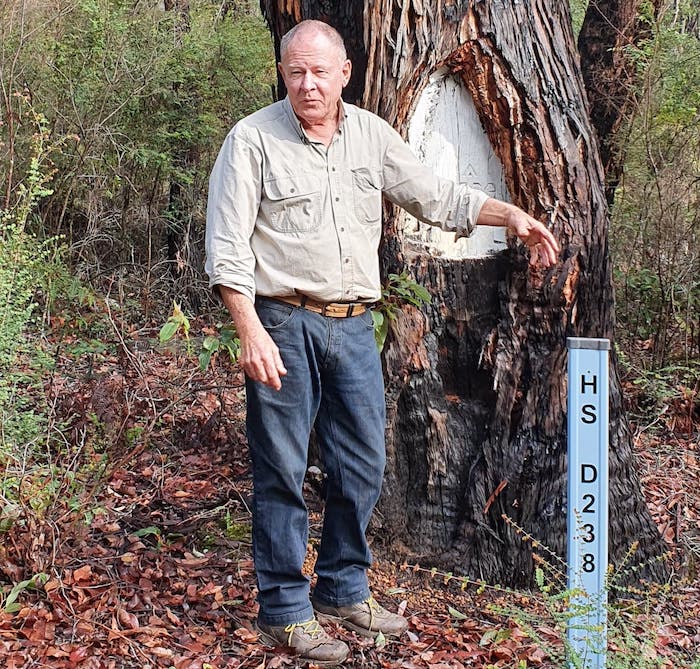
Paul at Mt Dennis.
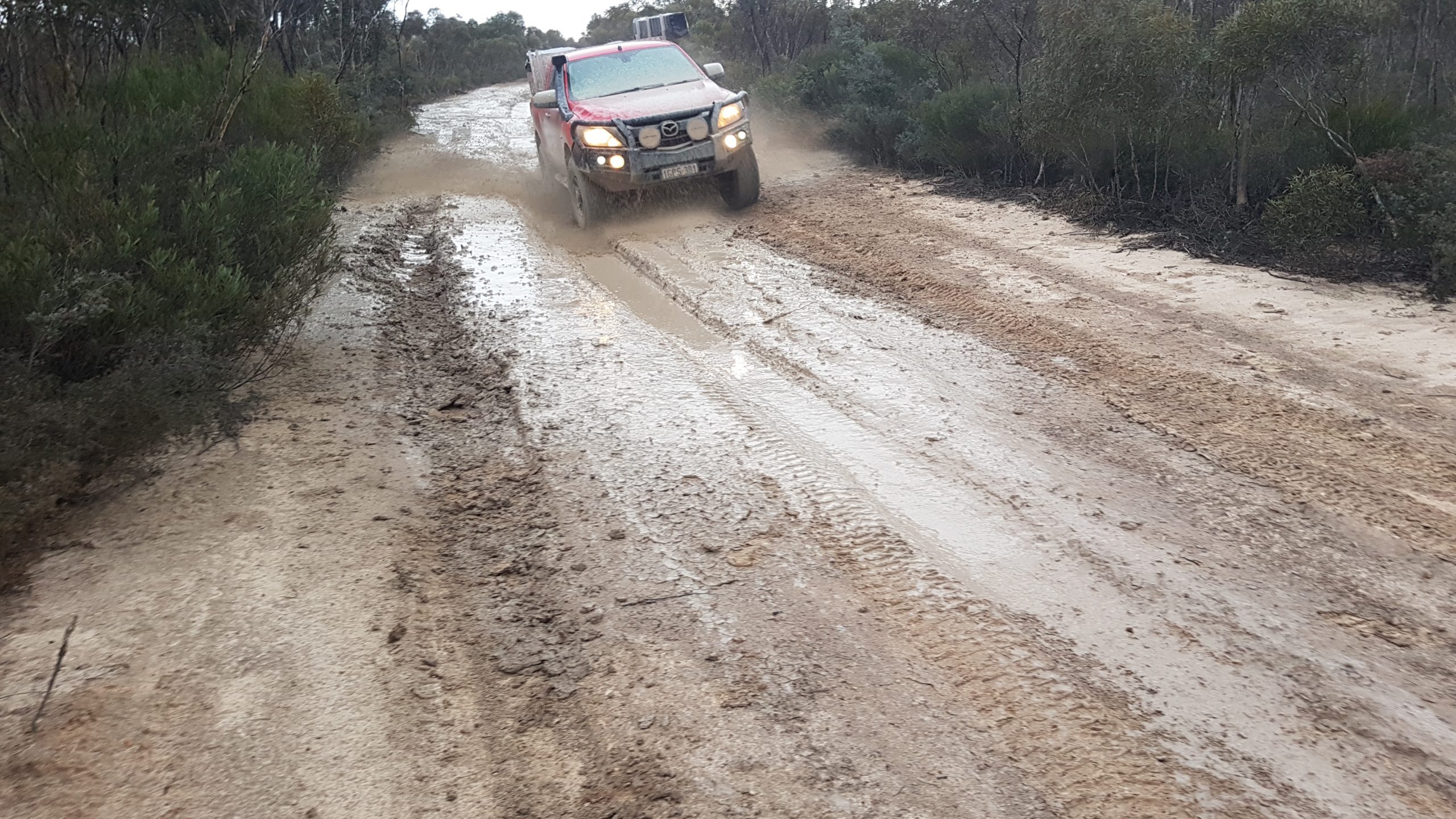
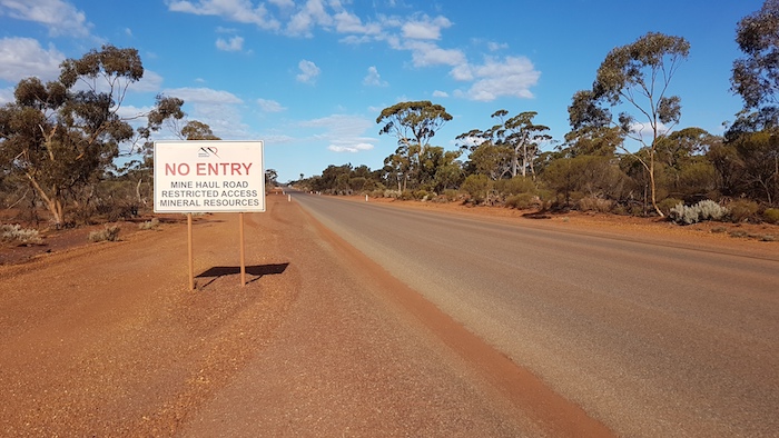
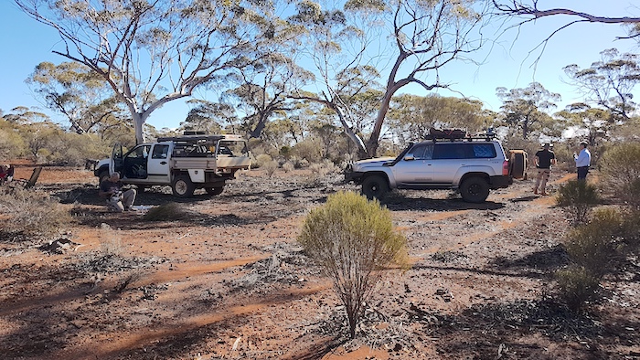
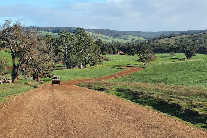
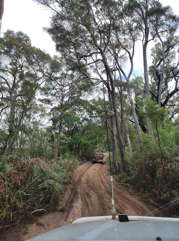
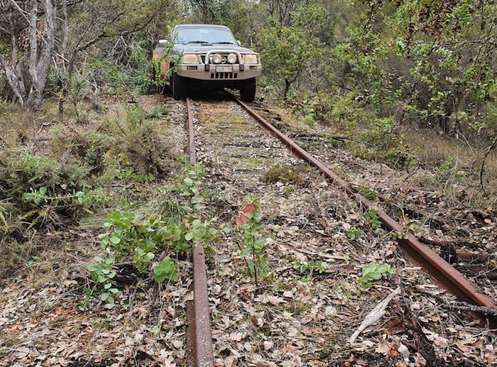
Leaving Mount Dennis we returned to the main road. Another two kilometres further on we came onto a haul road. While trying to locate the track into Friday Gnamma we interfaced with some of the locals.
-

-
A road train passed us on the haul road while we were looking for the access track to Friday Gnamma.
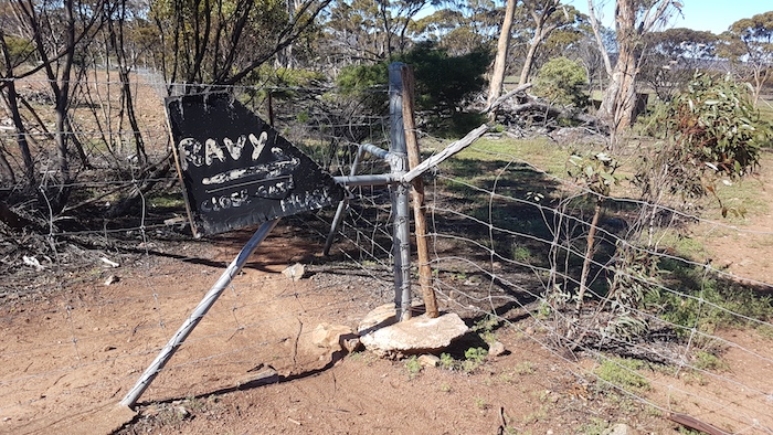
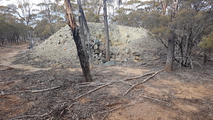
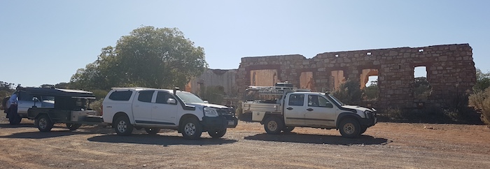
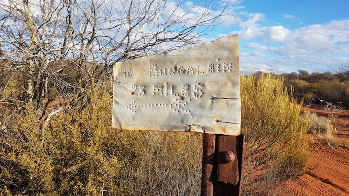
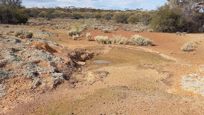
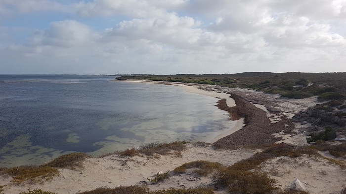
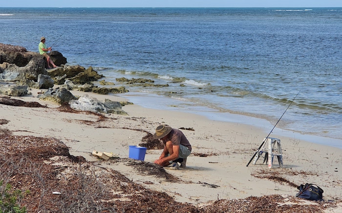
Friday Gnamma is just a kilometre further on from the haul road. Clearly important a century ago, or more, but underwhelming today.
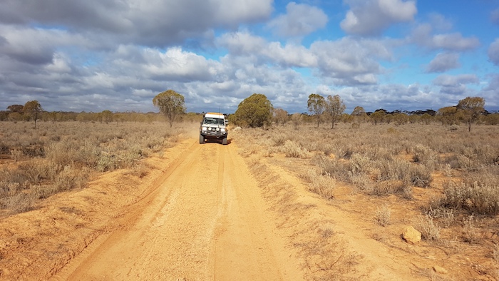
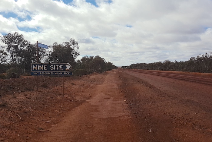
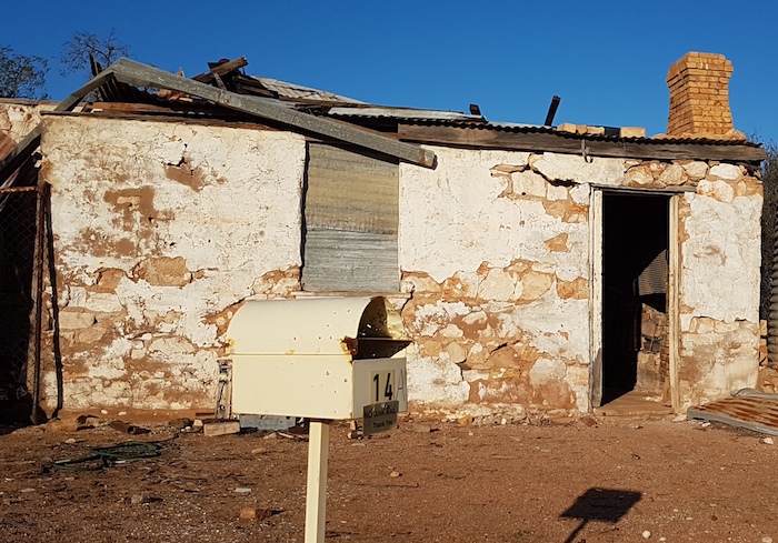
We pushed on to Burtville, 33 kilometres distant on a good dirt road. Many signs of mining activity.
Burtville
Prospectors Billy Frost and J. Tregurtha found gold here in 1897.
-

-
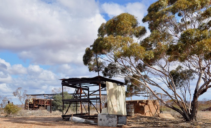
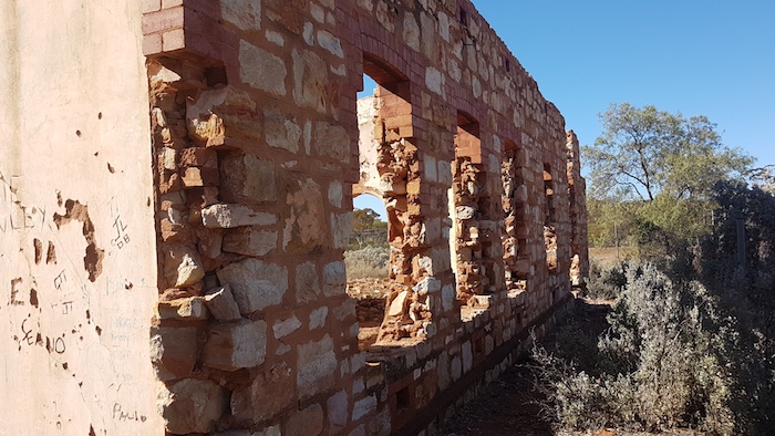
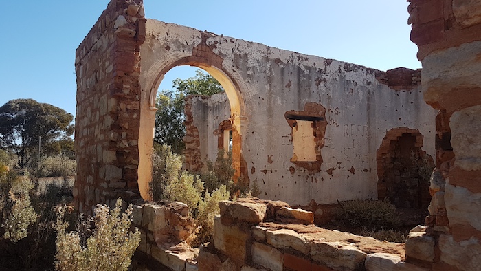
The only building left standing in Burtville.
In 1901 Surveyor J.H. Rowe recorded the aboriginal name for the district as Merolia and the settlement was shown on early maps and gazetted as such in 1902. However, the original residents determined upon calling the place Burtville in compliment to the Warden of the Mount Margaret Goldfield, then Alfred Earle Burt (1852-1945), a son of Sir Archibald Burt, first Chief Justice of the WA Supreme Court. The town was regazetted as Burtville later in 1902.
-

-
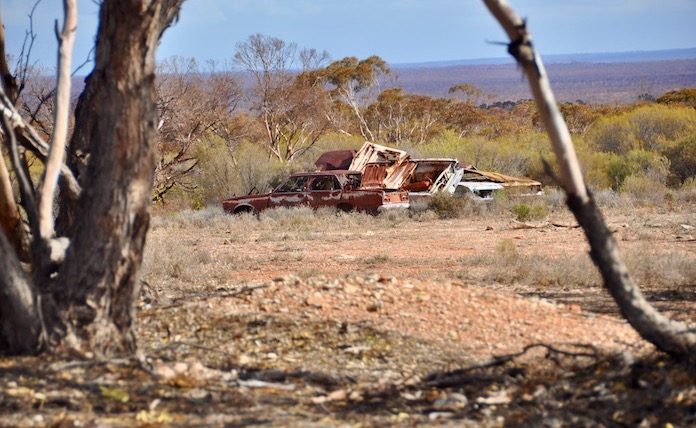
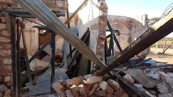
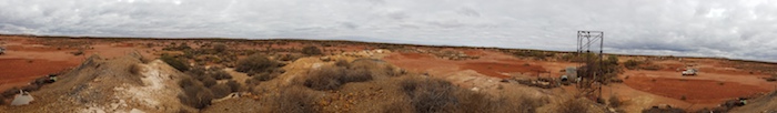
Most likely in realisation that a curious public could not be effectively excluded from such an extensive and interesting area, the current tenement holders have cleaned up the old townsite. Rubbish has been bulldozed into heaps and the entire area scarified.
-
At its peak in 1903 the population exceeded 400 but by 1916 it had reduced to 45.
-

-
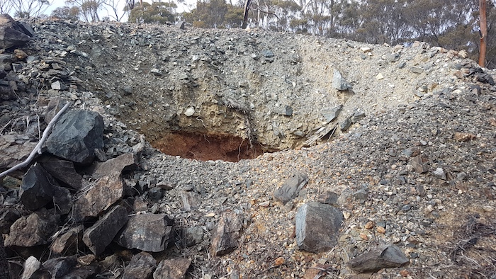
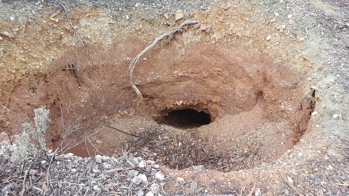
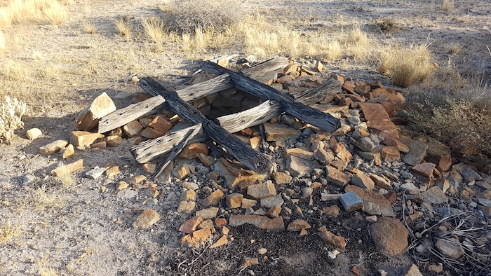
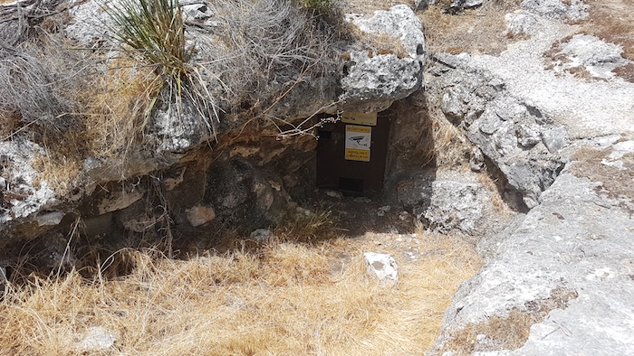
The timber-lined shaft is of better construction than most than are seen on the ‘fields.It is in remarkably good condition.
-

-

-
Burtville relic.
-

-
Another timber lined shaft.
-

-
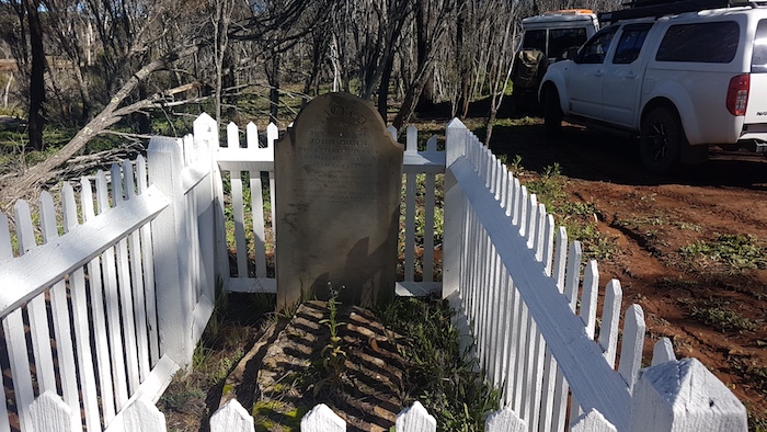
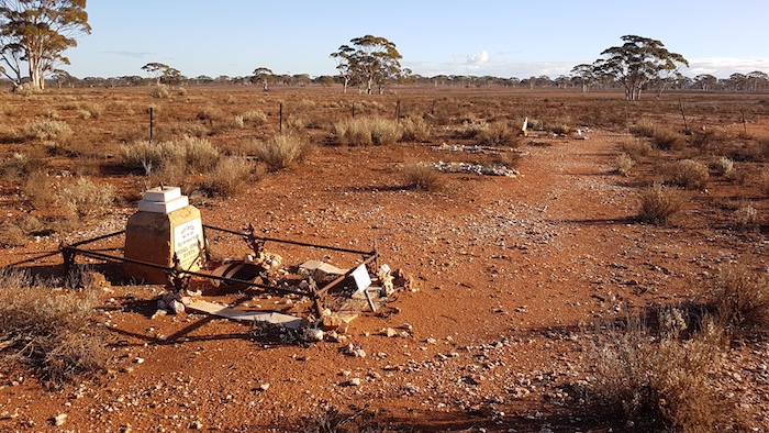
Grave at Burtville Cemetery
-

-
Burtville Cemetery.
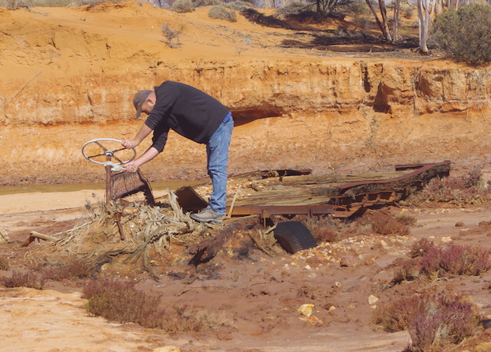
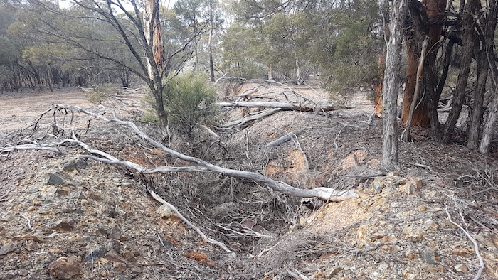
We spent some time poking around Burtville, looking at relicts, the cemetery and old shafts. It has been cleaned up and made safe. In the process a lot of history was destroyed.
Our desert interlude was coming to an end. Laverton was looming.
-
-
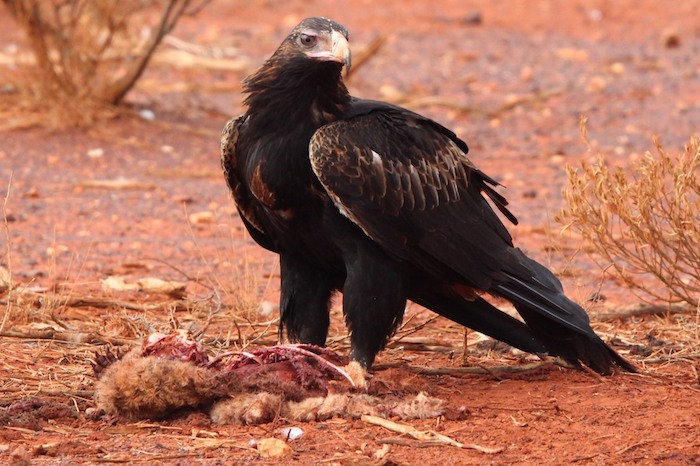
Wedgetail Eagle with kill.
-
-
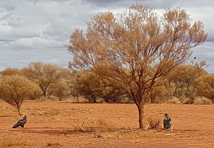
A pair of wedgetail eagles at Craiggiemore on the Merolia Road four kilometres south-east of Laverton.
-
-
Disturbed by our attention.
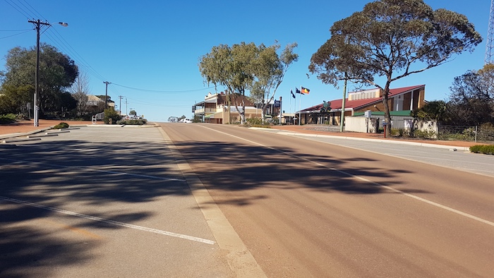
Laverton
After a few days out of contact our arrival at Laverton was an opportunity to catch up on a business, work, family and friends. Difficult to get totally away.
McOmish and Potts discovered gold here in 1896 and took their samples to Dr Charles Laver in Coolgardie. Laver established the British Flag Mine at the strike.
Surveyor J.H. Rowe noted:
“natives call this place ‘Buckanoo’. The residents seem unanimous in wishing the proposed T/S to be called ‘Laverton’.” (FB 23 p9).
-

-
The old Coach House at Laverton.
Laver held mining leases in his right in the vicinity. He was a firm believer in the value of the large lode formations that were being worked at the British Flag. It was reported that “he had great faith in the district and was untiring in his efforts to attract the attention of capitalists to its mines”.
-

-
Dr Charles Laver moved around the district on his bicycle.
-
-
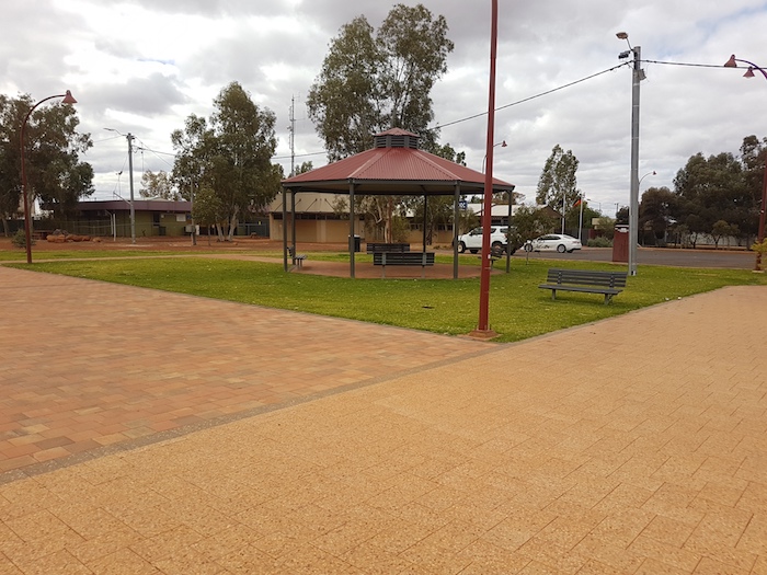
Rotunda at Laverton.
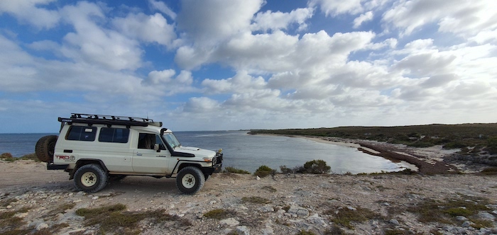
We were well ahead of where we expected to be at this time so we decided to check out Windarra, to the north of Laverton.
Windara
Windarra was the centre of the world famous 1960s nickel boom.
-

-
Windarra has been abandoned.
We drove to the Lookout and then walked a short distance to the top of the hill.
-

-
Atop Mt Windarra.
After leaving Windarra we picked up our original Route and headed to historic Mt Morgans.
Mount Morgans
Gold was discovered here in 1896 by Lilley and party, and their lease was later taken over by E.A. Morgans who became the Member for Coolgardie and later Premier of Western Australia.
The Westralia Mt Morgans mine was developed and in 1899 the Warden for the area requested a townsite be surveyed and declared at Mount Morgans.
-

-
What was once the Mount Morgan Municipal Chambers is now a museum.
The man after whom the area was named, Alfred Edward Morgans (1850-1933), was born in Wales, educated in England and came to Western Australia in 1896 as a representative of Morgans’ Syndicate Ltd. He was regarded as ‘the doyen of mining magnates’, and was elected as the MLA for Coolgardie in 1897. He became Premier on 21 November 1901 but when three of his Ministers failed to get re-elected he was defeated in the Legislative Assembly on 23 December 1901. This is the shortest term of any Western Australian government.
-

-
Aaron at the remains of the Mount Morgans railway station.
Until 1952 328,000 ounces of gold at 15 g/t were produced. The mine had a second period of activity from 1988 to 1997, producing 917,000 ounces at 3.2 g/t from open pit operations.
The mine then had five different owners before being taken over by Dacian Gold in 2012. It is developing into one of the largest underground gold mines in Australia and is expected to produce until 2028.
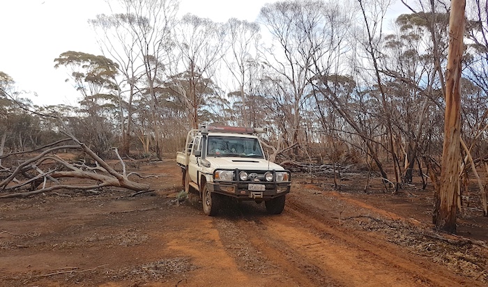
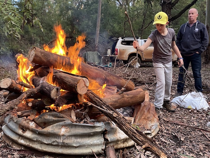
Leaving Mt Morgans we took the old dirt road that parallels the sealed Laverton-Leonora Road. Knowing that we needed firewood at Leonora, we stopped along the way.
-
-
Abandoned Malcolm Railway.
Leonora Caravan Park was full – mainly prospectors but also a few travellers/tourists like us. It was fortunate that Tokhy has made reservations earlier in the day. Showers, pub grub, and fuel were all on the list of ‘to dos’.
The townsite was named after nearby Mount Leonora, which was named by explorer John Forrest in 1869 during his expedition to look for lost explorer Ludwig Leichhardt. Forrest named Mount Leonora after a friend, Phylis Leonora Hardey, daughter of John Wall Hardey of Grove Farm, Swan River.
Gold was discovered in the Leonora district in 1894 by a prospector named Morrissey and there were then further rich finds in 1895/96 by W. Booden and Edward ‘Doodah’ Sullivan at the Johannesburg lease just north of the current townsite. In the following two years a number of rich finds resulted in rapid development and drew attention to the area.
Day 7 Leonora to Niagara Dam
-

-
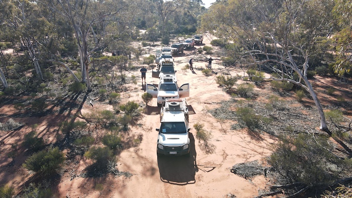
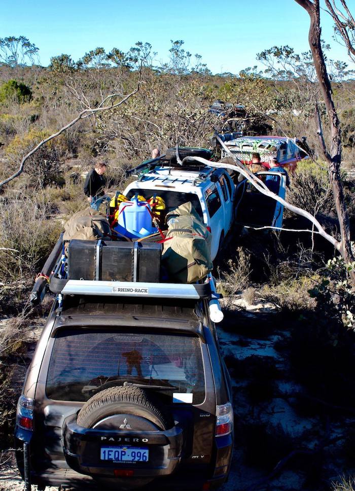
Preparing for the road trip to Leinster.
We headed north along the Goldfields Highway to Leinster, checking out numerous pioneer wells and landing strips along the way.
-

-
An un-named well near Possie Well, north of Leonora.
While looking for Kent Well we found a quarry, probably still used for road base.
-

-
Quarry used for road base.
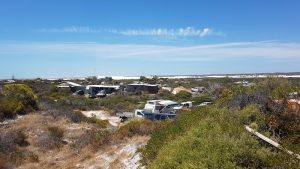
Leinster
Leinster is an ‘oasis in the desert’ Built in 1976, it is a ‘closed town’ — home to around 500 permanent residents, all employees or contractors of BHP. It was an ideal place to stop for lunch before heading on to Agnew.
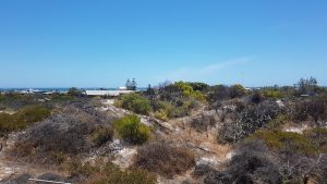
Agnew
Agnew, 21 kilometres south-west of Leinster, is a ghost town.
-

-
Disused battery at Agnew.
-

-
Poppet head at Agnew.
-

-
Ray at Agnew.
South African based Gold Fields has underground operations at Agnew and nearby Lawlers. The 650-strong workforce lives off site and commutes to site from Perth (and elsewhere) on a fly-in/fly-out roster, being accommodated at Agnew Village.
-

-
The Agnew Hybrid Renewable Project is Australia’s largest hybrid renewable energy microgrid and the first to utilise wind generation at a mine site.
Lawlers
Lawlers is another ghost town with the only part of the original town still standing being the old police station.
South African based Gold Fields operates the Lawlers mine in conjunction with its Waroonga Underground operation at Agnew, making the combined mines very low cost operations. The workforce at Lawlers is FIFO and separate from Agnew.
After a quick look around we continued on our way back to Leonora.
-

-
Despite the name it was a popular stopping place for Afghan cameleers.
Most crews made a quick refuel and resupply at Leonora before visiting the ‘living ghost town’ that is Gwalia, three kilometres to the south.
Gwalia
Our late arrival (15 minutes before closing time) precluded a tour of the museum at Gwalia. Fortunately there is plenty else to see at the Historic Precinct.
-

-
Gwalia open cut mine.
The richness of the Gwalia and Sons of Gwalia mines brought Leonora to the attention of the world towards the end of the 19th century. By 1902 Leonora and Gwalia were connected by a steam tramway.
-

-
The magnificent State Hotel is deteriorating.
-

-
Display of rego plates.
-

-
Seen better days.
-

-
Typical goldfields house.
-

-
Neatly maintained and well-restored house at Gwalia.
-

-
In the Gwalia Historic Ptecinct.
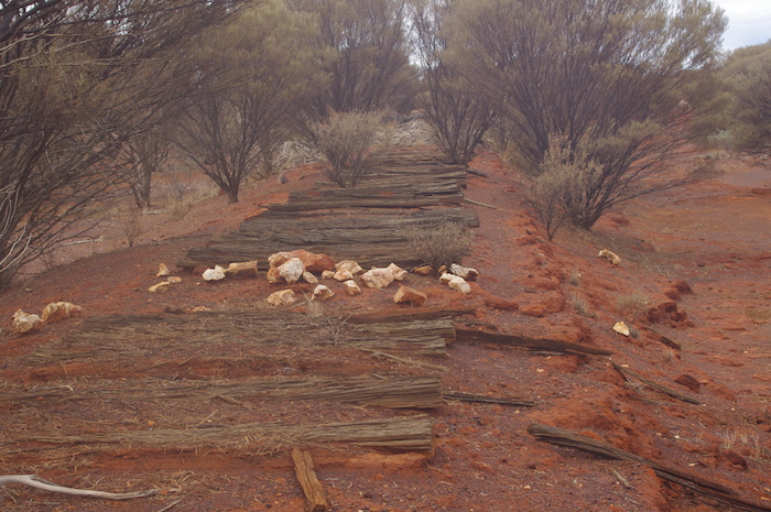
We weren’t able to dally at Gwalia if we were to reach our planned overnight stop at Niagara Dam. Our route was initially south on the Goldfields Highway for 16 kilometres. We turned towards Melita and followed the railway along the Malcolm Road to Kookynie. An interesting drive with some unusual road construction techniques.
Kookynie
-

-
The horse likes beer and its antics to get inside for a drink has made it synonymous with the Kookynie Pub. In reality it is just a cranky old nag that bites and kicks.
-

-
The long shadows show that it was late when we arrived and we still had to find a campsite at Niagara Dam, 11 kilometres distant.
-

-
Inside the historic Kookynie Pub. It has been in continuous operation for well over a hundred years.
A drink at the Kookynie Pub seemed to be an outback custom, the expected thing, de rigueur, almost a right of passage – and we did not fight tradition, mine host, or the horse at the front door.
But the sun was dipping below the horizon and we needed to head off to Niagara so there was time for only one.
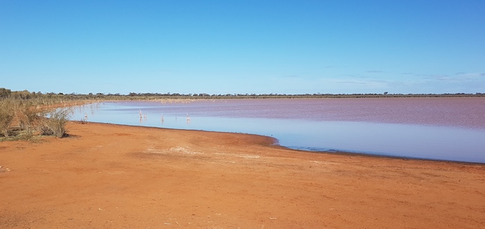
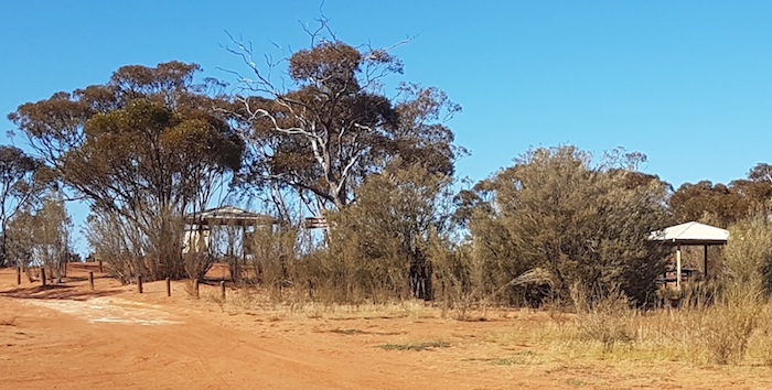
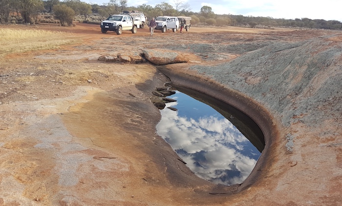
Niagara Dam
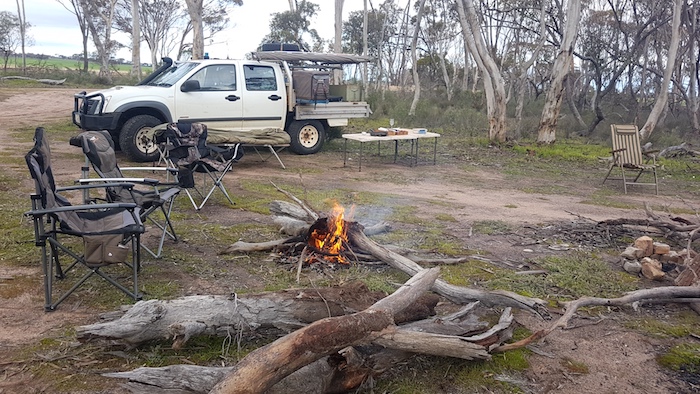
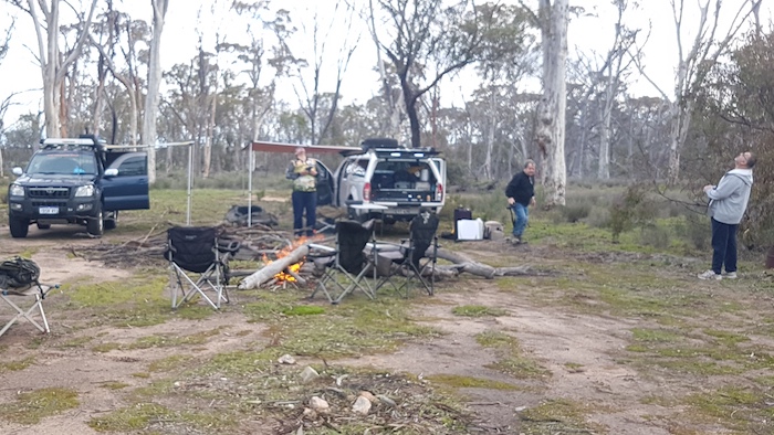
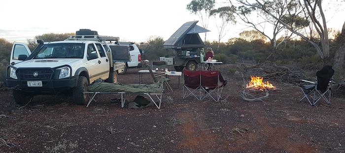
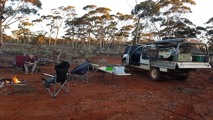
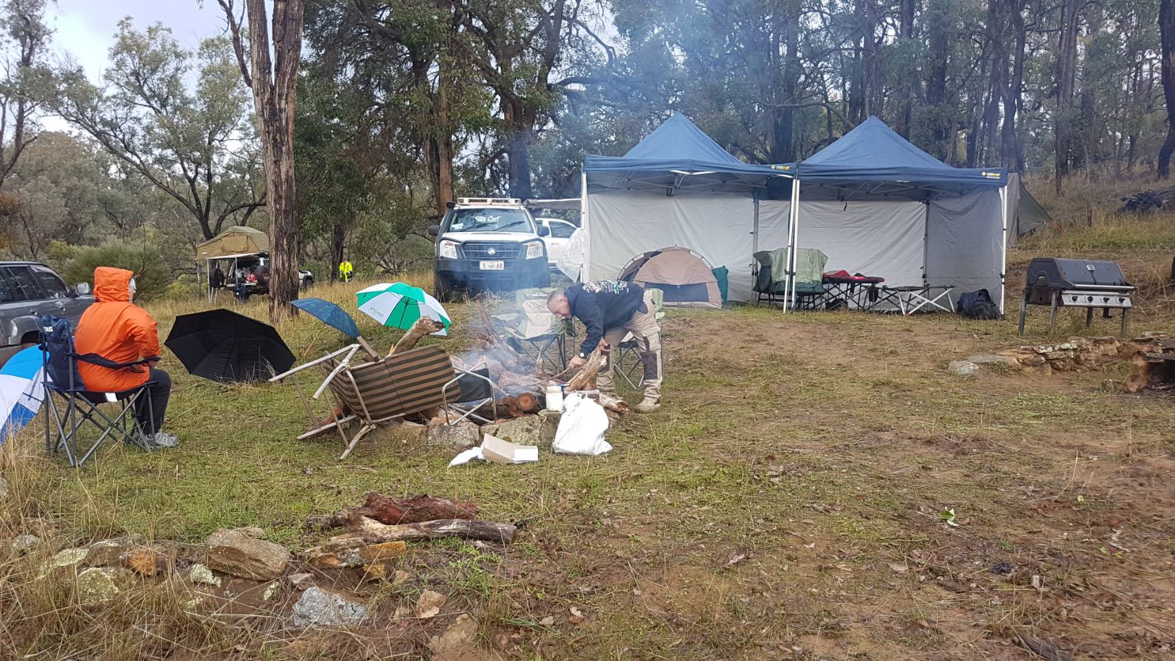
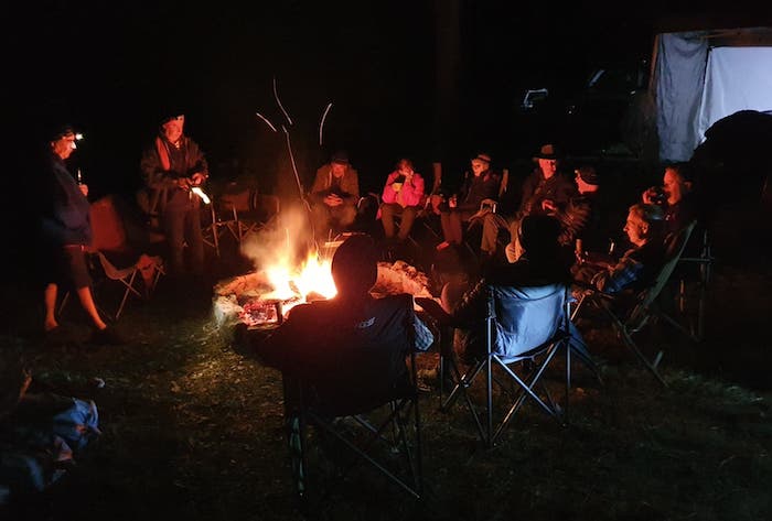
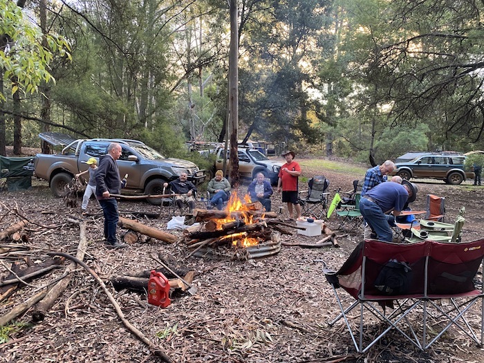
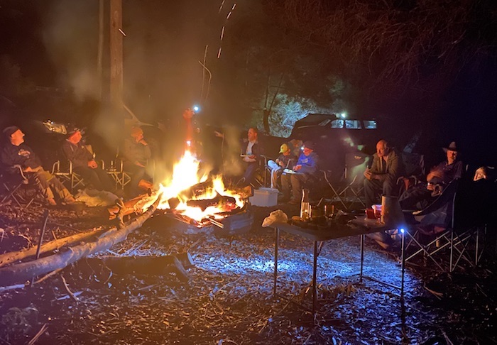
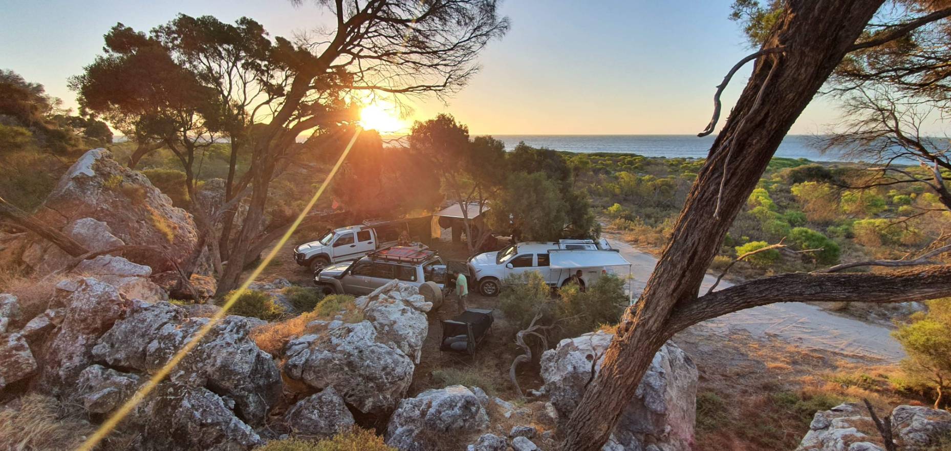
On arrival the campsite was self selecting – being the only spot vacant that was big enough for our group. The signs that warn there is no firewood at Niagara Dam are entirely accurate. We searched a few kilometres away and returned with enough for our normal bonfire.
Day 8 Niagara Dam to Gus Luck Track
-

-
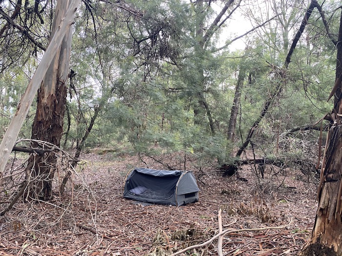
Our campsite at Niagara Dam.
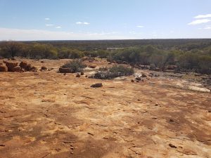
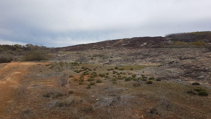
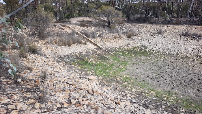
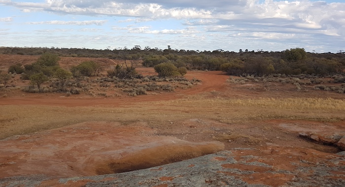
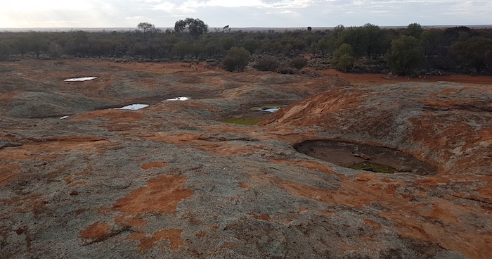
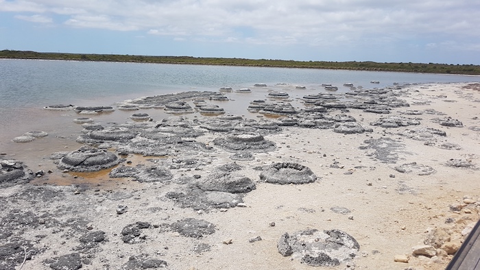
The 1600 metre track, and accompanying information signs, at Niagara through the breakaways and to the dam is interesting and informative.
-

-
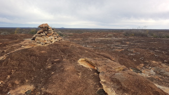
Breakaways at Niagara.
-

-
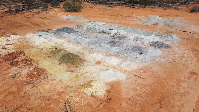
Any colony unique to Niagara.
-

-
Breakaways at Niagara.
-

-
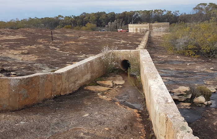
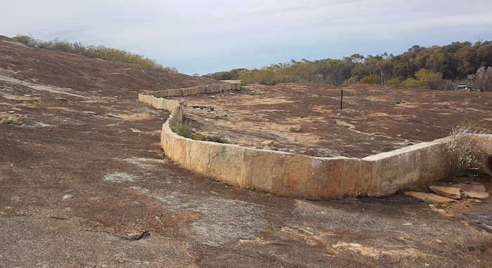
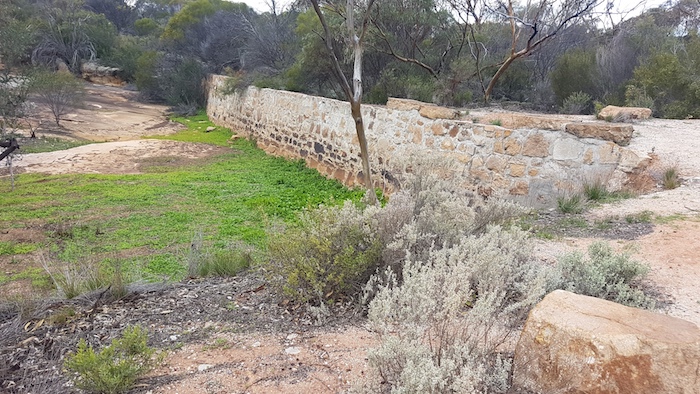
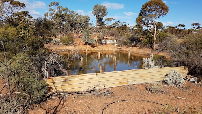
The wall at Niagara.
-

-
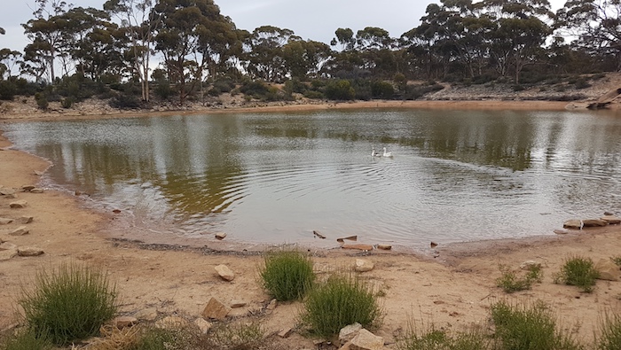
Niagara Dam would hold a large quantity of water, by goldfields standards.
-

-
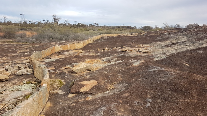
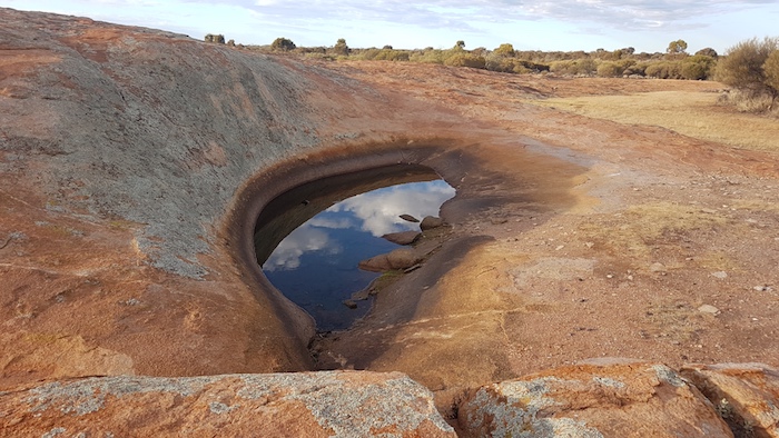
Seepage through the dam keeps this area green.
Although ironically named after the much more famous overseas falls, Niagara was a big drop for this part of the world. The falls operated only after heavy rain and flowed for only a short time. Not long before construction of the dam was completed, a good quality, underground water supply was found in Kookynie, making Niagara Dam somewhat of a ‘white elephant’.
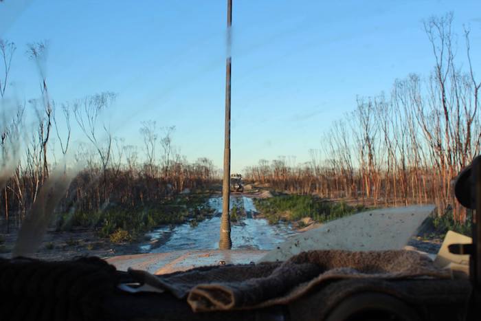
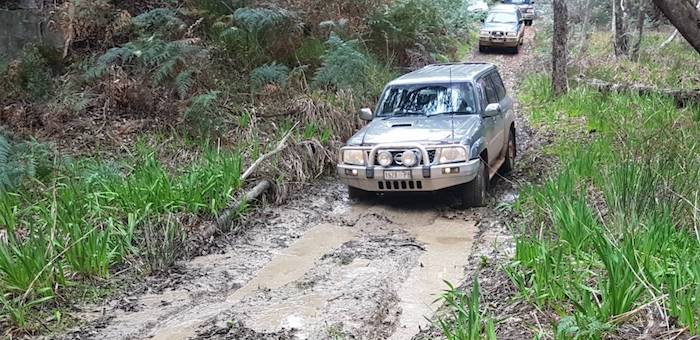
We had time on our side so we decided to follow the old railway south-west rather head out to the Goldfields Highway and Menzies. Eventually the track we were on was heading too far from our destination and it was time to turn west and head to the Highway.
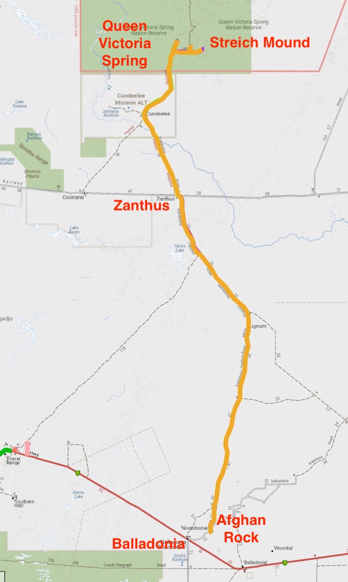
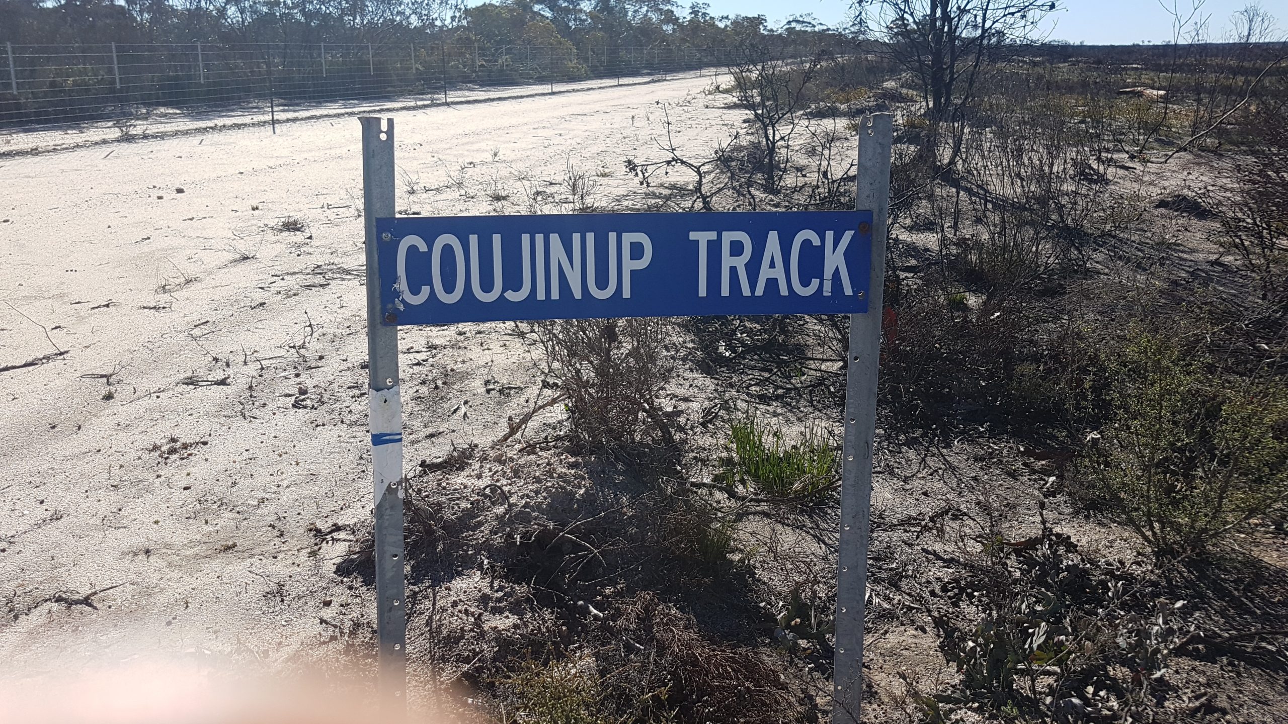
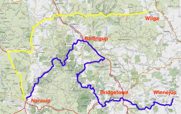
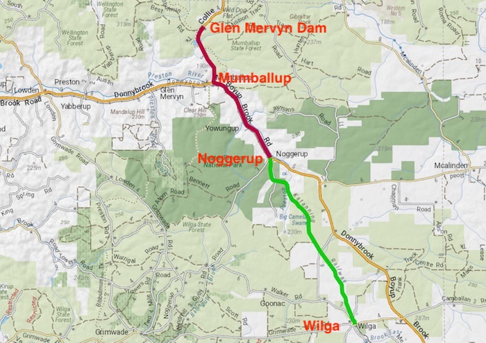
Into Menzies and on to Goongarie. At the time of the Outback Trek we weren’t entirely sure of the route of the Gus Luck Track, believing it to finish 13 kilometres east of Coonmine Well on the Coolgardie North Road. Further research revealed that this historic track finishes at Goongarrie and our current route to Wangine was along the Track. Our follow up Trip in October re-discovered much of the uncertain and/or lost legs of the Gus Luck Track.
-

-
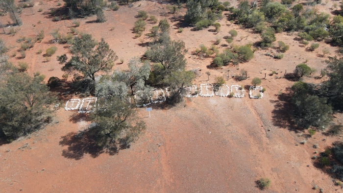
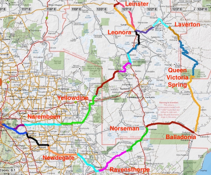
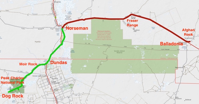
Route of the Outback Trek through the North and North-Eastern Goldfields
Go to Outback Trek – Gus Luck Track
Go back to Outback Trek – Great Victoria Desert
© Cockburn 4WD Club 2020 and Kim Epton
Feel free to use any part of this document but please do the right thing and give attribution. It will enhance the SEO of your website/blog and this website.
2020 words, 56 photographs, 1 image.
Text and Layout
Kim Epton
Photographs
Kim Epton
Jane Dooley
James Hay
Michael Orr
Ray Dowinton
See Terms of Use