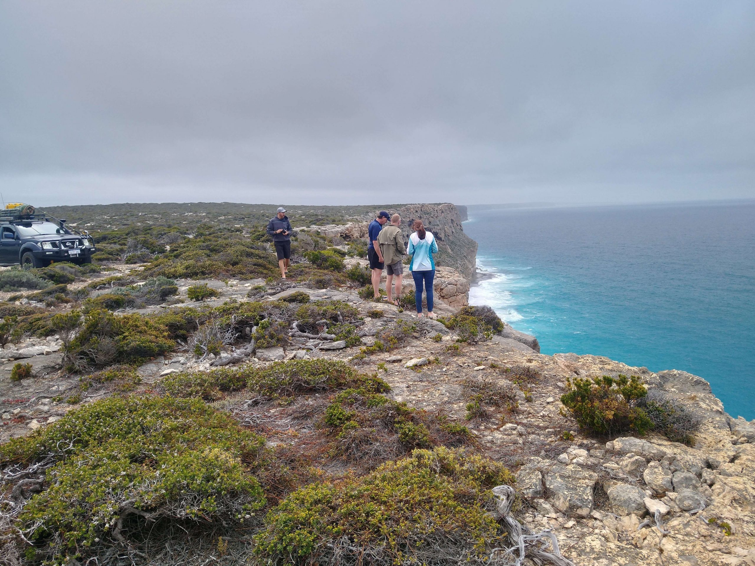
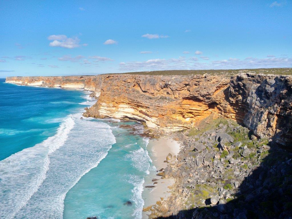
Outback Trek 2020 – Mt Palmer Track

We finished the Gus Luck Track at Yellowdine.

The weather was foul. A strong, cold, south-easterly was blowing. The sealed Great Eastern Highway to home was tempting and  three crews chose to take it.

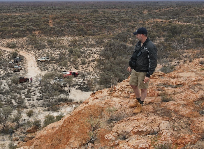
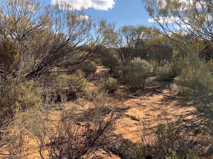
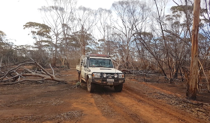
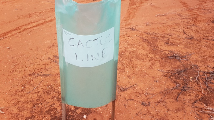
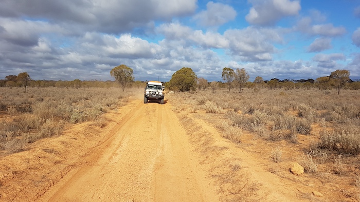
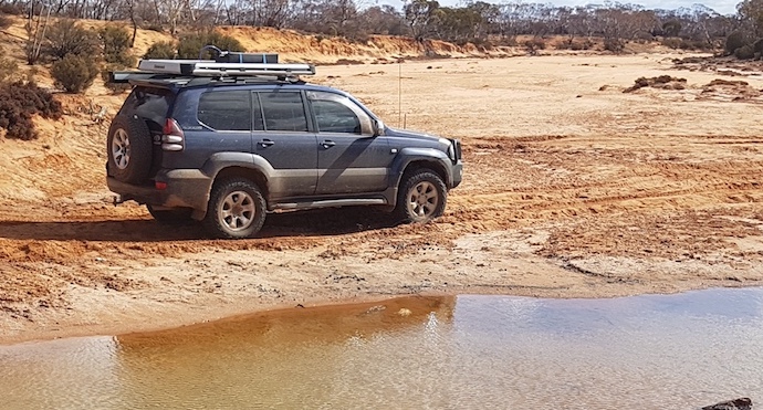
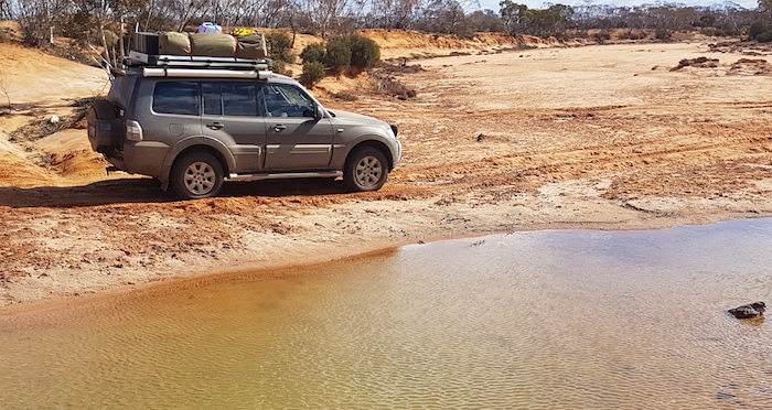
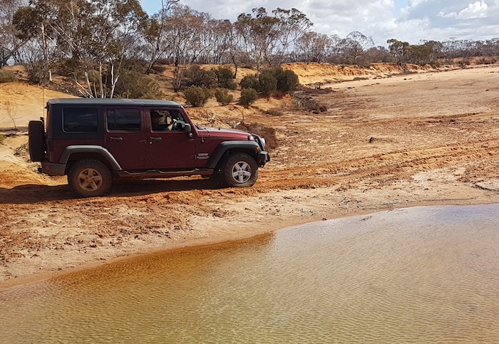
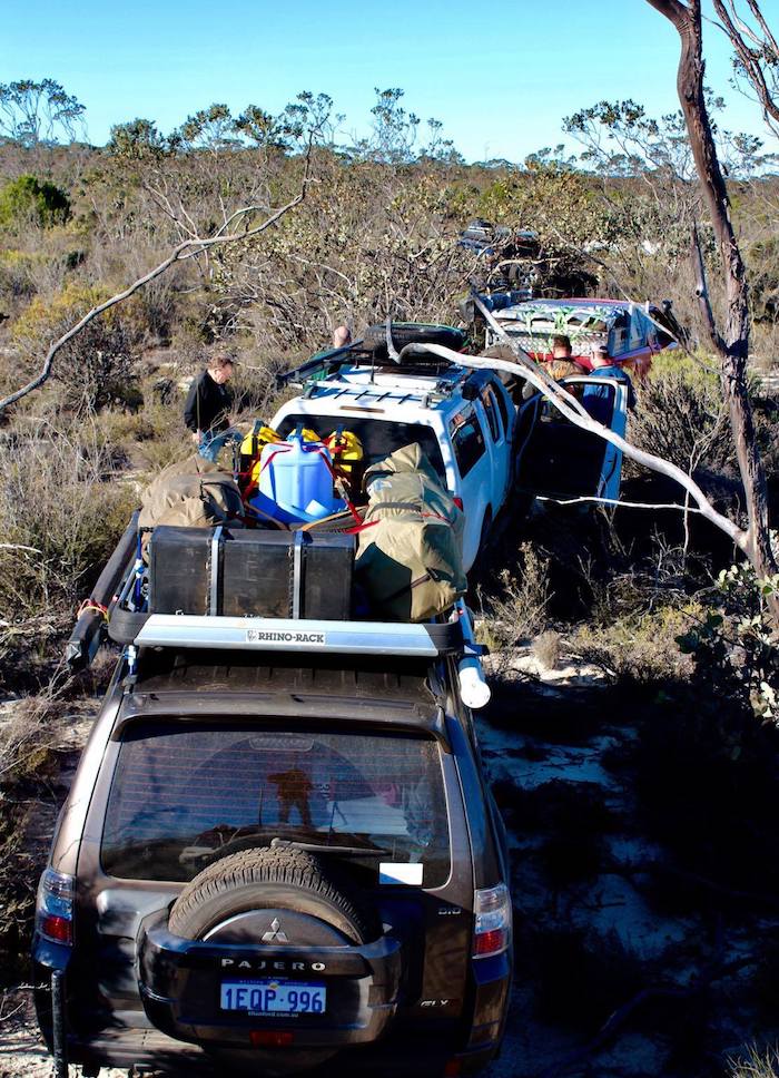
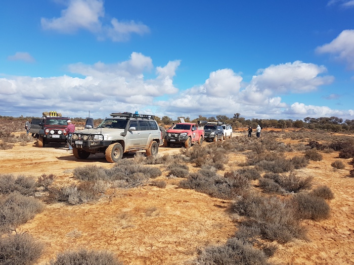
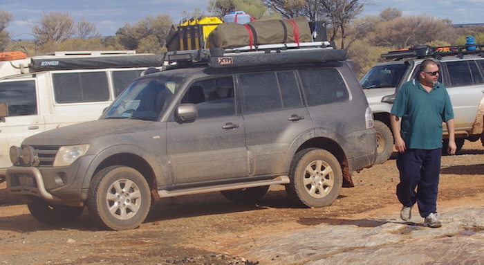
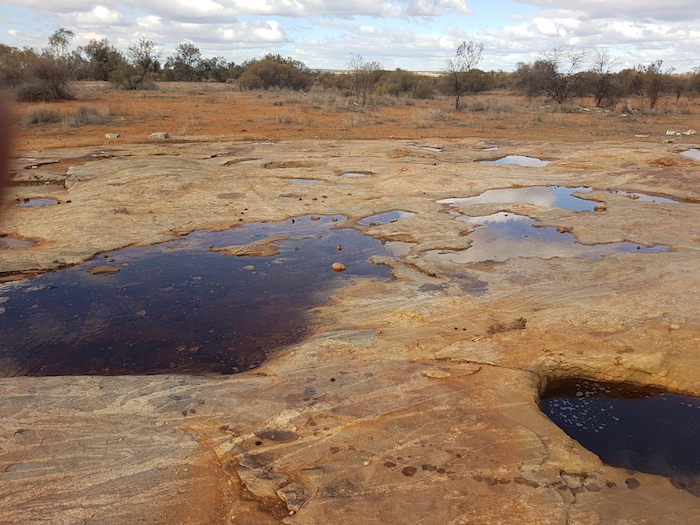
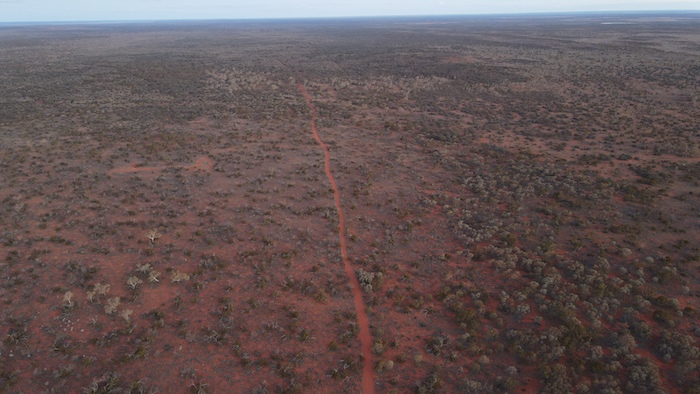
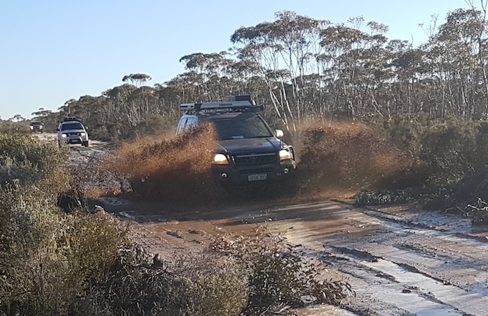
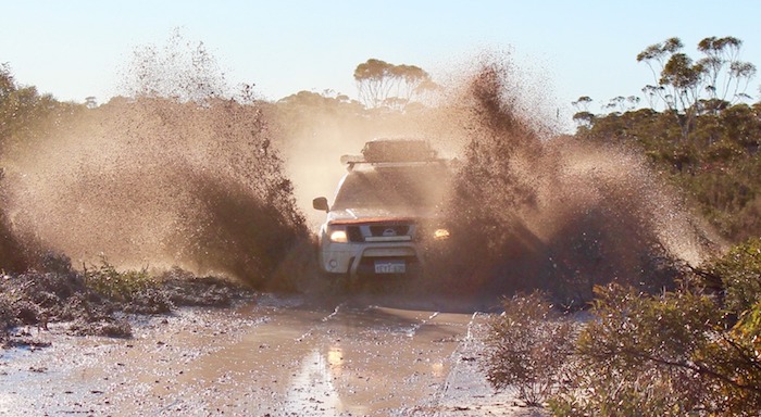
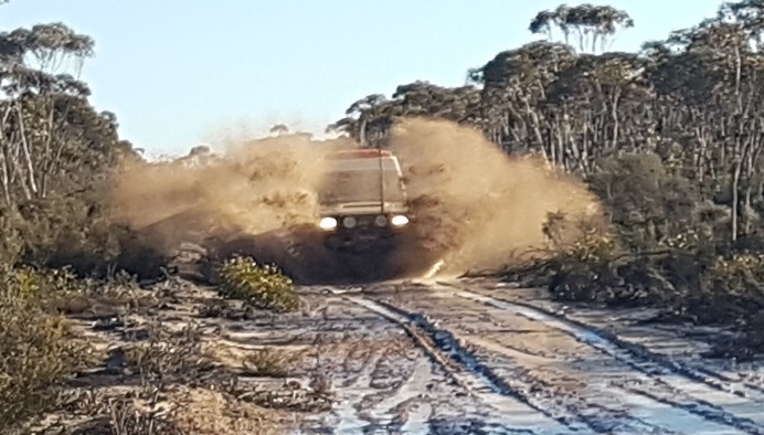
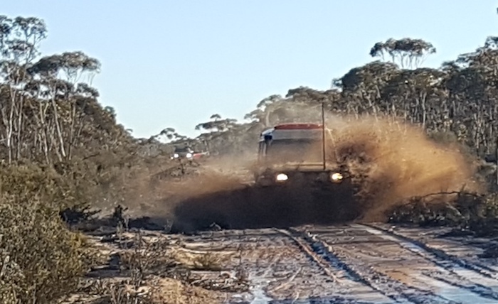
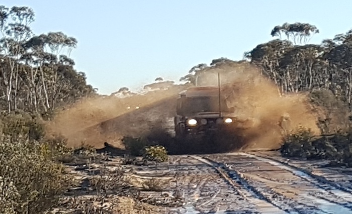
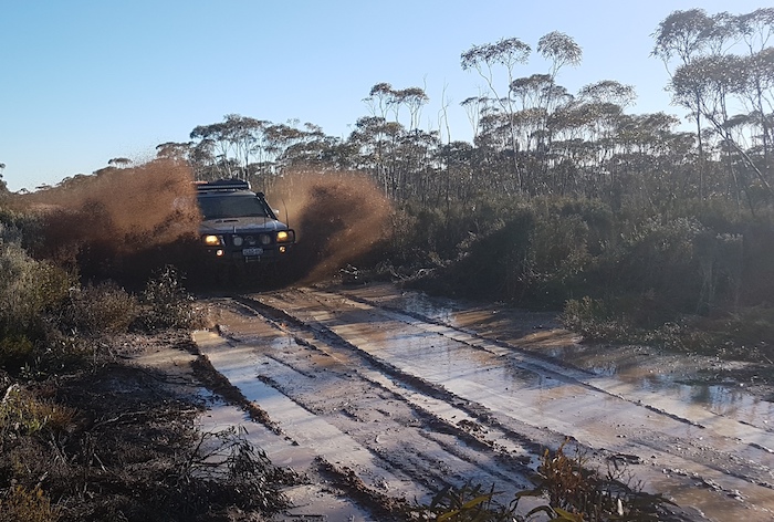
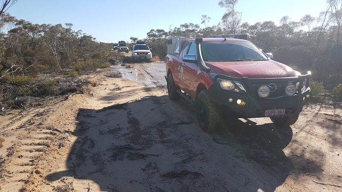
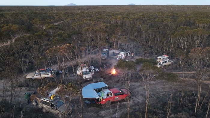
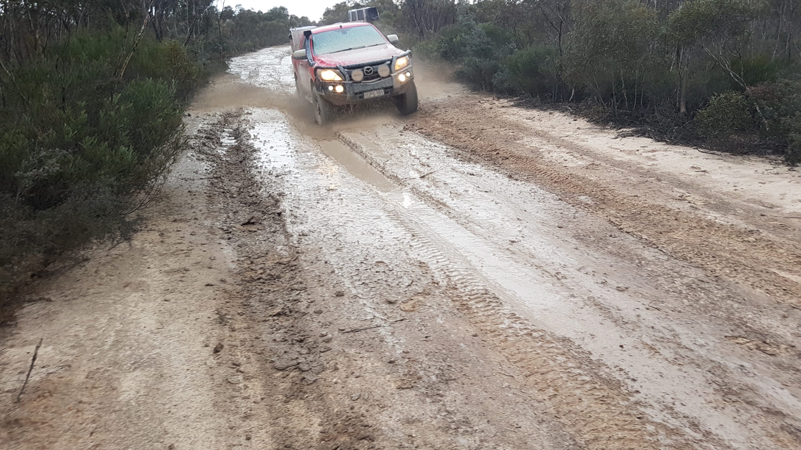
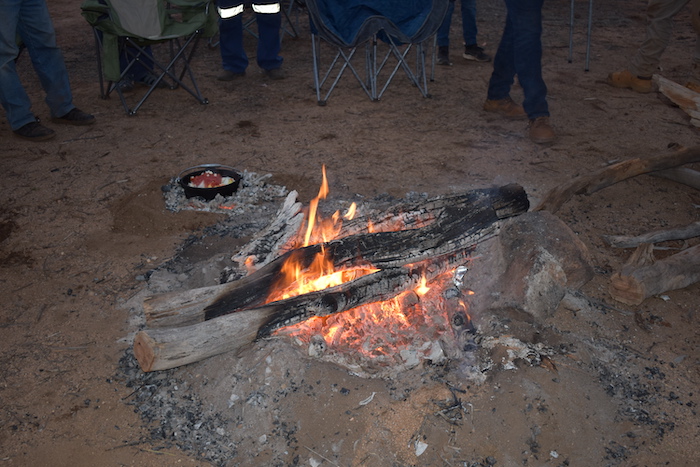
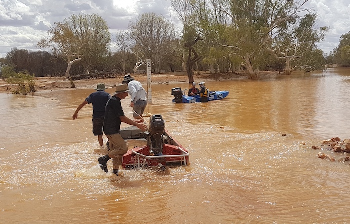
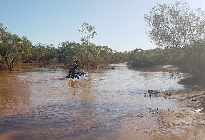
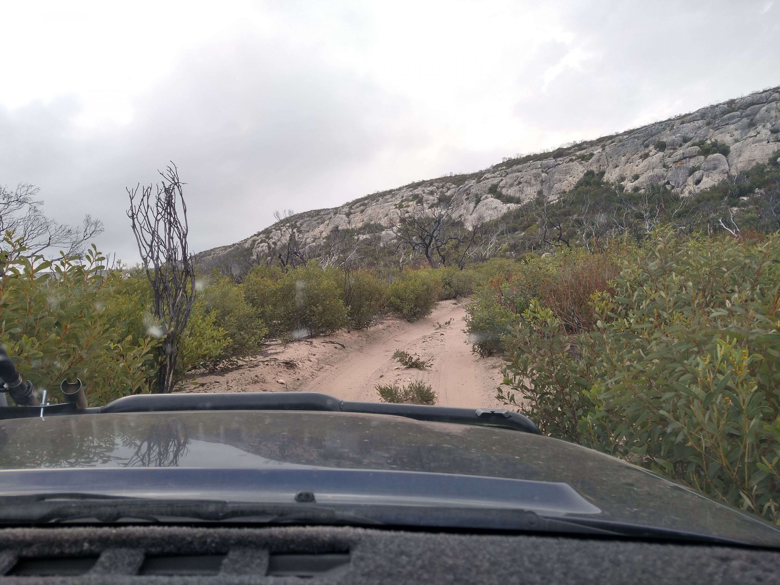
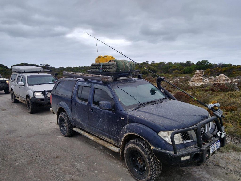
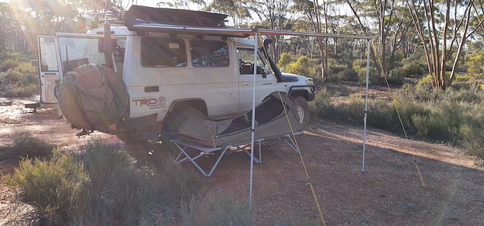
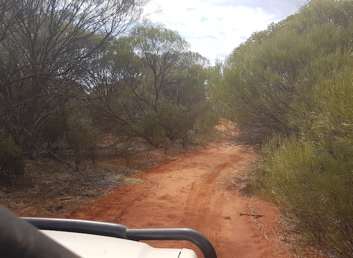
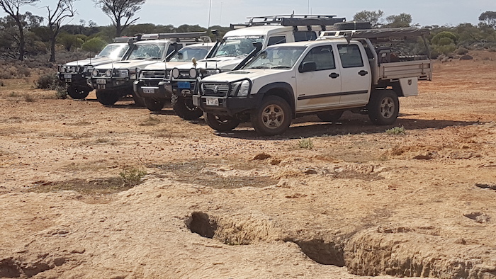
Kim, Steve, Aaron, and Brad and Jane continued on the planned route along the unmaintained Mt Palmer Track. Hardly worth a mention for most of the year but after prolonged rain it was a challenge. It seemed like a never-ending series of long stretches of water, bogholes and slippery, muddy dirt track. And, just as we thought we were through the worst of it – a lake across the Track!

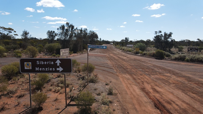
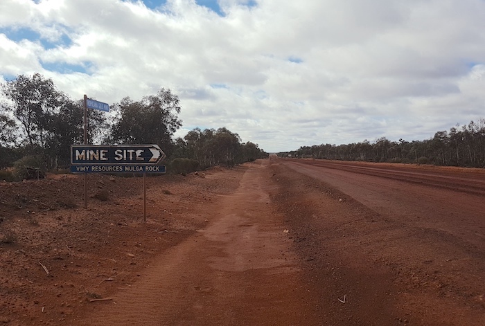
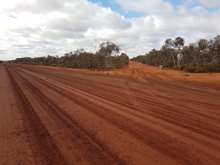
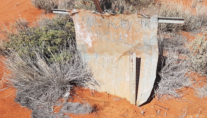
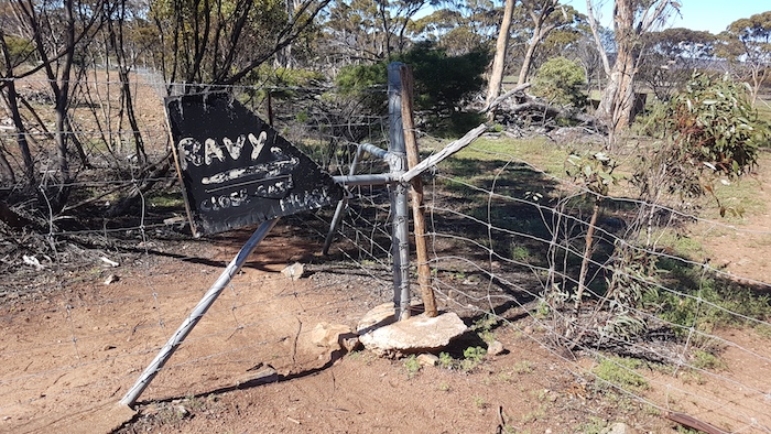
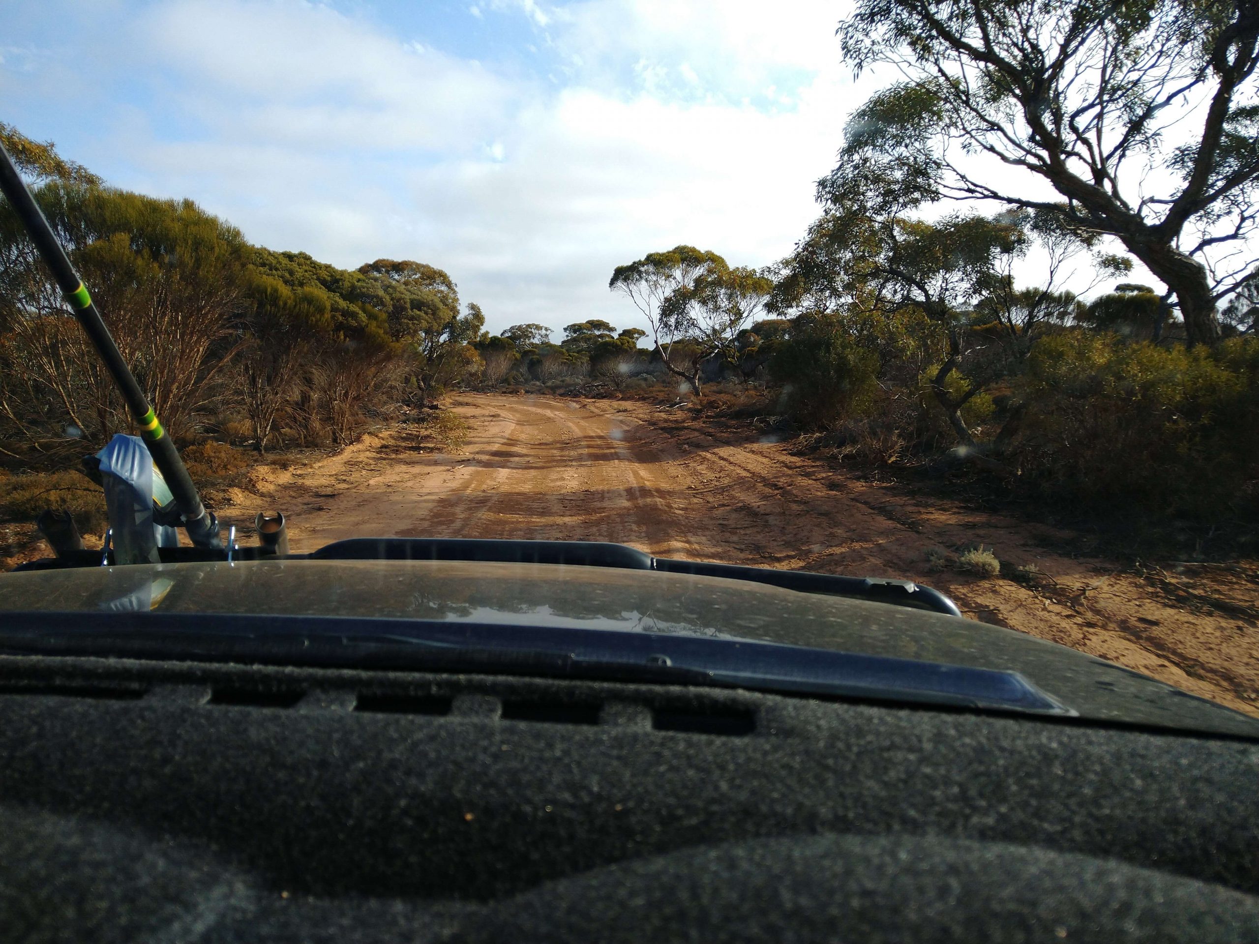
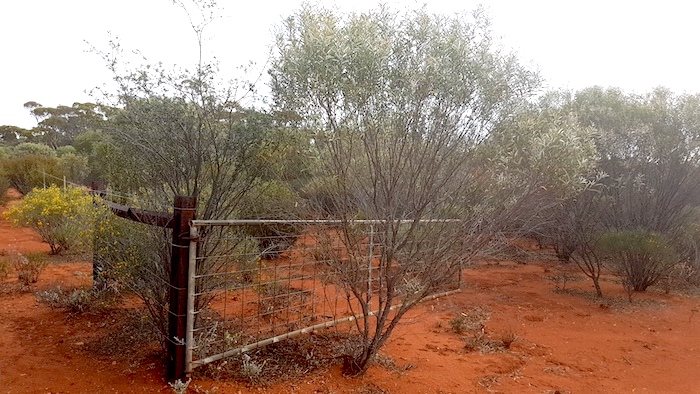
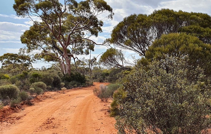
Leaving Great Eastern Highway from the Yellowdine roadhouse there is fair warning that the trip to Mt Palmer may not be all that easy.

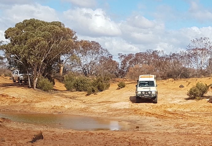
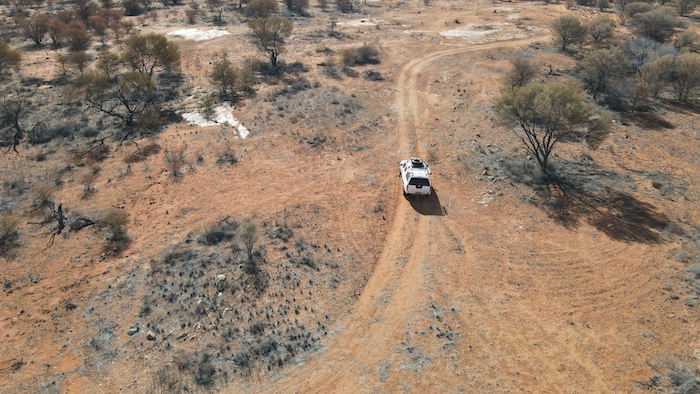
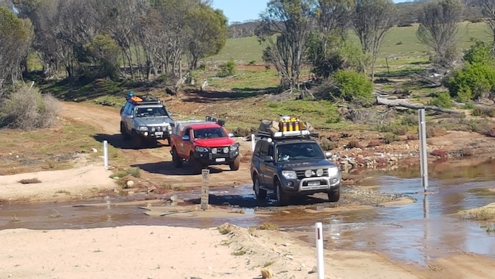
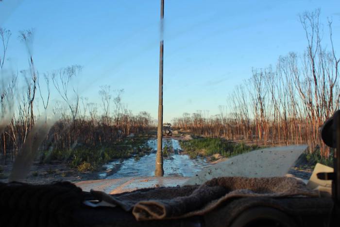
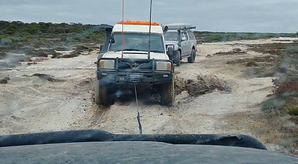
As matters eventuated it was the most difficult part of the entire Trip. The 12 kilometres to Palmers Find was one stretch of water after another, some up to a hundred metres long, most about 30 or 40 metres.

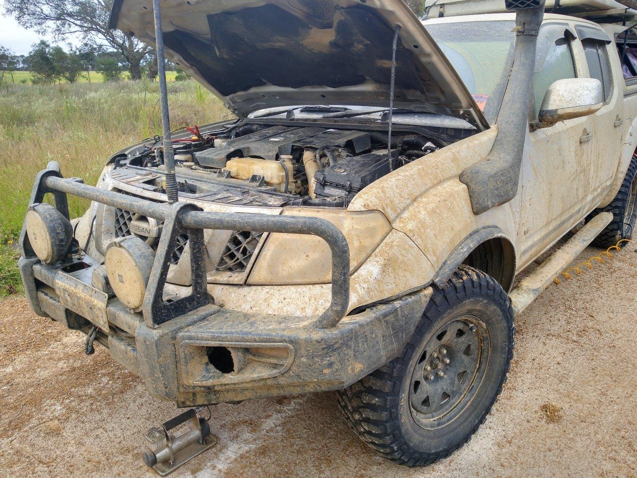
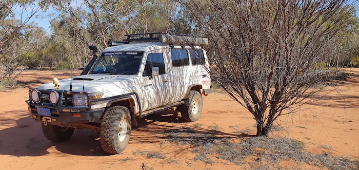
The depth varied with the deepest being about level with the headlights on the Rodeo. Water in one of the last bogholes caused electrical damage in Steve’s BT50. Later sketchily diagnosed as a faulty alternator, it caused us ongoing issues all the way to Narembeen.

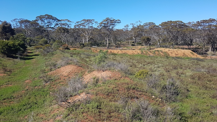
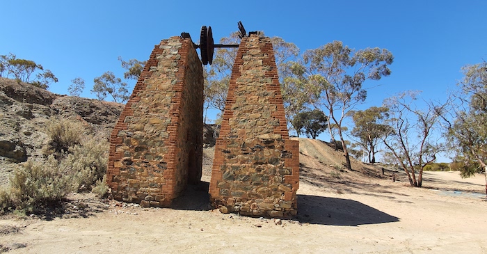
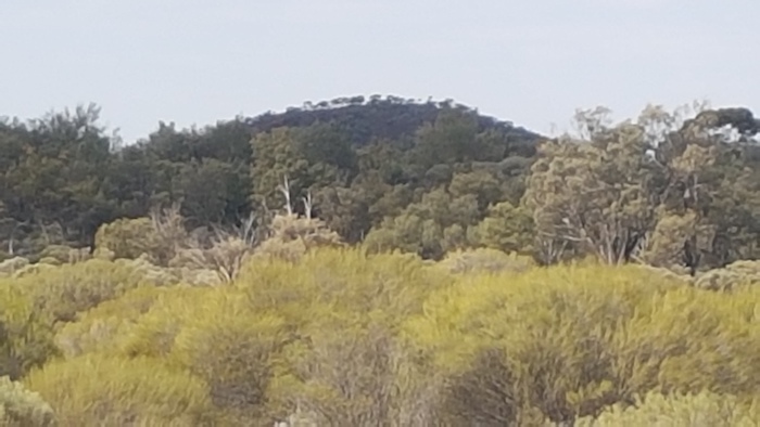
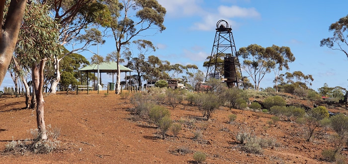
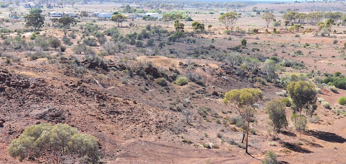
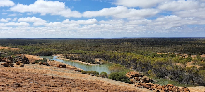
The bogholes ended and we arrived at the historic Mt Palmer fields.

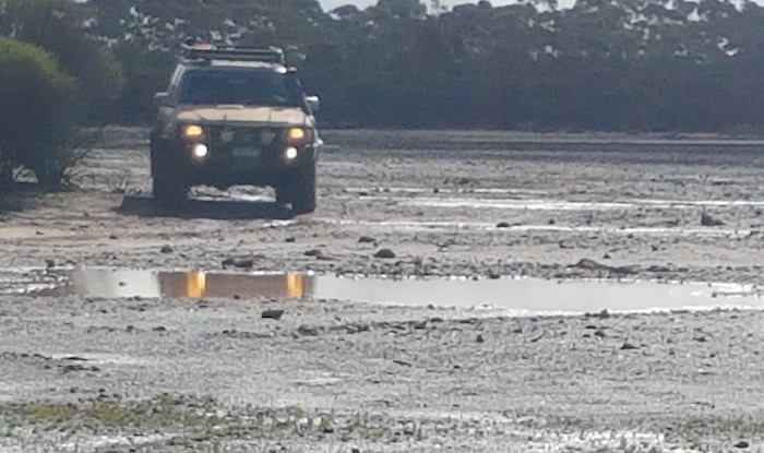
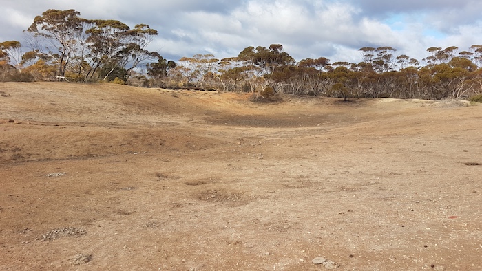
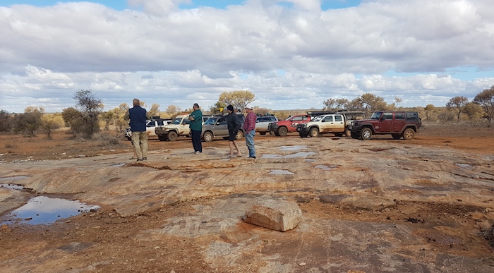
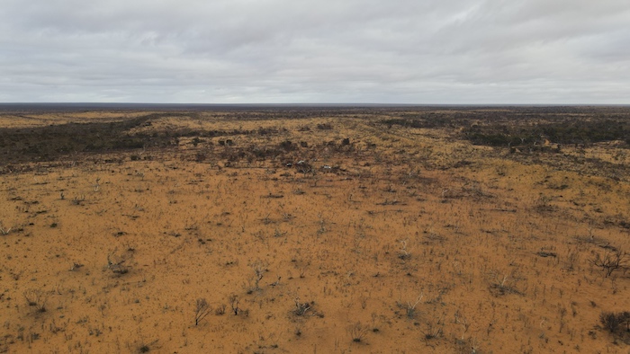
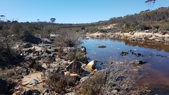
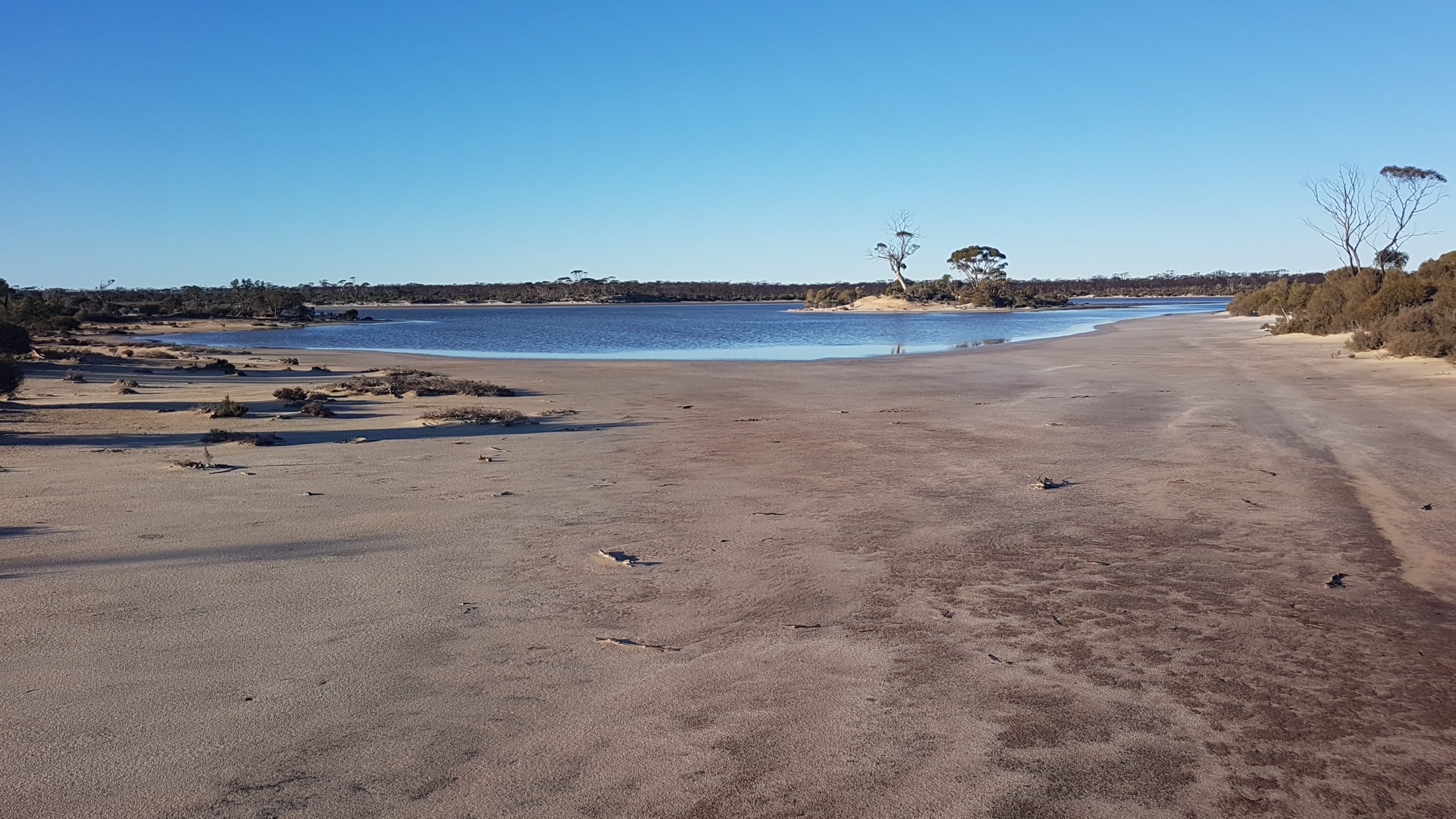
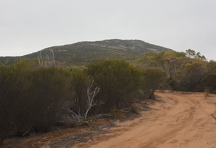
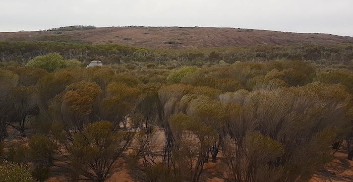
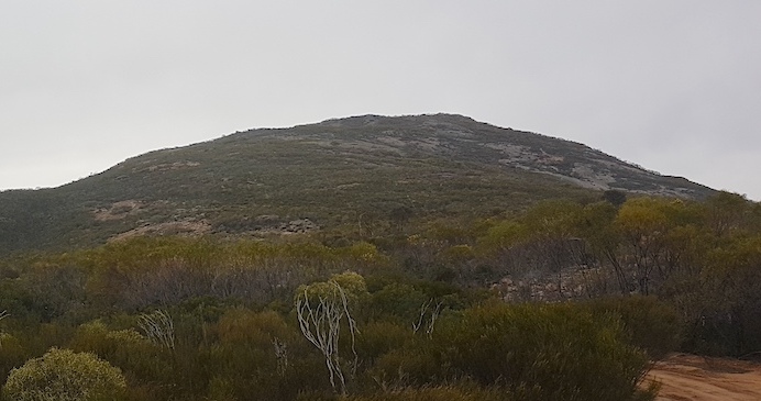
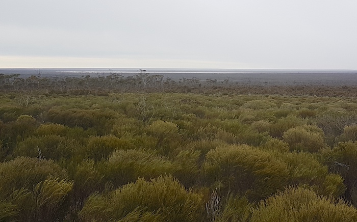
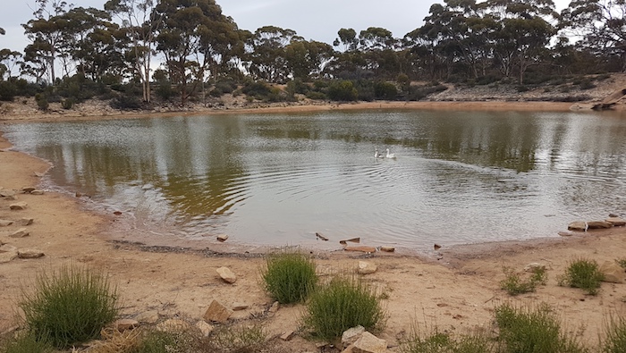
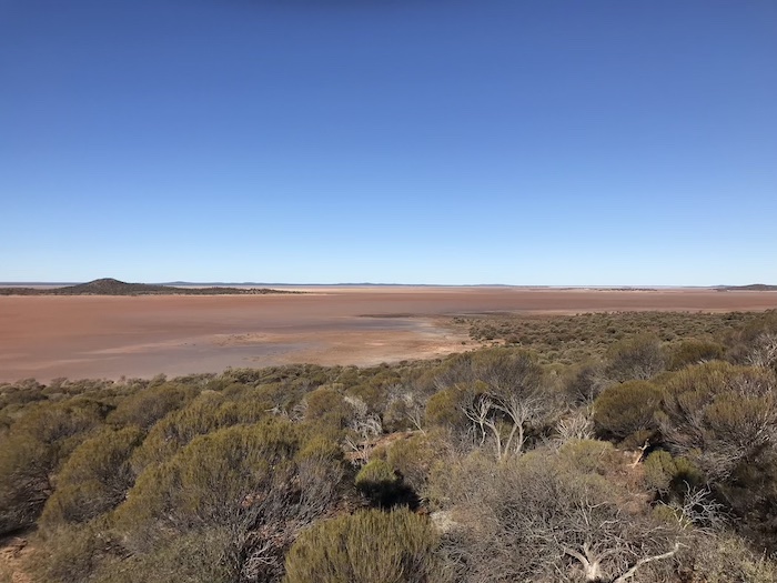
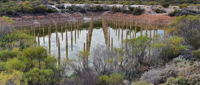
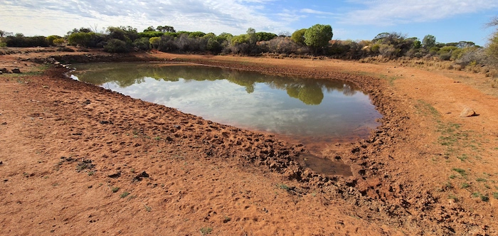
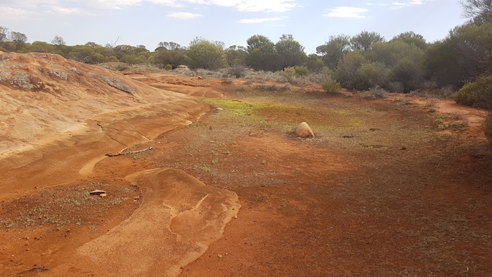
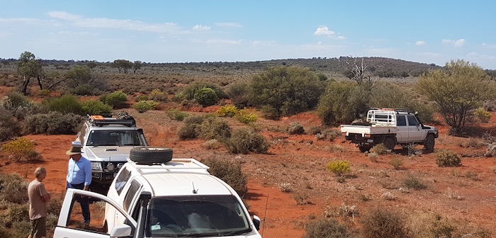
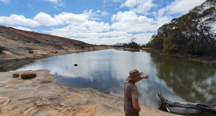
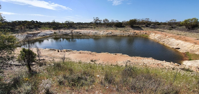
The track we wanted was to the west and we figured we were out of the worst of the flooding and bogholes. Not so. As we crested a hill two kilometres from Mount Palmer we were presented with a challenging sight. An unnamed lake blocked our way. About 200 metres across and nearly a kilometre in width. How to approach this obstacle? It was clear that the water level had fallen slightly since the peak of the rainfall event and the littoral of the lake was exposed.

After a number of minutes of consideration I decided that the best course of action was to drive around the edges of the lake rather than drive through it. There was little water present but how boggy was it? Here goes nothing.

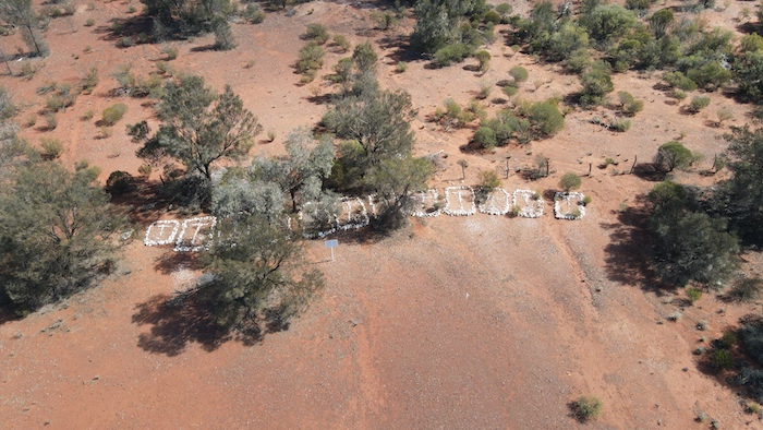
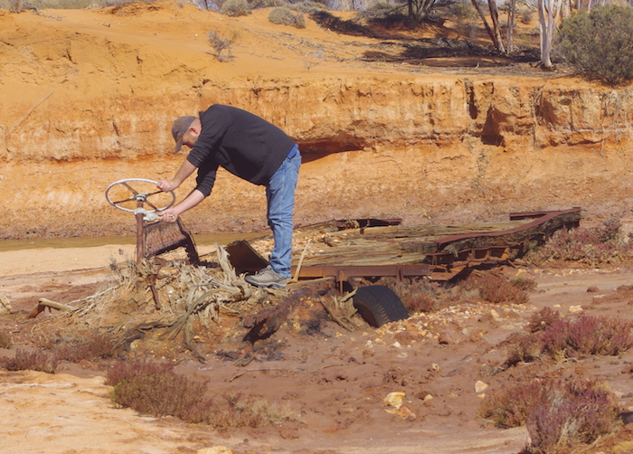
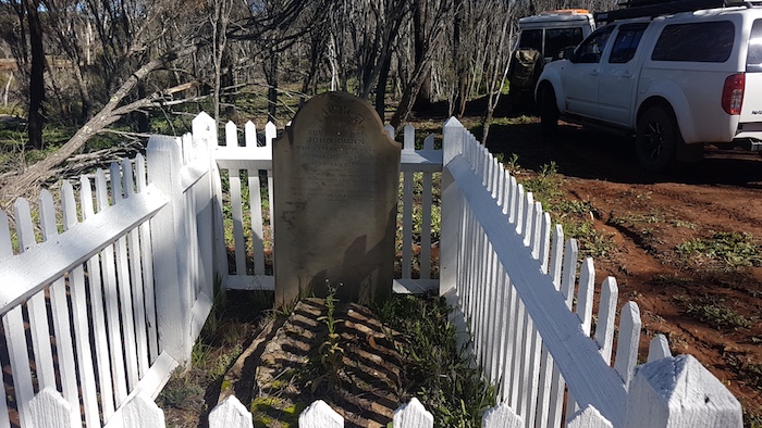
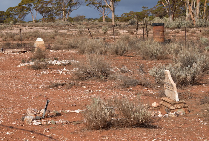
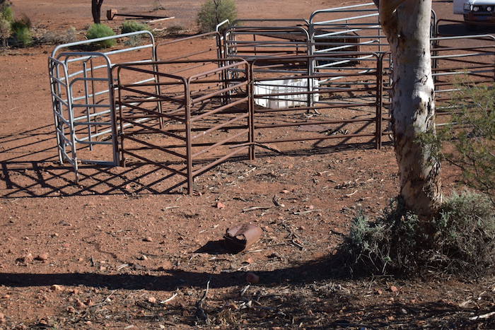
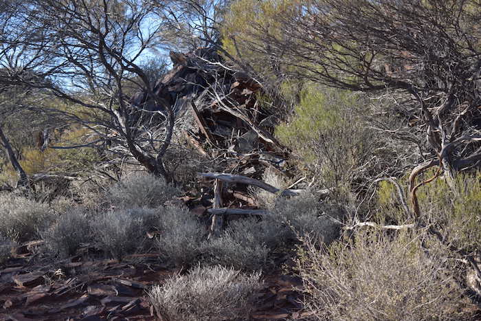
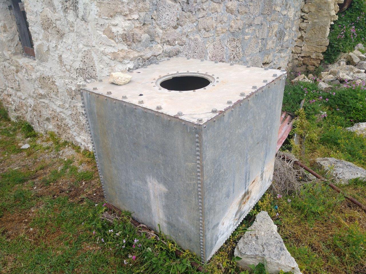
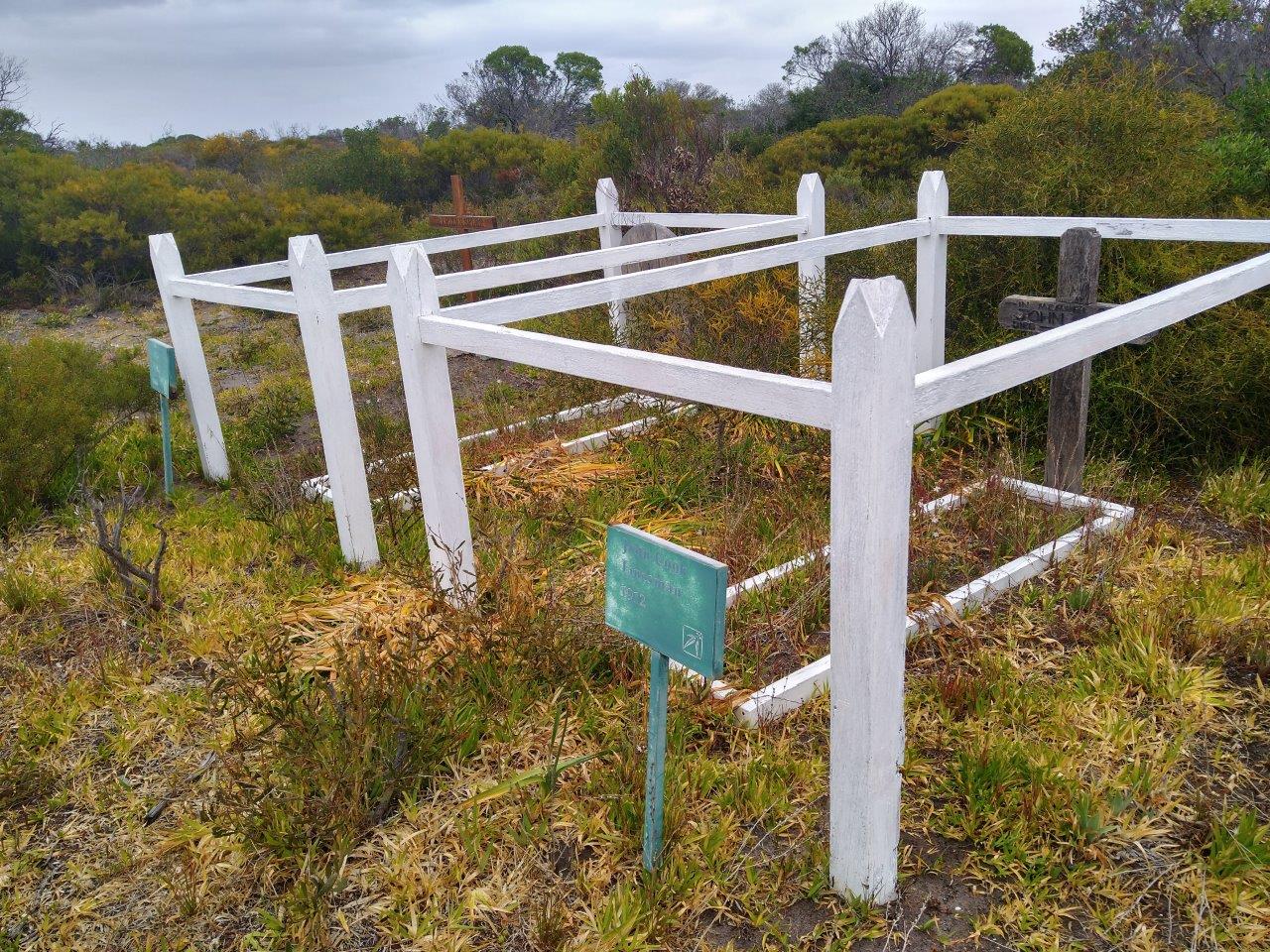
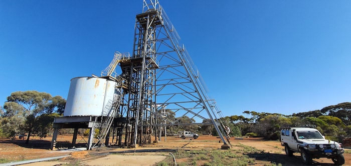
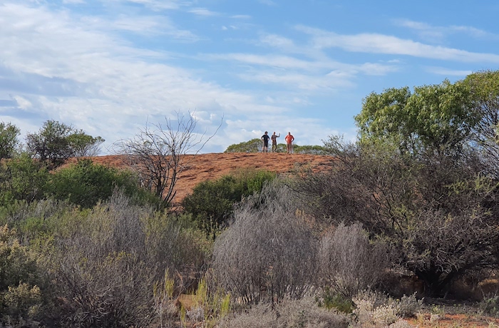
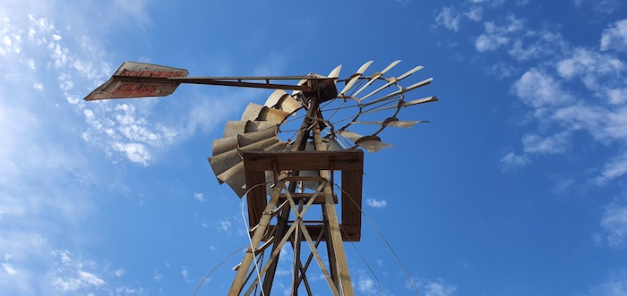
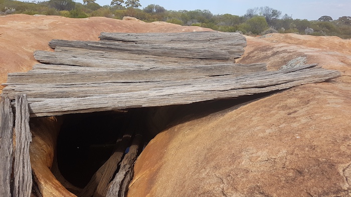
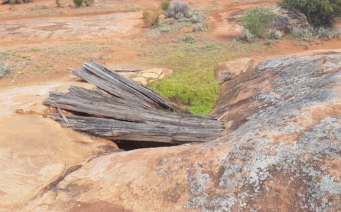
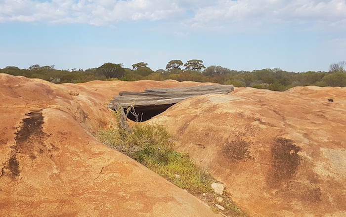
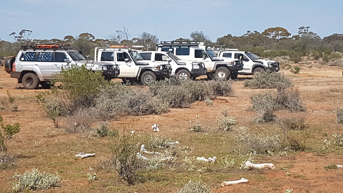
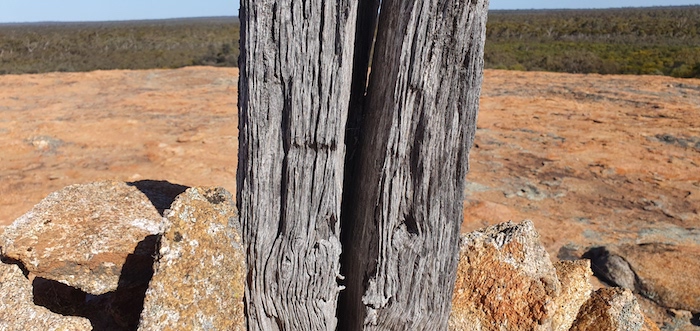
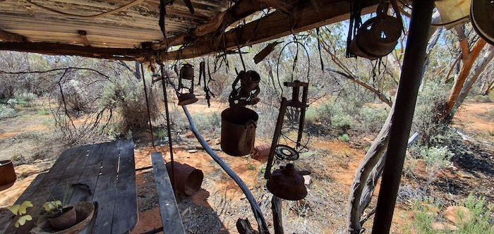
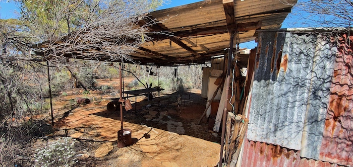
We snuck around the northern edges of the lake. As we headed back onto the main road we found a hut and a grave.

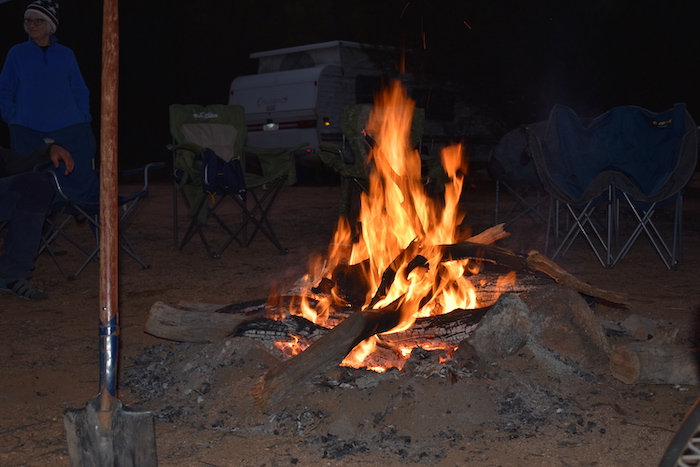
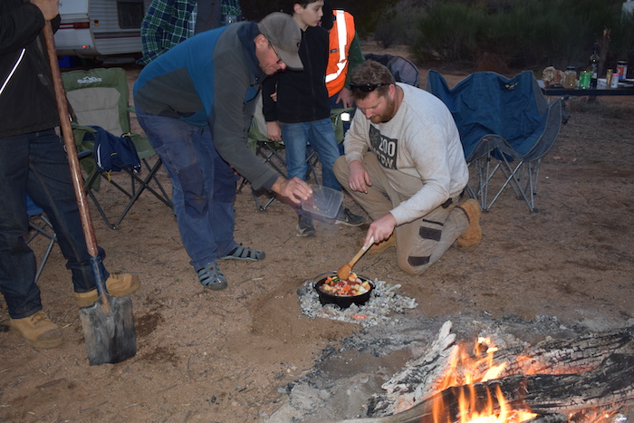
Steve’s vehicle was causing problems. The alternator wasn’t charging and he could drive for only 21 kilometres before the vehicle would stop and need a recharge. We repeated this stop/start procedure for quite a number of hours to get the vehicle into Narembeen. Nobody is left to fend for themselves.

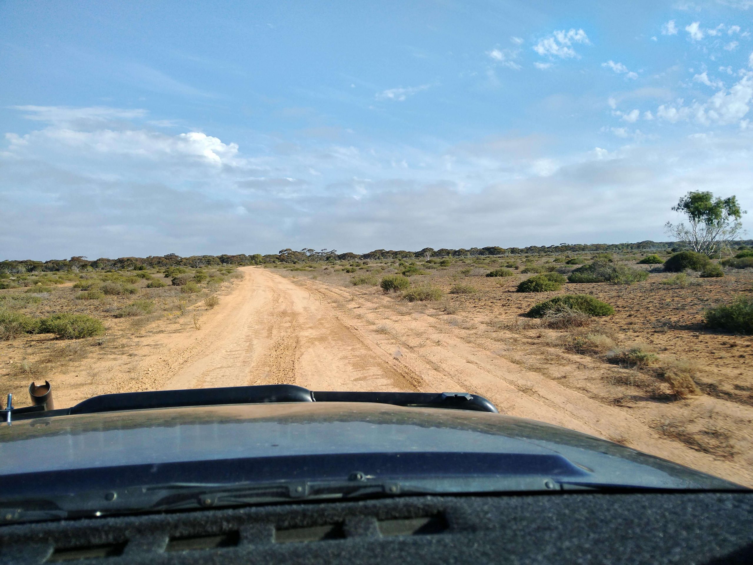
Our route took us 80+ kilometres south on the Emu Fence Road before we turned to the west on Soldiers Road. By this time all fears of bogging on a flooded road had dissipated and it was simply a matter of trying to staying warm while Steve’s vehicle was being charged.

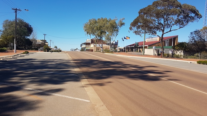
Narembeen was effectively the end of the Outback Trek. Steve had to wait for a flat top to recover his BT50 and the others continued home.

The Outback Trek
10 days, 3100 kilometres

Kim Epton – Rodeo
Aaron Howell – Patrol
Brad O’Neil, Jane Dooley – Troopy
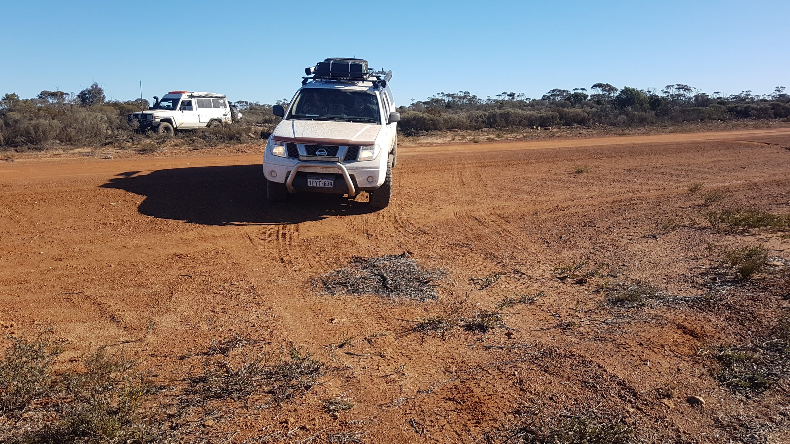
Michael ‘Mushy’ Orr, Ray Dowinton – Navara
Paul Byrne, Andrew Hall – Pajero
James Hay, Tim Jones – Wrangler
Steve Cook – BT50
Santokh Gill – Prado
Scott Wilson – Landcruiser


Go back to Outback Trek 2020 – Gus Luck Track


© Cockburn 4WD Club 2020 and Kim Epton
Feel free to use any part of this document but please do the right thing and give attribution. It will enhance the SEO of your website/blog and this website.
650 words, 14 photographs.

Text and Layout
Kim Epton

Photographs
Kim Epton
Jane Dooley


See Terms of Use


Outback Trek 2020 – Gus Luck Track

Day 8 Gus Luck Track

From the now-non-existent town of Goongarrie on the Goldfields Highway to Goongarrie Homestead, a DPAW Conservation Reserve about 14 kilometres west,  the track is wide open and good travelling. It deteriorates after the turnoff to Davyhurst. The way we went.

We emerged at the boundary of Goongarrie Starion about 30 kilometres later and the track I wanted to take wasn’t visible. After a bit of consideration we headed west on a good track that we hoped would eventually get us to Siberia.

We had arranged to meet Scott Wilson, well known Kalgoorlie prospector and President of the Eastern Goldfields Historical Society, at Siberia. He would join our Trip for a couple of days.

I was hopeful that the track that we were ‘forced’ to take would eventually connect with the Daveyhurst Ora Banda Road, however, halfway to that expected junction, we arrived at a pipeline and powerline access road. It looked to be a good track and I was reasonably confident it would intersect with the Daveyhurst Ora Banda Road. It did – seven kilometres south. We continued on to our rendezvous with Scott at Siberia.

Scott gave us a guided tour around Wangine – a place he has been familiar with for most of his life. The breakaways here are spectacular and extensive.

After lunch we tried to find the Gus Luck Track leading west from what, in the late 1890s, was an important depot and stopping place. Despite a concerted effort by at least six vehicles the way west remained elusive.

We speculated on the course of the Track entering and leaving Wangine. Clearly the Track from Goongarrie accessed the hotel and other facilities below the breakaway. It would appear that it was on top of the breakaway before continuing on its westward course. Did the Track keep high on the breakaway with a spur to the depot and lodgings below or did it dip below and then make its way up to the high ground. Difficult to know.

As we determined during a follow up Trip in late October, the Track to the west exists but passage for motor vehicles is not possible. We made the decision to skirt the impassable country by going south to Siberia and then west across former pastoral country (ex Credo). As we were heading west Scott recognised some mining exploration tenements that he held in this area many years ago.

We were not certain that the track would connect with Coolgardie North Road but it did eventually bring us out to our destination on that road. A short drive to the north on this major dirt road brought us to the track to Coonmine.

Although it was getting late in the day I figured we could get a few kilometres along the track towards Coonmine. We eventually found a great campsite a couple of kilometres in.

Day 9 Gus Luck Track

This day we would cover most of the Gus Luck Track.

First stop was Coonmine Rockhole, also known as Frost Soak.

The next soak/rockhole along the Track is Turturdine. The location of the water at this rock is not immediately obvious, however, an arrangement of rocks in the shape of an arrow points to the soak.

Throughout the day we were fortunate enough to have Scott share his knowledge of the geology and history of the area, among a number of other subjects. We stopped a few kilometres before Urdardanging and Scott explained the process of coppicing.

Next stop was Urdardanging Rock where there is a covered soak with plenty of water and a grave 100 metres distant. This rock and Turturdine were often confused in official records. Urdardanging was also known as Dookie Rock.

Pilarning Rock is 1.7 kilometres further on. We didn’t stop.

A huge fire had devastated the country last season. A seven kilometre swathe of bush was gone.

Ten kilometres before the Mount Walton Road we lost the Track – without realising it. It was only after a few hundred or so metres that I realised we were not following the planned route. But there was no turnoff or junction. Very deceptive. I radioed to Scott at the rear of the convoy and he was able to pick up the faintest of tracks off to the left – the real Gus Luck Track. We turned around and retraced our route. Clearly most, if not all, travellers would follow the good, open track to the Mt Walton Road turn left, drive south for five kilometres and pick up the Gus Luck Track  again. And the situation is little better for those doing the Track in the opposite direction, from Yellowdine. As we discovered on our follow up Trip in October travellers are led away from the real Gus Luck Track to this more open roadway. Very few, if any, travellers are driving the actual Gus Luck Track for the 20 kilometres east of the Mount Walton Road – as evidenced by the lack of tyre marks and the overgrown condition of the real Track.

Apart from the navigational challenges in this stretch of the Track, there is a 100 metre washaway that could present a few challenges in the wet.

Not far west of the Mount Walton Road is 71 Mile Rock – an important stopping place in times past. Today’s track does not led directly to the rock and well. The narrow, rough, and overgrown offshoot, while not obvious, does lead directly to the base of 71 Mile Rock.

Wallangie is 15 kilometres further on. This was a large and important water point on Juardi Station.

We were approaching the Trans Australian Railway. Since the Mount Walton haul road we had been travelling through what was once Juardi Station, now a DPAW Conservation Reserve.

At the Trans Line the dirt track parallels the rail track for 200 metres before crossing over and then continues alongside it for a further two kilometres before turning away to the south. Darrine Soak is a couple of kilometres further on. Signatures/graffiti on the lid of the soak roof at Darrine date back to 1939.

We came across some potentially boggy parts of the Track after Darrine and took to the (burnt out) bush to get around it. Except for Brad and Scott who were determined to demonstrate Toyota exceptionalism.

The afternoon was wearing on and it was time to start looking for a campsite. Though there was sufficient time to reach Weowanie Rock I knew there would be insufficient wood there so I determined to stop just short of that feature.

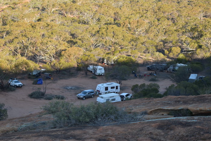
By this time in the Trek, responsibility for campsite selection had devolved to Mushy and he soon found a clearing only 50 metres off the Track large enough for all vehicles and replete with plenty of firewood. In addition it was on high ground – away from the low lying Eva Lake and eastward portions of Lake Seabrook.

The weather was starting to look threatening. We were coming into range of broadcast radio stations and the weather forecasts for later in the night and early the next day were dire.

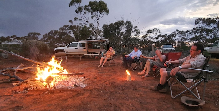
The evening passed as usual and everyone went to bed reasonably early. Some made preparations and packed their camp that night. The rain arrived about 1.00 a.m. It rained and rained and rained.

Day 10 Weowanie to Yellowdine

Without any urging, everyone was up before first light, packing away a sodden camp. The rain kept coming. There was no time for a cooked breakfast – just grab whatever was available. By 6.00 a.m. everyone was ready to leave.

The 50 metres from our campsite to the Track was looking problematic. Soft, sodden mud although it appeared as if the base was firm. I walked out to the Track. Water was flowing down it eastward towards Eva Lake. At least it was reasonably firm under the rivers of water. Maybe we weren’t going to be stuck here for a week.

I asked the lightest crews to drive out first and those with diff locks to come out last. As all made it to the Track without too much stress I suppose it was anticlimactic, however, there was still another 13 kilometres of potentially flooded track to get through.

Just over two kilometres along the Track we came to the Yellowdine Vermin Proof Fence at which point the track, obviously, T junctioned. After some hesitation and discussion over the radio I decided to head to the right. Within 700 metres we arrived at a gate through the Fence, a sign opposite the gate displaying ‘Juardi Station’, and the track clearly continuing on the other side of the gate.

I was pretty confident I knew where I was, having been here once previously – but on the other side of the Fence. We passed through the Fence and within a few kilometres arrived at Weowanie.

Track conditions had improved remarkably but I was still very concerned about the next seven kilometres (including a part that traverses a section of Lake Seabrook) before we would get to the (virtually) all weather Marvel Loch Road. While rough, rutted and torn up in places it was passable and did not present any real issues. We stopped at Duladgin Well.

The drive to Yellowdine was sloppy but without worry.

Cheap diesel at the roadhouse was a bonus. Mushy and Ray, Paul and Andrew, and James and Tim decided to head home down Great Eastern Highway. Kim, Aaron, Brad and Jane, and Steve continued on with the remainder of the Trek – the Mount Palmer Track.

Go on to Outback Trek – Mt Palmer Track

Go back to Outback Trek – Goldfields


© Cockburn 4WD Club 2020 and Kim Epton
Feel free to use any part of this document but please do the right thing and give attribution. It will enhance the SEO of your website/blog and this website.
2030 words, 65 photographs, 1 image.

Text and Layout
Kim Epton

Photographs
Kim Epton
Jane Dooley
James Hay
Michael Orr
Ray Dowinton

Outback Trek 2020 – Goldfields

Day 6 – Great Victoria Desert to Leonora

We left our camp at the top of Lake Minigwal heading out of the desert and towards Burtville. About 19 kilometres to the north we hit a wide, well maintained, 80 kph track. Clearly there is a mine nearby. As the road turned further to the north we turned off to the left into Mount Dennis. This is magnificent breakaway country.

Leaving Mount Dennis we returned to the main road. Another two kilometres further on we came onto a haul road. While trying to locate the track into Friday Gnamma we interfaced with some of the locals.

Friday Gnamma is just a kilometre further on from the haul road. Clearly important a century ago, or more, but underwhelming today.

We pushed on to Burtville, 33 kilometres distant on a good dirt road. Many signs of mining activity.

Burtville

Prospectors Billy Frost and J. Tregurtha found gold here in 1897.

In 1901 Surveyor J.H. Rowe recorded the aboriginal name for the district as Merolia and the settlement was shown on early maps and gazetted as such in 1902. However, the original residents determined upon calling the place Burtville in compliment to the Warden of the Mount Margaret Goldfield, then Alfred Earle Burt (1852-1945), a son of Sir Archibald Burt, first Chief Justice of the WA Supreme Court. The town was regazetted as Burtville later in 1902.

At its peak in 1903 the population exceeded 400 but by 1916 it had reduced to 45.

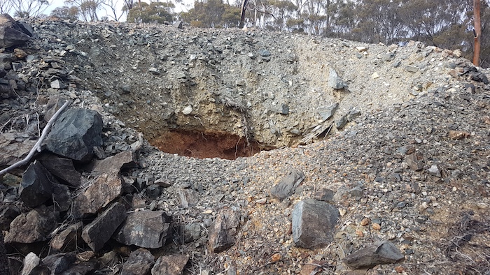
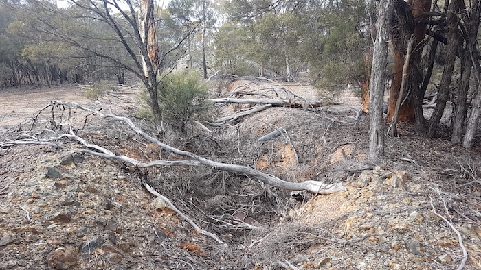
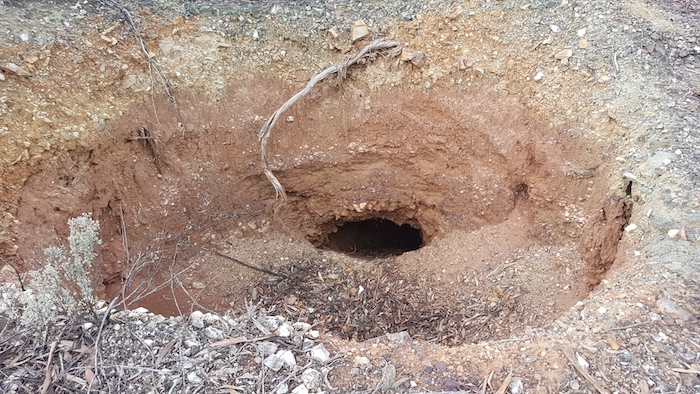
We spent some time poking around Burtville, looking at relicts, the cemetery and old shafts. It has been cleaned up and made safe. In the process a lot of history was destroyed.

Our desert interlude was coming to an end. Laverton was looming.

Laverton

After a few days out of contact our arrival at Laverton was an opportunity to catch up on a business, work, family and friends. Difficult to get totally away.

McOmish and Potts discovered gold here in 1896 and took their samples to Dr Charles Laver in Coolgardie. Laver established the British Flag Mine at the strike.

Surveyor J.H. Rowe noted:

“natives call this place ‘Buckanoo’. The residents seem unanimous in wishing the proposed T/S to be called ‘Laverton’.” (FB 23 p9).

Laver held mining leases in his right in the vicinity. He was a firm believer in the value of the large lode formations that were being worked at the British Flag. It was reported that “he had great faith in the district and was untiring in his efforts to attract the attention of capitalists to its mines”.

We were well ahead of where we expected to be at this time so we decided to check out Windarra, to the north of Laverton.

Windara

Windarra was the centre of the world famous 1960s nickel boom.

We drove to the Lookout and then walked a short distance to the top of the hill.

After leaving Windarra we picked up our original Route and headed to historic Mt Morgans.

Mount Morgans

Gold was discovered here in 1896 by Lilley and party, and their lease was later taken over by E.A. Morgans who became the Member for Coolgardie and later Premier of Western Australia.

The Westralia Mt Morgans mine was developed and in 1899 the Warden for the area requested a townsite be surveyed and declared at Mount Morgans.

The man after whom the area was named, Alfred Edward Morgans (1850-1933), was born in Wales, educated in England and came to Western Australia in 1896 as a representative of Morgans’ Syndicate Ltd. He was regarded as ‘the doyen of mining magnates’, and was elected as the MLA for Coolgardie in 1897. He became Premier on 21 November 1901 but when three of his Ministers failed to get re-elected he was defeated in the Legislative Assembly on 23 December 1901. This is the shortest term of any Western Australian government.

Until 1952 328,000 ounces of gold at 15 g/t were produced. The mine had a second period of activity from 1988 to 1997, producing 917,000 ounces at 3.2 g/t from open pit operations.

The mine then had five different owners before being taken over by Dacian Gold in 2012. It is developing into one of the largest underground gold mines in Australia and is expected to produce until 2028.

Leaving Mt Morgans we took the old dirt road that parallels the sealed Laverton-Leonora Road. Knowing that we needed firewood at Leonora, we stopped along the way.

Leonora Caravan Park was full – mainly prospectors but also a few travellers/tourists like us. It was fortunate that Tokhy has made reservations earlier in the day. Showers, pub grub, and fuel were all on the list of  ‘to dos’.

Leonora

The townsite was named after nearby Mount Leonora, which was named by explorer John Forrest in 1869 during his expedition to look for lost explorer Ludwig Leichhardt. Forrest named Mount Leonora after a friend, Phylis Leonora Hardey, daughter of John Wall Hardey of Grove Farm, Swan River.

Gold was discovered in the Leonora district in 1894 by a prospector named Morrissey and there were then further rich finds in 1895/96 by W. Booden and Edward ‘Doodah’ Sullivan at the Johannesburg lease just north of the current townsite. In the following two years a number of rich finds resulted in rapid development and drew attention to the area.

Day 7 Leonora to Niagara Dam

We headed north along the Goldfields Highway to Leinster, checking out numerous pioneer wells and landing strips along the way.

While looking for Kent Well we found a quarry, probably still used for road base.

Leinster

Leinster is an ‘oasis in the desert’  Built in 1976, it is a ‘closed town’ — home to around 500 permanent residents, all employees or contractors of BHP. It was an ideal place to stop for lunch before heading on to Agnew.

Agnew

Agnew, 21 kilometres south-west of Leinster, is a ghost town.

South African based Gold Fields has underground operations at Agnew and nearby Lawlers. The 650-strong workforce lives off site and commutes to site from Perth (and elsewhere) on a fly-in/fly-out roster, being accommodated at Agnew Village.

Lawlers

Lawlers is another ghost town with the only part of the original town still standing being the old police station.

South African based Gold Fields operates the Lawlers mine in conjunction with its Waroonga Underground operation at Agnew, making the combined mines very low cost operations. The workforce at Lawlers is FIFO and separate from Agnew.

After a quick look around we continued on our way back to Leonora.

Most crews made a quick refuel and resupply at Leonora before visiting the ‘living ghost town’ that is Gwalia, three kilometres to the south.

Gwalia

Our late arrival (15 minutes before closing time) precluded a tour of the museum at Gwalia. Fortunately there is plenty else to see at the Historic Precinct.

The richness of the Gwalia and Sons of Gwalia mines brought Leonora to the attention of the world towards the end of the 19th century.  By 1902 Leonora and Gwalia were connected by a steam tramway.

We weren’t able to dally at Gwalia if we were to reach our planned overnight stop at Niagara Dam. Our route was initially south on the Goldfields Highway for 16 kilometres. We turned towards Melita and followed the railway along the Malcolm Road to Kookynie. An interesting drive with some unusual road construction techniques.

Kookynie

A drink at the Kookynie Pub seemed to be an outback custom, the expected thing, de rigueur, almost a right of passage – and we did not fight tradition, mine host, or the horse at the front door.

But the sun was dipping below the horizon and we needed to head off to Niagara so there was time for only one.

Niagara Dam

On arrival the campsite was self selecting – being the only spot vacant that was big enough for our group. The signs that warn there is no firewood at Niagara Dam are entirely accurate. We searched a few kilometres away and returned with enough for our normal bonfire.

Day 8 Niagara Dam to Gus Luck Track

The 1600 metre track, and accompanying information signs, at Niagara through the breakaways and to the dam is interesting and informative.

Although ironically named after the much more famous overseas falls, Niagara was a big drop for this part of the world. The falls operated only after heavy rain and flowed for only a short time. Not long before construction of the dam was completed, a good quality, underground water supply was found in Kookynie, making Niagara Dam somewhat of a ‘white elephant’.

We had time on our side so we decided to follow the old railway south-west rather head out to the Goldfields Highway and Menzies. Eventually the track we were on was heading too far from our destination and it was time to turn west and head to the Highway.

Into Menzies and on to Goongarie. At the time of the Outback Trek we weren’t entirely sure of the route of the Gus Luck Track, believing it to finish 13 kilometres east of Coonmine Well on the Coolgardie North Road. Further research revealed that this historic track finishes at Goongarrie and our current route to Wangine was along the Track.  Our follow up Trip in October re-discovered much of the uncertain and/or lost legs of the Gus Luck Track.

Go to Outback Trek – Gus Luck Track

Go back to Outback Trek – Great Victoria Desert


© Cockburn 4WD Club 2020 and Kim Epton
Feel free to use any part of this document but please do the right thing and give attribution. It will enhance the SEO of your website/blog and this website.
2020 words, 56 photographs, 1 image.

Text and Layout
Kim Epton

Photographs
Kim Epton
Jane Dooley
James Hay
Michael Orr
Ray Dowinton

See Terms of Use


Outback Trek 2020 – Great Victoria Desert

Into the Great Victoria Desert.

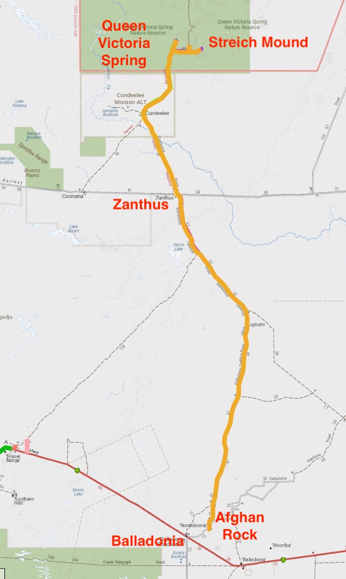
We refuelled and hit the bitumen heading east on the Eyre Highway. At Fraser Range it was a sign of the times that the leaseholders had locked the gates at the three possible access points to the Fraser Range-Zanthus Track. While we could have visited the homestead to arrange access it was all too hard and too far away so we continued to Balladonia from where we would take the Balladonia-Zanthus Track.

Whenever travelling the Eyre Highway I try to avoid outrageous fuel prices at Balladonia but on this occasion we had no option but to top up. We found a campsite at Afghan Rock.

Day 4 – Afghan Rock to near Queen Victoria Spring, Great Victoria Desert

The southern portion of the Balladonia-Zanthus Track is very sandy and deeply rutted. A standard dual cab 4WD ute would have difficulties maintaining forward momentum and even staying on the track. The deep ruts took control of the steering, the dirt was scraping the underbody and driving safely was a challenge.

Further north there were numerous shotlines on both sides of the track. There was evidence of exploration activity all around. IGO Exploration is searching for nickel.

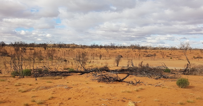
Lightning strikes had caused numerous fires and much of the country was burnt out.

We met James and Tim at Zanthus.

This siding on the Trans Australia Railway was opened in 1917. The name is derived from the latter part of the genus name for the Kangaroo Paw – AnigoZANTHUS. The railway from Port Augusta to Kalgoorlie opened in 1917 and was Australia’s first major infrastructure project. Western Australia had made the construction of a railway linking the nation’s eastern and western colonies a condition for joining the Commonwealth in 1901.

The track north out of Zanthus was in reasonable condition until we reached Ponton Creek. Substantial flow in the Ponton Creek used to cut access to the Cundeelee settlement and while it was not the main reason for abandonment of the settlement, it was a contributing factor.

A ration depot was established in the area in 1939. Cundeelee mission and school was opened by the Australian Aborigines’ Evangelical Mission in 1949. It was run by inter-denominational churches until 1982, when it became an Aboriginal Community.

Many of those at Cundeelee were Tjuntjuntjuara people from the Great Victoria Desert near Maralinga while the British Government was testing atomic weapons in the 1950s. These ‘Spinifex People’ were unhappy at Cundeelee and the majority moved back to their homelands in the Great Victoria Desert in 1984-86.

The original name of Cundeelee is Urpulurpulila, which means ‘tadpole’ in Pitjantjatjarra language, due to the large number of tadpoles found in the rock hole there.

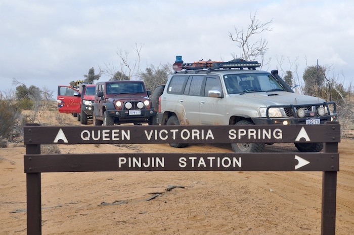
It took some time to determine the correct track north out of Cundeelee to Queen Victoria Springs.

Ernest Giles and his exploration party of six had travelled with camels more than 520 kilometres from Boundary Dam (on the WA/SA border) without finding any water when they lucked upon this spring.

Late in the evening of 25 September 1875 Jess Young was navigating and was steering about 20 degrees off course. Giles had to intervene and correct the heading. Had he not done so the explorers would have passed three kilometres to the north of the water.

Whether foolhardy, brave, lucky or calculated the discovery of what is now known as Queen Victoria Springs certainly saved Giles’s party.

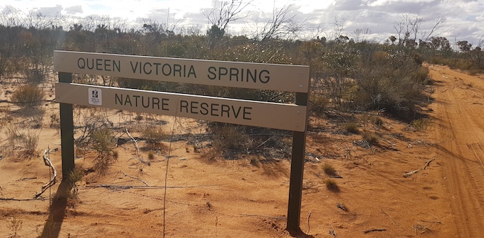
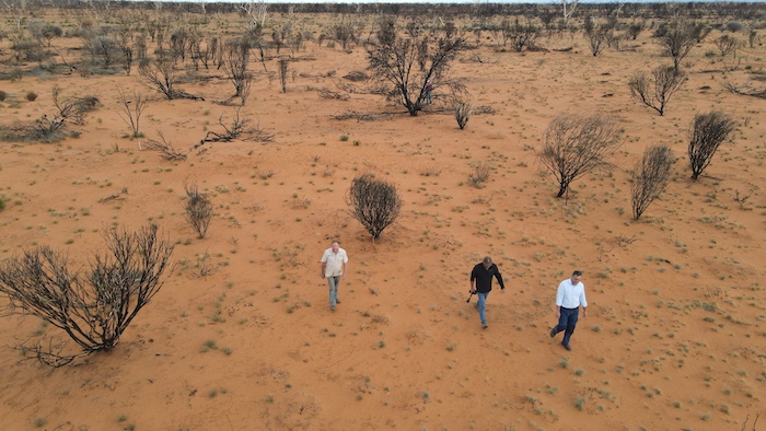
A major fire in May 2019 has totally devastated the Queen Victoria Springs Nature Reserve. It will be many years before it recovers.

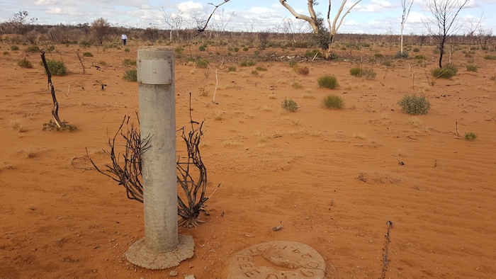
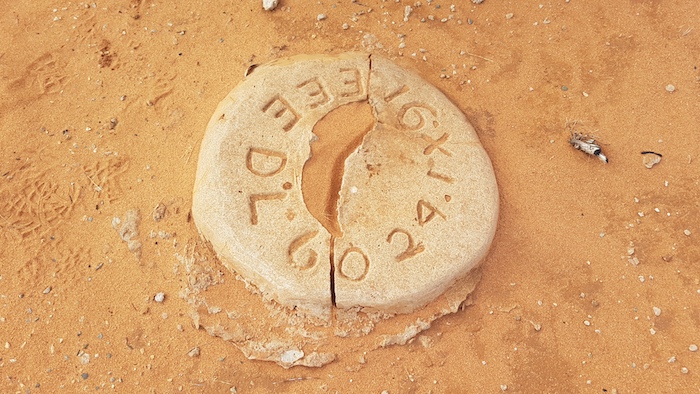
A tree was blazed by the Elder Exploring Expedition in 1891, 200 metres south of the pool. Today there is an inscribed plaque on a concrete post and nearby a ground marker where the tree once stood.

This plaque is engraved “E.E.E. D.C.L. 60 23.9.91” and was placed there by the grandsons of Victor Streich, the geologist on the expedition.

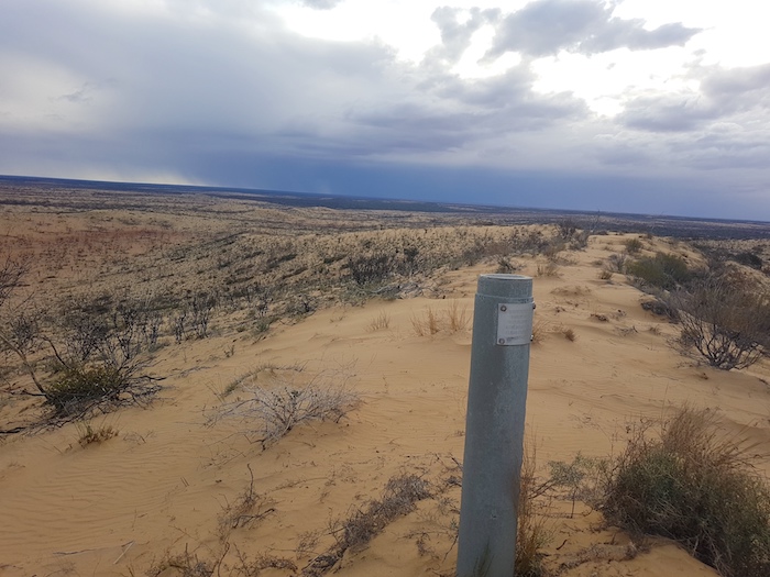
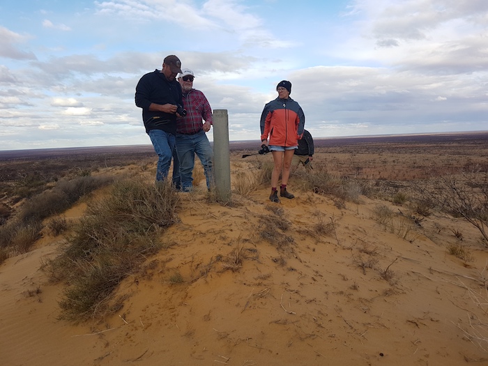
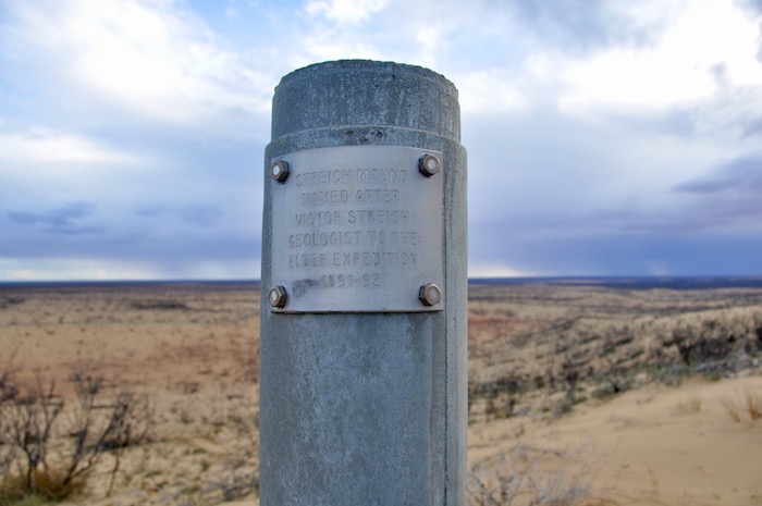
We left Queen Victoria Spring, heading for Streich Mound.

Attempts to drive to the top of the Mound were unsuccessful and we settled on the ‘carpark’  partway up.

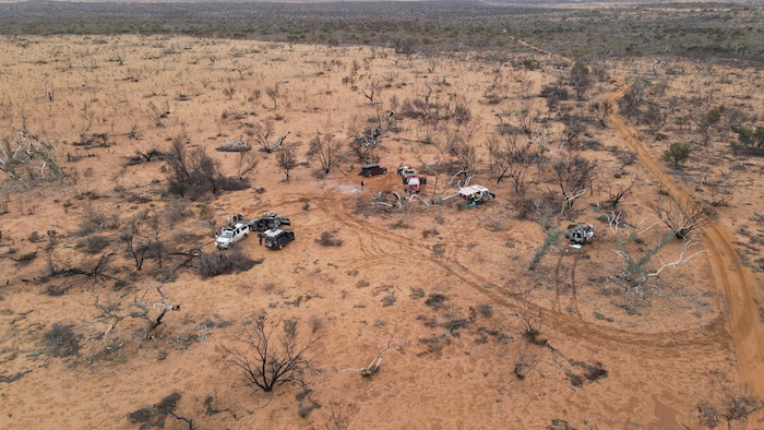
We left Streich Mound searching for a campsite. Everything on offer was burnt out. We passed the occasional patches of vegetation but no suitable campsites presented. The passage of time forced a barely adequate campsite on us – its main attribute being a reasonable supply of wood.

The pelting rain soon passed and we made a comfortable camp.

Day 5 – Near Queen Victoria Spring to Great Victoria Desert

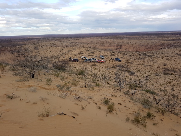
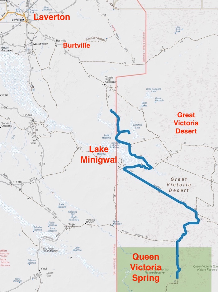
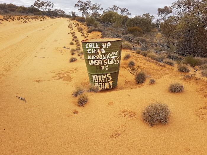
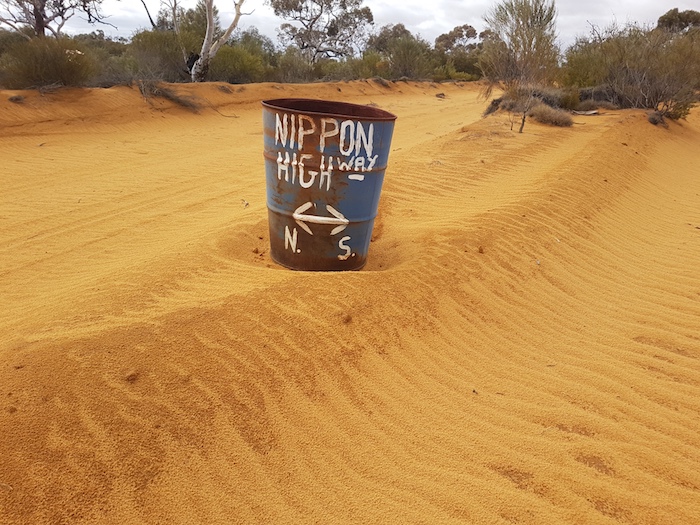
Our camp was less than 100 metres from a break in the dunes – the reason the track was routed where it was. As the track wound its way north this method was used more and more. There were deviations of up to two kilometres to get around the end of dunes running east-west. The track would then be routed in the swale until the next break was found. About 32 kilometres after leaving camp we arrived at Argus Corner and turned right onto the Nippon Highway.

After we passed Lindsay Lake, 25 kilometres north-east, there were numerous shotlines and other signs of mineral exploration.

A Japanese corporation, Power Reactor and Nuclear Fuel Development Corporation (PNC), explored for uranium here in the 1970s. It is now  run by  Vimy Resources as their Mulga Rock Project. It is Australia’s largest advanced uranium project with an estimated 15 year production life. The further north, the more signs of exploration activity.

The name of the track on which were travelling – Nippon Highway – and the one to which we were heading  – PNC Baseline – were derived from the Japanese activity in the 1970s.

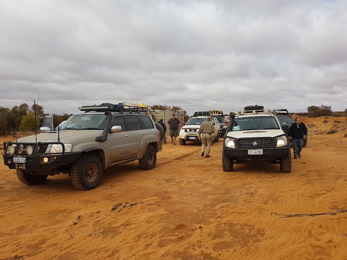
Vimy’s camp did not appear to be in operation and a locked gate across the track 22 kilometres north east added weight to that assumption. The arrogance of placing a gate across a public road with no advance warning is breathtaking. With only enough fuel to get to Laverton we had no option but to proceed forward. We couldn’t find the combination to the lock (we didn’t try the phone number reversed) and we didn’t want to interfere with the gate so Mushy found a way around it. Eight vehicles later it was a defined track.

Sixteen kilometres further along we came across the Tropicana Haul Road – a veritable highway leading to the Tropicana Mine 220 kilometres north-east of Kalgoorlie. This road provides easy access to Vimy’s camp which may have been part of the reason for the gate across the PNC Baseline.

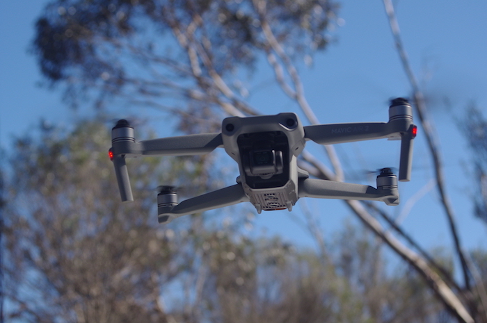
At the Tropicana Highway we had to again pick up the PNC Baseline. The roadworks did not make this easy. Mushy put up his drone and soon located a track. It appeared that a vehicle or two had been along the track reasonably recently (possibly early August from the info left in the visitors’ book at Queen Victoria Spring), however, not many other vehicles had been on the track for many years. It was very overgrown and damaged the fittings on our vehicles. It was to be 25 kilometres before it opened out.

The PNC Baseline approached Lake Minigwal and we stopped for lunch at the intersection with an un-named road skirting the lake to the east. Lake Minigwal trends from the north-west to the south-east for about 67 kilometres.  It contains numerous islands. It was originally named ‘Ainslie Fairbairn Lake’ by Frank Hann in 1907 after one of his friends but the name was never shown on maps.

In 1935 Donald MacKay, the leader of the MacKay Aerial Survey Expedition, named it Lake Minigwal after an aboriginal word for woodspear.

We were skirting Lake Minigwal to the east.

Eight kilometres further on we turned into Surprise Granite Rockhole. These were named by that indefatigable explorer Frank Hann in 1907 but he did not state why he was surprised.

Unprepossessing Hanns Jasper Hill, close to the difficult-to-see Stella Range and the not-seen Lightfoot Lake, was a bit of a disappointment. We didn’t go to nearby Granite Hill either.

Our camp this day was off the track just beyond the northern extremity of Lake Minigwal.

We were nearing the end of our desert visit and tomorrow we would be heading to Laverton and a tour of the north-eastern and northern goldfields.

Go to Outback Trek 2020 – Goldfields

Go back to Outback Trek 2020 – Dunns Track


© Cockburn 4WD Club 2020 and Kim Epton
Feel free to use any part of this document but please do the right thing and give attribution. It will enhance the SEO of your website/blog and this website.
1740 words, 40 photographs, 2 images.

Text and Layout
Kim Epton

Photographs
Kim Epton
Jane Dooley
James Hay
Michael Orr
Ray Dowinton

See Terms of Use

Outback Trek 2020 – Dunns Track

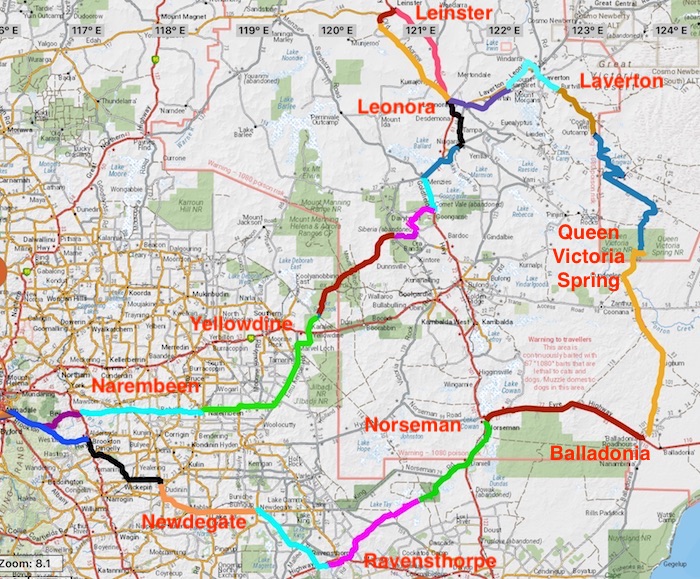
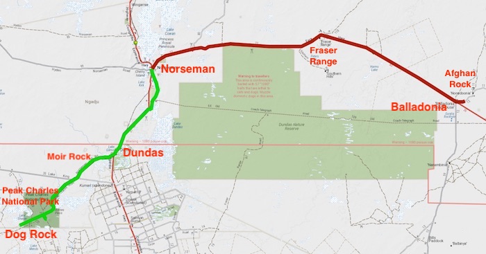
The Plan for the 10 day, 3200 kilometre Outback Trek was to travel Dunns Track from Cocanarup to Norseman, refuel there and head to Fraser Range from where we would drive to Zanthus, a siding on the Trans Australia Railway. We would then head north to Cundeelee, Queen Victoria Springs and Streich Mound. We would then make our way across Australia’s largest desert, the Queen Victoria, past Lake Minigwal and abandoned Burtville to Laverton. We would then tour through the Goldfields, arriving at Goongarrie, the start of the Gus Luck Track. This would bring us out at Yellowdine from where we would tackle the Mt Palmer Track on the way to Narembeen and Beverley, before arriving back in Cockburn.

We managed to follow the Plan – with a couple of variations – more closely than on most Trips.

A patch of bushland at the site of the long-abandoned hamlet of Wogolin was the meeting place for the start of the Trek. The crews rolled in, the light faded and the temperature dropped. More wood on the fire. Steve managed to clock up quite a few extra kilometres before he found the camp.

Day 2 – Wogolin to near Dog Rock

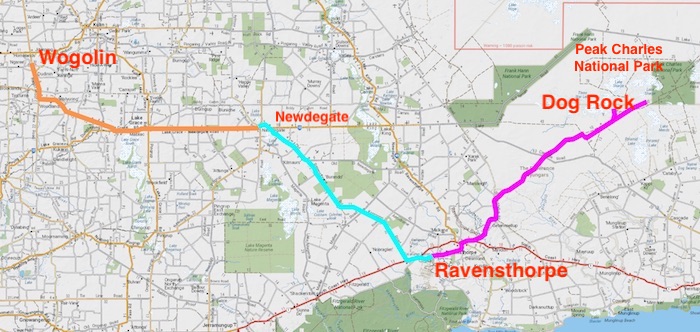
A seven vehicle convoy left Wogolin in the morning. We were to meet Brad and Jane at Newdegate at 9.00 a.m. The drive through the Great Southern was to get to the start of ‘expedition proper’ at Cocanarup, just short of Ravensthorpe.

We hit the South Coast Highway and six kilometres to the east we turned onto Cocanarup Road, heading to the start of Dunns Track.

A small sign pointed to John Dunn’s grave. The story of his death is surrounded by controversy. The narrative suggests that he was ambushed and speared by the local Nyoongars because he raped a young aboriginal girl. The narrative continues that his brothers’ retribution resulted in the deaths of up to forty Nyoongars. The truth of the tragedy will never be known.

Leaving the grave we crossed the Phillips River. Though tame at the time, inspection of the river bed downriver from the crossing point shows that it can have a massive flow and would indeed be an obstacle to anyone wishing the travel Dunns Track from Cocanarup in the wetter months.

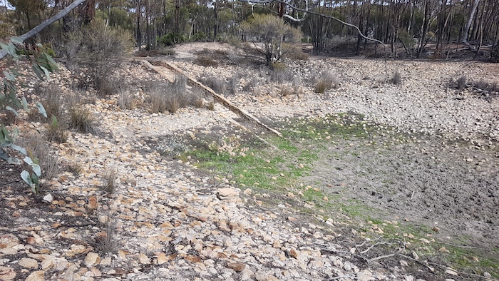
We continued about five kilometres through bushland. Partway along the stretch of bushland we came across a dam in a clearing. Difficult to understand its purpose.

Once through a ‘cocky’s gate’ it appeared that we were driving across paddocks instead of a track.

Ravensthorpe was our last chance to refuel before Norseman, 350 kilometres distant, and with 100 kilometres travelled since Newedegate most people elected to top up.

We headed out of Ravensthorpe, turned on to Carlingup Road and had lunch on the Track at a clearing just before the Jerdacuttup River. After lunch we took what was signposted as the Woodinup Track off Carlingup Road as I believe it more closely follows the original Dunns Track. Some doubted that we would be able to get through to Nindilbilup Road to enable us to get to the gate through the vermin proof fence but their fears were unfounded.

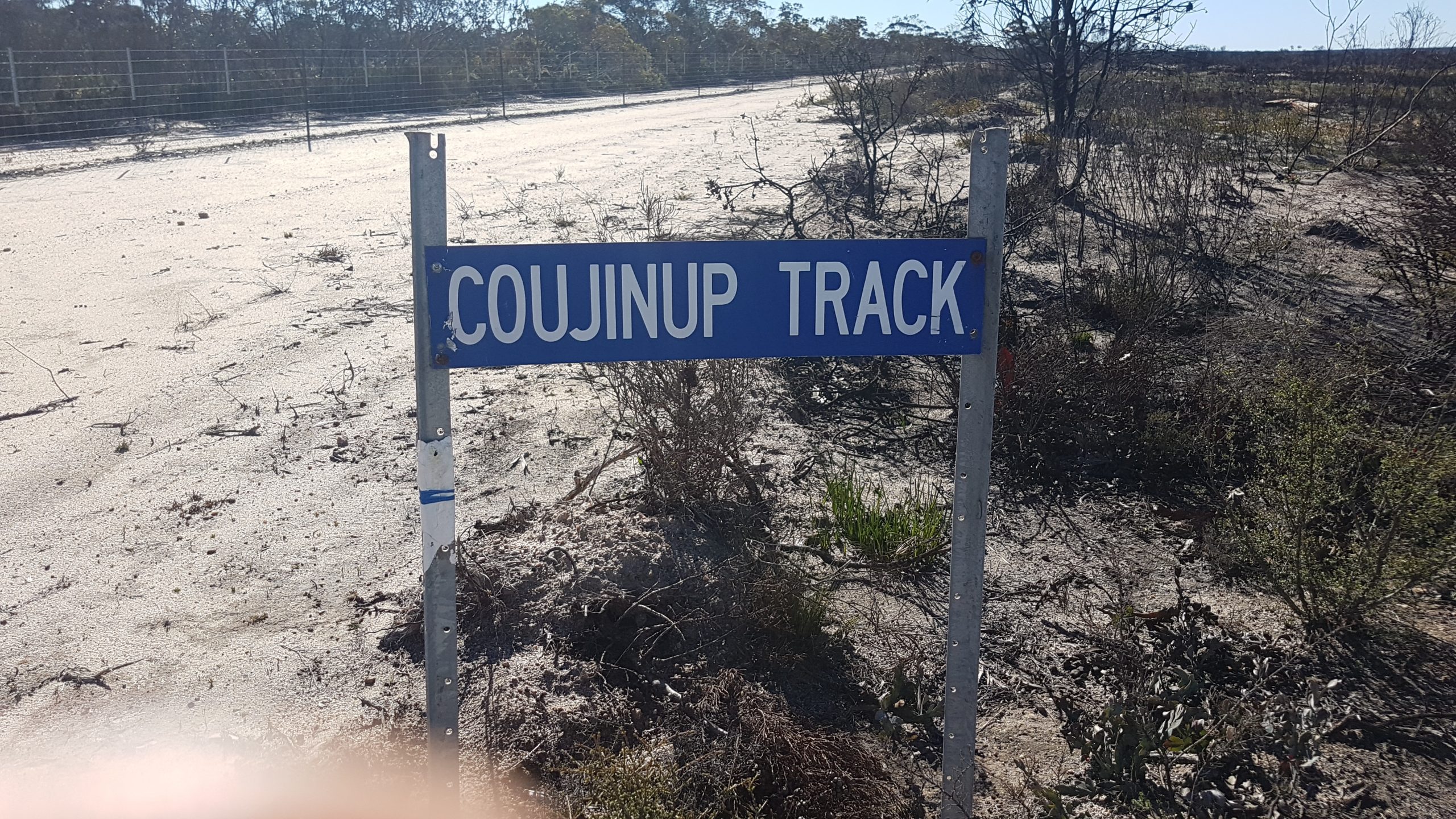
Through the fence Dunns Track has been given the moniker of ‘Coujinup Track’.


Eleven kilometres further on ‘the Coujinup Track’ diverted to the south-east and we continued on the singularly-titled Dunns Track to the north-east. The country had recently been ravaged by bushfire and was looking decidedly sad.

Two kilometres after Peters Soak we came across a boghole.

Just after Hewby Swamp Dunns Track crosses a shotline on the way to Northover Soak. Unfortunately the Track disappears around this point and we, like many others before us, had to return to the shotline, drive about two kilometres south-east and then turn left onto another shotline that parallels the original Dunns Track. A few weeks with a chainsaw might change the situation but we didn’t have the time.

We were looking for the track to Welcome Soak, north of our route. A suitable track appeared and we took it. This ‘road to nowhere’ actually took us to a desolate corner of Lake Tay. We speculated on its reason for being as it just stopped at the lake. It wouldn’t have been cheap to make and seemed to serve no purpose. Intriguing. This seven kilometre track had been rarely used (if ever), however, it was a fun drive with over 106 high speed bends.

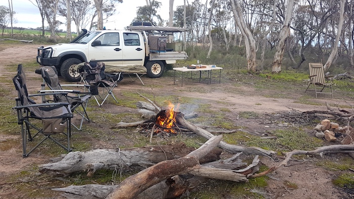
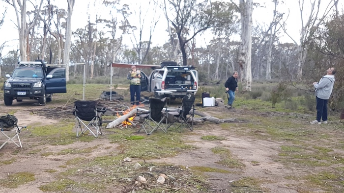
The sun was dipping towards the horizon and it was time to find a campsite. Fourteen kilometres short of the Dog Rock turnoff we found our temporary home for Saturday 8 August 2020!.

Day 3 – Near Rock Dog to Afghan Rock

Not long after we started our Day Three adventure the rain sheeted in as we drove to Peak Eleanora.

While on his 1848 explorations in the area, Surveyor General John S. Roe named Peak Eleanora after the wife of then Governor, Charles Fitzgerald. He also named nearby Peak Charles after the Governor.

We left Peak Eleanora and rejoined the main track. A kilometre further along we hit a series of bogholes. Just when we thought we were through the worst Brad’s Troopy, Steve’s BT50 and Paul’s Pajero dropped the left wheels into a deep rut and put the vehicles over at an extreme angle – all three were very close to rolling. Although Santohk’s Prado didn’t lurch over as much as the others it was still enough to give him an early morning wake up call. But the rain abated.

After that excitement the drive through Annes Pass to Peak Charles was anti climactic. The wind was still howling when we arrived at Peak Charles and it was as lazy as it gets. Our planned assault on the peak and the lookout at the top (about two hours return) was postponed for a future visit. Mushy put up his drone but was unable to summit.

The cairn on Peak Charles was constructed by Arthur Hewby and Guy May during their survey of the track in 1910.

Dunns Track and Peak Charles National Park are towards the southern edge of the Great Western Woodlands, a national treasure and world-wide significant forest.

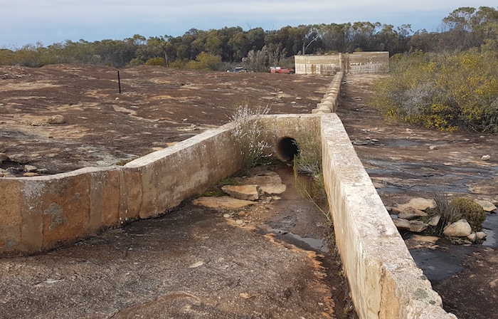
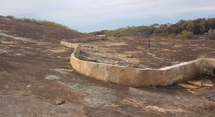
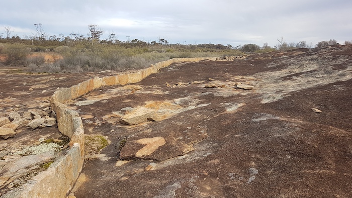
We pushed on to Moir Rock. After the disappointment of not being able to climb Peak Charles, a visit to this delightful place was a consolation. Great views, numerous good campsites, an interesting water harvest tank and a track that accessed everything.

Moir Rock is a hidden gem and would be preferable to camping at the over-used, DPaW campground at Peak Charles. The track  from Peak Charles to the Coolgardie-Esperance Highway is maintained in good condition and it was easy run to the bitumen. We stopped at Stennet Rock.

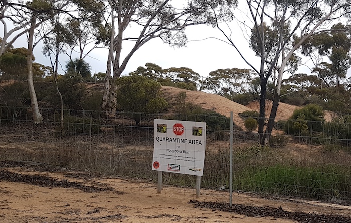
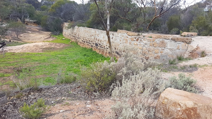
Although long since abandoned and falling into disrepair, the amount of work that went into the construction of the dam emphasises the importance of water supplies in this dry environment – before it was piped from the coast. A few kilometres further on, at McPherson Rock, the dam has been maintained. An outbreak of Noogoorah Burr next to the dam was quarantined.

We turned off the Coolgardie-Esperance Highway to the abandoned town of Dundas. Little remains of past glory days. It is an abandoned gold mining town 22 kilometres south of Norseman. Although all buildings have gone, the layout of the streets can be seen and occasional signs provide detail on the town.

The approach to Norseman signalled the end of Dunns Track.

Over the past months with no community spread of Covid19 the relaxed, even casual approach to the virus in Western Australia was noticeable – but not at Norseman! Situated at the end (or start) of the Eyre Highway the town is acutely aware of its ‘frontline’ status in the battle to keep the virus out of WA.

Norseman provided the opportunity to have a shower and briefly play tourist.

Go to Outback Trek – Great Victoria Desert


© Cockburn 4WD Club 2020 and Kim Epton
Feel free to use any part of this document but please do the right thing and give attribution. It will enhance the SEO of your website/blog and this website.
1640 words, 47 photographs, 3 images.

Text and Layout
Kim Epton

Photographs
Kim Epton
Jane Dooley
James Hay
Michael Orr
Ray Dowinton

See Terms of Use

Mt Jackson Gold Prospecting

Mt Jackson goldfields is in the Yilgarn, 70 kilometres north-north-west of Koolyanobbing and adjacent to the Mount Manning Range Nature Reserve.

Gold was discovered in 1894 and a few small mines were developed shortly after.

The reefs were small, some rich, all at a shallow depth. A lack of water and battery facilities hampered development, and no mine was large enough to warrant the investment to resolve the issues. Little of the ore raised was actually crushed, and gold obtained. The goldfield slowly died. It revived briefly during the Bullfinch speculation bubble in 1910-1911, but after that it reverted to a prospecting area. More information.

The Club’s Road Trip in July 2020 covered a lot of territory. No gold was found but plenty of places were visited, sights seen, adventures experienced, and good company enjoyed.

Murchison River Expedition 2020

Heavy rain from Tropical Cyclone Damien caused the Murchison River to flood in early February. At Mt Padbury, 706 kilometres upstream from the mouth at Kalbarri, the river was as big as the record flood of 2006 caused by TC Emma. The difference with this event was that because Damien brought rain only as far west as Berringarra the amount of water in the river downstream would not be as much as in 2006 – with the bonus that the roads west and south of Milly Milly would be dry and accessible. Good news for the Support Crew ‘chasing’ the boats.

The plan was to leave Cockburn on Thursday afternoon, travel to Pithara, camp the night and continue to the river the next day. North through Cue and on to Berringarra Station to find where would be the best place to launch the boats. The plan was for the Support Crew to follow the boats to Minnawarra Crossing –an on-water distance of about 100 kilometres, depending on the start point. The next day was planned for the on-water expedition to reach Ballinyoo Bridge – a distance of about 82 kilometres.

As per usual on these types of trips the reality was somewhat different from the planning.

We arrived at Beringarra Station mid-afternoon on Friday 21 February and on advice from the station manager, travelled upriver towards Kalamunda Pool, about 20 kilometres to the east. Past cattle yards east of the homestead the track was difficult to follow, however, we were able to drive along a fence line heading generally in the required direction. Two attempts to find a way down to the water resulted in boggings both times. The entire country had been underwater only four days previously.

It was getting late so we decided to camp where we were – about five kilometres upriver from the station homestead. As matters transpired the next day it was fortunate that the Boat Crews did not start here – or further up – as this stretch of the Murchison River is very much a ‘braided stream’. A multitude of channels from which to choose, one indistinguishable from the next, some leading nowhere, others joining up, some shallow, others with sufficient water, together present a serious challenge to navigation.

The flies, mosquitoes and other bugs, combined with high humidity made for an uncomfortable night.

Very early the next morning we headed back to the Mt Gould Road Crossing where we were confident we could launch the boats.

Getting to the river was a challenge. The floodwaters had destroyed the road in one 50 metre section. The nearest we could get to the water was only about 200 metres. The boats were prepared and the crews dragged/walked to the main stream flow.

The Murchison River Expedition 2020 was off and running, 576 kilometres upstream from the mouth at Kalbarri and 46 kilometres further upriver than our previous record start.

The Support Crew moved to the first rendezvous at Milly Milly Crossing. This was on a side channel of the main river.

The entire Support Crew got out their camp chairs and sat on the crossing in the water, cooling off, waiting for the arrival of the boats and crew.

The boat journey was short lived. The crew were having a very difficult time finding the river proper. The myriad channels in this highly braided section of river all got too shallow, too soon. It quickly became untenable.

A sat phone message revealed that the Boat Crew were returning to the start point on the Mt Gould Road. They had navigated only three kilometres before the lack of water and confusing channels necessitated a return.

The Support Crew returned to the Mt Gould Road Crossing and retrieved the boats and crew.

The Expedition moved to Milly Milly Crossing where the boats were re-launched upstream with the intention of getting through to the main river.

Meanwhile the Support Crew drove to the Byro-Beringarra Road Crossing (the main channel of the Murchison) to confirm they could access the river. The issue was that while the boats could set off downriver from the Milly Milly Crossing channel there was no assurance the they could join the main river. It was way more preferable that they be launched into the main river (at some point upriver from the Milly Milly Crossing but downriver from the Mt Gould Road Crossing) and it was imperative that the Support Crew vehicles could get to the Byro-Beringarra Crossing to refuel them.

Aaron headed out from Milly Milly Crossing to confirm that he could navigate the seven kilometres to the main river. A short time later a radio message came through that he was bogged and was self-recovering.

The remainder of the Support Crew moved up to his location to help with the recovery. After varying opinions on the best way to extricate the vehicle it was decided to tow it out backwards.

The team carried on to the main river, confirmed access, and then returned to Milly Milly Crossing to await the arrival of the Boat Crews. The Boat Crews had radioed through that they couldn’t find a way through to the main river and would have to return to Milly Milly Crossing.

The boats were retrieved from the water at Milly Milly Crossing, loaded on the trailers and taken upriver to Cadjacootharra, a possible checkpoint identified in the planning stage of the Expedition. Earlier in the day Mushy had driven into the point and found it to be suitable for launching the boats. The new launching point for tomorrow was decided! And because it was so late in the day, the location of the campsite for the night self-selected.

The boats were offloaded at the river’s edge and tied to trees. The campsite was about two hundred metres to the south, just off the Byro-Beringarra Road.

A storm cell hit before we had a chance to set up camp. Lightning and thunder had been all around for 20 minutes. The ferocity of the storm was amazing. The temperature plummeted. Water was pouring off awnings. Anything not undercover was drenched. The flies persisted.

Some of the crew took the opportunity to have a wash or even a full on shower.

Next morning there was little evidence of the previous night’s downpour.

The ever-present, clinging bush flies were annoying in the extreme but could not detract from the accomplishment of putting power dinghies on a wild river 556 kilometres into the outback in extreme conditions (40+degrees, 98% humidity). Twenty six years after the first bold attempt, and six subsequent forays, the challenge is there for anyone else to surpass this achievement. I’m confident that any other power boating trips on the Murchison will be restricted to ten kilometres upriver from Kalbarri!

The Support Crew moved down to Byro-Beringarra Crossing to refuel the boats coming downriver from Cadjacootharra.


The boats were refuelled and a new coordinate was entered into the GPS. The crews were given strict instructions not to go past Manfred, 42 kilometres downstream. The inability of the Support Crew to get through to the boats, for any number of reasons, was a potentially serious issue.

The Support Crew followed station tracks south that would lead them to Manfred. A well-constructed fence blocked the way, forcing an unwanted deviation to the east to the Pindar Road.

Rains from the storm cell last night had extended many kilometres to the south and the runoff from the high ground to the north-east made travel along the fenceline treacherous.

A six kilometre deviation brought the Support Crew to the end of the fenceline. A quick dash through a recently-flooded creek got all vehicles onto the Beringarra-Pindar Road. It was then a 65 kilometre drive to the Manfred Road turnoff and a 35 kilometre drive into the river – if the rain from last night’s storms hadn’t washed out the track.

After ten or so kilometres I decided that it wasn’t wise to send all vehicles in to Manfred without knowing for certain that the track was open. We stopped, set up an awning and waited for information from the Boat Crew. Mushy headed off to find a way through to the river at Manfred. Fuel for vehicles was becoming an issue and I wanted to avoid unnecessary travel. A sat phone message came through from the Boat Crew advising that they had reached the rendezvous point at Manfred. Some time later another message confirmed that Mushy had got through. The remainder of the Support Crew were then able to confidently head to Manfred.

On arrival at the station it was revealed that the boats were still two kilometres away from the point the vehicles could reach on the flooded track. However, Steve was able to navigate the boats through some minor channels to get to where the Support Crew was waiting on the flooded track.

It was very hot and very humid. Eventually the boats were loaded and equipment secured. ready to head off.

The remaining range of the vehicles was a concern. The nearest fuel was at Mullewa, 186 kilometres distant. Steve was carrying jerry cans of diesel and was able to share it around before we headed south towards camp.

Camp was a clearing off to the side of the road. The flies were as bad as ever.

In the morning while re-inflating tyres road pressures Steve noticed he had a slow leak, caused by a staked sidewall. As soon as the wheel was changed the long journey home began.


Feel free to use any part of this document but please do the right thing and give attribution. It will enhance the SEO of your website/blog, and this website.


Text and Layout © Cockburn 4WD Club 2020 and Kim Epton 2020
Photographs Michael Orr, Kim Epton
2200 words, 73 images.

See Terms of Use


Lucky Bay Coral Coast

Australia Day 2020

Lucky Bay is 18 kilometres north of Port Gregory and 37 kilometres south of Kalbarri at 28° 3’1.13″S 114° 9’57.02″E. At 550 kilometres north of Perth, the trip will take about six hours.

The Shire of Northampton has established a quality and affordable campground there.

Access is off George Grey Drive. Turn on to Balline Road (dirt) and drive 4.5 kilometre to the Ranger Station. The ‘Lucky Bay’ directional sign on George Grey Drive needs to be a LOT bigger.

The cost of camping is $15 per vehicle per night and there are literally hundreds of bush campsites – some better than others. We found a beautiful site replete with 100 m2 of grass and somewhat protected from the wind.

There are plenty of modern, well maintained ‘long drop’ toilets conveniently located throughout the campground. Skip bins for rubbish are everywhere. All-in-all it is a well serviced, basic campground that will appeal to people looking for a minimalist stay on the coast. The staff are very friendly, helpful and accommodating.

No shops, no noise other than the wind and the sound of waves crashing onto the beach, intermittent and erratic phone connectivity only, easy access to a beautiful white, safe swimming beach and a fringing reef enclosing pristine waters, acres of exciting dunes to explore immediately adjacent to the campground, and 4WD access on the beach north for 20 kilometres and south for 35 kilometres.

Fourteen people in nine vehicles journeyed to this idyllic spot for a break ranging from a week to three days surrounding Australia Day.

Tyres need to be deflated to 20psi (or less) and 4WD engaged to get to the beach (campground rule – and a necessity).

The fringing reef is only 80 metres offshore and runs two kilometres to the north where it connects with the beach. At this point one can walk onto the reef and, with due regard to the tide, safely and easily harvest delicious oysters that couldn’t be more fresh, or just wonder at the myriad marine life that spreads hundreds of metres to the south.

Boating, Snorkelling, Reef Walking at Lucky Bay

The protected lagoon was only only a two kilometre drive on sand tracks from our campsite.  Matt had set a craypot when he arrived on Monday but we decided to relocate it. The substantial wind-whipped waves inside the reef made it a tricky operation, particularly once the counter-balancing weight of Matt and the pot went over the side of the dinghy.

Exploring the Lucky Bay Dunes

Pristine white sand dunes extend north-south for nearly a kilometre only 50 metres back from the beach.

To Kalbarri Along the Beach

The beach was impassable 19 kilometres north from Lucky Bay so we took to the dunes that parallel the beach for most of the way, in the hope of finding a way through.

Some of these dunes are quite high and steep.

Matt did a great job in scouting a way through the myriad dead ends and drop offs.

Some dunes were higher than others.

We eventually exited from the dunes onto a dirt track that leads to the Natural Bridge, the southernmost of the spectacular coastal gorges south of the town of Kalbarri.

Kalbarri Gorges

Some took the opportunity to visit the Kalbarri Gorges. It was very hot – mid forties. The Loop Walk at Natures Window was closed because of the heat.

South to Broken Anchor Bay

On Australia Day itself we headed south along the beach, intending to go past Port Gregory as far as we could.

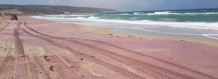
Approaching Broken Anchor Bay the beach sand was tinged red. This is caused by garnet from the nearby mine.

The GMA garnet mine near Port Gregory was started 35 years ago and has since developed into the world’s biggest and most advanced garnet mining and processing operation. The dune sands near Port Gregory contain the highest quality garnet available anywhere in the world.


After 28 kilometres, at Broken Anchor Bay, rocks block the way south. We returned to the mouth of the Hutt River and found our way out to the Port Gregory Road. Tyres were re-inflated for the drive to the Horrocks dunes. We found an entry point into the dunes five kilometres before Horrocks, pulled in to a gravel clearing, aired down and drove up onto the dunes.

Little Bay

We spent some time trying to find a way out of the dunes onto the beach – eventually coming out close to Little Bay campground, four kilometres north of Horrocks.

After lunch we drove north-east along the beach until our way was blocked by the Menai Hills.

At Horrocks we aired up and returned to Lucky Bay via the bitumen, calling in at Port Gregory Pink Lake along the way.

Pink Lake at Port Gregory

Lynton

On the journey home we stopped at Lynton.


© Cockburn 4WD Club 2020 and Kim Epton 2020
Feel free to use any part of this document but please do the right thing and give attribution. It will enhance the SEO of your website/blog and this website.
1300 words, 63 photographs.
See Terms of Use

Bilbunya Dunes

Cockburn – Norseman – Twilight Cove – Baxter Cliffs – Bilbunya Dunes – Israelite Bay – Cockburn


Five people in three vehicles from the Cockburn 4WD Club travelled from Perth to Cocklebiddy and through to Israelite Bay returning to Cockburn in early October 2019.

We drove through the Great Western Woodlands, past Norseman and headed east on the Old Coach Road to Cocklebiddy on the Eyre Highway. Then south to Twilight Cove and across to Toolina Cove, the only break in the Baxter Cliffs – the world’s most spectacular!  Nuytsland Nature Reserve is as remote as it gets in WA. We followed the historic East-West Telegraph Line to the Wylie Scarp and dropped down to the amazing Bilbunya Dunes. The wide, white beach fronting the wild Southern Ocean leads to a series of claypans that provided some great four-wheel driving through to Israelite Bay.

Wednesday – Day One

We met at Karagullen service station at 3:00 p.m. Brad, Craig and Matt had worked earlier that day and I had spent the day preparing the vehicle for the trip.

We wanted to travel as far as we could today to make it easier for the rest of the trip. We headed east to Hyden, had a short break and kept moving eastward.

With a few more stretch breaks we stopped around 9:00 p.m. on reaching Lake Johnston. We set up camp, had dinner, a few beers and not long after went to bed.

Thursday – Day Two


Waking up to the sunrise overlooking Lake Johnston was a nice treat for the first morning. 

 After we had breakfast we backtracked a few kilometres to McDermid Rock.


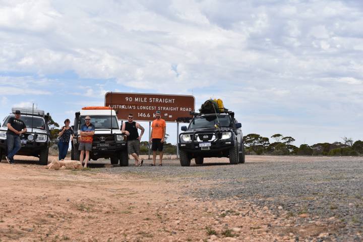
On the way to Norseman we stopped at Lake Cowan lookout. We refuelled and resupplied at Norseman and headed for the 90 Mile Straight.


Capstan Cave is marked on the map as being just off Eyre Highway. Stepping below ground level it felt like an air conditioner. The cool air from the cave had been travelling through tens of kilometres of caves in the area.


After a little bit of exploring we continued on to Cocklebiddy on the last bit of bitumen we’d be driving on for the next four days. Cocklebiddy is the last fuel and supply store for the next ~600 kilometres.

We reduced tyre pressures from highway pressure to make it more comfortable for the tracks to come.

All aired down and ready to go

From Cocklebiddy we headed south to the Baxter Cliffs – a good few hours. Access to the beach was rough and required low range 4wd. A few rocky and rutted sections made for some great video footage.

Once on the beach we could see Twilight Cove at the base of the Baxter Cliffs – an invitation for some iconic photos of the vehicles under the edge of the cliff.

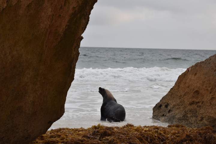
Craig and Tania spotted a seal sunbaking behind the rocks. Craig was lucky enough to get a few photos of it.

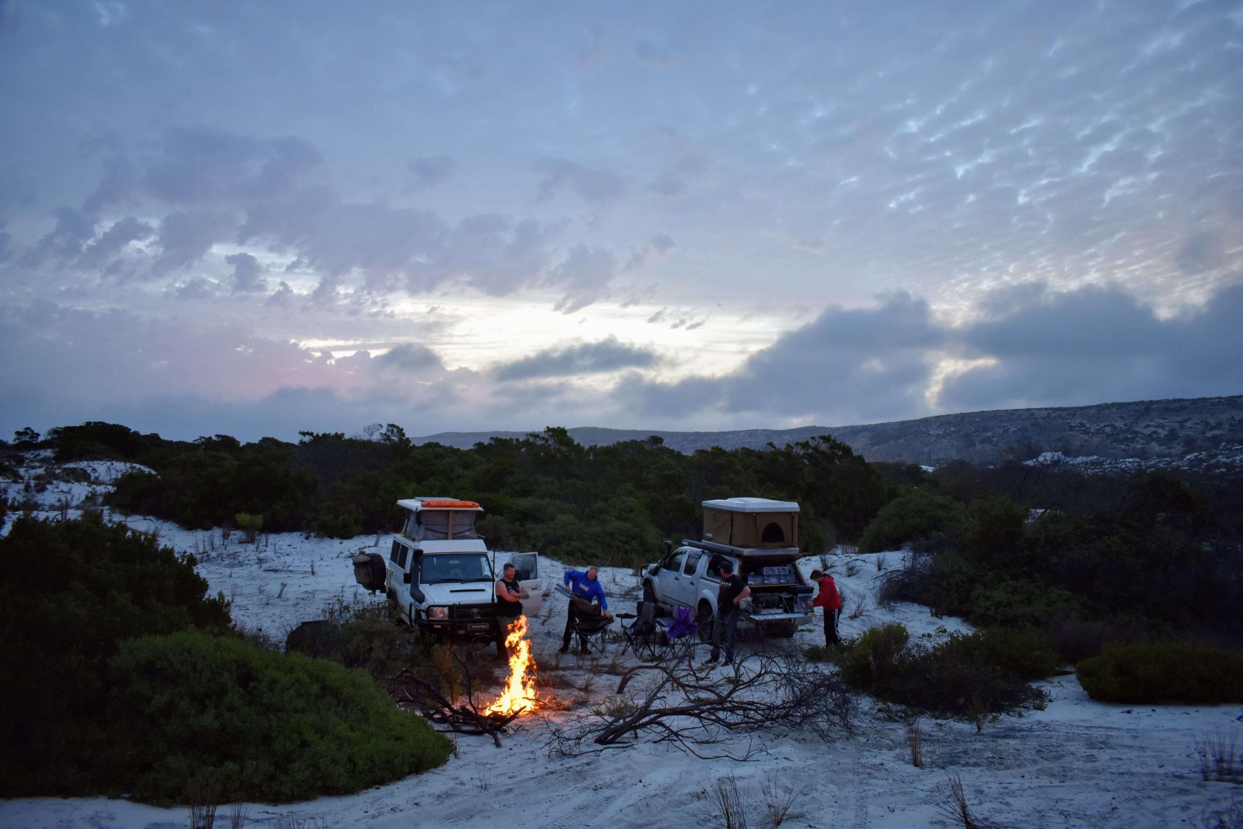
It was getting late so we decided to find a camping spot. The wind was intense – quite usual in this part of the world – and we searched the dunes for somewhere protected to camp. It was not long before we found a decent, protected campsite. The surrounding area with a high tide would well be underwater. If a high tide had come we would be stuck on the small rise we were on. The tide wasn’t due to turn for a while so we were safe.

Friday – Day Three


Waking up to the sound of waves crashing on the beach is always a comforting feeling. We packed up our campsite and took the same track we came down yesterday and then headed toward Toolina Cove. 

The tracks were quite clear and hard from recent use – the long weekend was only the previous weekend. 

We followed the Telegraph Track along the top of Baxter Cliffs. Every now and then relics of the original Telegraph Line were noticeable, including the telegraph line itself, much thicker than fencing wire. This follows the entire length of the coast and not long ago kept Western Australia in contact with the rest of the country, and the world.

This day we visited Baxter Cliffs and Baxters Memorial. We found the hidden cache and inspected the pile of business cards left behind. We left a note from Cockburn 4WD Club. It was nearing midday, so we stopped to have lunch at Baxters Memorial

Afterwards, we continued west through the tracks towards Toolina Cove. The day was overcast and we managed to get some great photos, but they didn’t do justice to the scene.

It was blowing a gale. About five kilometres further on we found a nice protected area to camp for the night. 

A big lightning storm was off in the distance. Luckily we received only a light drizzle. It felt like we were surrounded by storms that night, however, nothing touched us.

Saturday – Day Four

On Saturday morning the sky had cleared so we went back to Toolina Cove to see if we could get some better photos, and we certainly did!  The sun and the clear sky really set the stage. We got some magnificent shots. The sun was gleaming off the sea and the cliff edges allowing us to clearly see the ropes and ladders once used to supply the area for the crew.

Matt noticed some fish that looked to be about 1.5 metres long, resting in the calm waters below.

EDGE OF AUSTRALIA

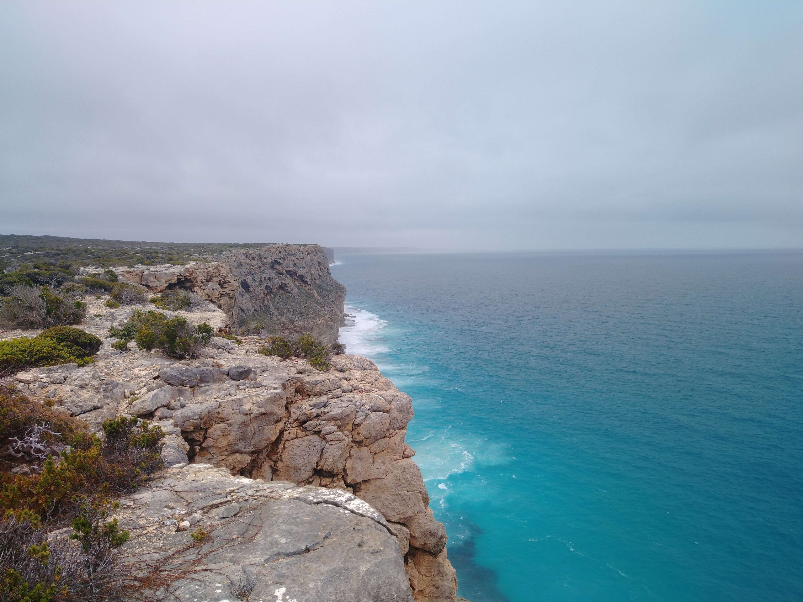
We drove along the cliff edge for half the day. It was a rough drive along a rough, rocky track. We couldn’t get above five kilometres per hour in most sections but the magnificent view made it well worth the drive. There are not many places in Australia where you can drive a vehicle along the edge of a cliff. 

In some sections the edge was only five metres away from the track, with a 50+ metre drop to the ocean. This truly is a once in a lifetime drive and experience.

Pieces of old telegraph poles are still visible and I noticed a few while driving. The original ceramic insulators are scattered along the length of the track.

Slowly the landscape changed from harsh cliff rocks to red dusty tracks to limestone. Once on the limestone, patches of white sand appeared – a sign we were nearing the beach and getting closer to the dunes. Once we reached the peak of the descent we stopped to set up the cameras to record the vehicles going down to the beach. Conveyer belt has been laid out to make it easier for travellers heading back up this steep hill. This descent was great with some challenging sections.

Once on the beach, we headed to the scarp on the eastern side, the western side of the Baxter Cliffs. W took a few photos under the cliff edge to mark that we have travelled from one side to the other.

Matt noticed a pod of whales cruising west in the water,. Unfortunately, we did not get the cameras out in time.

We all reduced our tyre pressures again for the 50 kilometre beach run. I reduced mine to 10psi. This is the lowest I’m comfortable with while travelling at speed. It’s easier on the vehicle and helps with the fuel economy. Also, I feel it’s highly unlikely I’d get stuck at 10psi.

We continued along the beach to the start of the Bilbunya Dunes and pulled in to have a look around. We had some fun driving around some of the smaller dunes. Around the backside of the start of the dunes we found some open salt pans. Of course we drove around and got the vehicles a bit dirty.


While out having fun I heard Brad on the radio calling for help as he managed to get bogged. Albeit he was in 2WD at the time. Matt and I arrived and determined we could do a snatch recovery. While we set up, Craig got the cameras out to record the recovery. I purposely went slow on the first pull to show that aggressive recoveries are not always required but it didn’t work and he was still stuck. The second attempt was a small nudge and the shunt was big enough to pop it straight out.

We travelled further west along the beach following the dunes when we noticed possibly the largest dune in the area so we decided to stop and investigate. Brad and Craig climbed the dune to get a few photos with the vehicles in the background.

We planned to camp at Wattle Camp that night. We exited the beach and headed through the mud plains and salt lakes to get there. This sign assured us we were on the right track.

As we got closer to the campsite we noticed the bush was changing from being thick, green and lush to burnt-out desolation. Recent lightning strikes in the area had burnt it out. As we drove through the entrance to Wattle Camp it was clear this was not going to be a suitable campsite for the night. The burnt-out shrubs and trees were not enough to block the wind and protect us from the elements.

Remains of Wattle Camp

We drove on till we found a nice culvert with enough cover to protect us from the wind. This ended up being a very good campsite with a nice sized area for the campfire. The camp shower was set up and we all enjoyed a refreshing wash after a few days of solid driving.

Sunday – Day Five

With breakfast done we packed up and continued to head west, en route to Israelite Bay.

We pulled up to the old jetty and took in a few of the sights around the Bay – the Jetty, the Shack, the Telegraph Station, and a few of the grave sites.

While exploring we met with Doug from the Shack and had a great chat with him, too. His family own the 100 year lease of the Shack and the five acres surrounding it. He and his family were there for the week enjoying some fishing. The original outpost is still there and is in rough condition. With Doug’s permission, we walked through their camp to inspect Cooks Cottage.

The Jetty

It was disappointing to see the amount of graffiti and purposeful destruction throughout the Telegraph Station. Someone has spray-painted a message to these people on an old, corrugated water storage bin. “Are you a vandal or just a fool who defaces old buildings“.

While in this area, we ran into Ronny Dahl from 4Wheeling Australia. He was running a ‘tag-along tour’ with ten other vehicles. We had a quick chat with him, updating him on the tracks and conditions ahead and advised of the weather we had experienced. His ‘tag-along tour’ was doing the same trip as us but in reverse.

From Israelite Bay to the exit of Cape Arid National Park there are mudflats, mud holes and many fun obstacles along the way. This was a wet drive with a few deep holes. Brad went through a mud hole again in 2WD and got stuck. This time we used a winch for the recovery. Craig set up the camera to record it. Within minutes we had Brad out and continued on.

The fresh overnight rains in the area made the drive through the clay pans interesting, Slipping and sliding our way through these areas was great fun.


We exited the National Park and took some photos while inflating our tyres. From here we travelled to Condingup, the first service station since we turned off the road at Cocklebiddy. We refuelled, resupplied and ventured towards Cape Le Grande National Park to seek out some overnight fishing spots. The beaches here are magnificent.

En route to Cape Le Grande National Park

Little was caught – Craig caught a small Snook – however the scenery was great. A successful fishing trip!

We finished our overnight fishing and continued on to Esperance. From here I separated from the crew and continued to Albany to pick up our Labrador puppy. The rest of the crew stayed cruising the beach of Esperance for the day. They began their return back to Perth the next day.

And so ended the Cockburn 4WD Club’s 2019 trip to the Bilbunya Dunes.


© Cockburn 4WD Club 2019 and Paul Marriner
Feel free to use any part of this document but please do the right thing and give attribution. It will enhance the SEO of your website/blog and that of the Cockburn 4WD Club.
2115 words.
129 photographs © Craig Dixon

See Terms of Use

Spinifex Range and Hunt Pinnacles

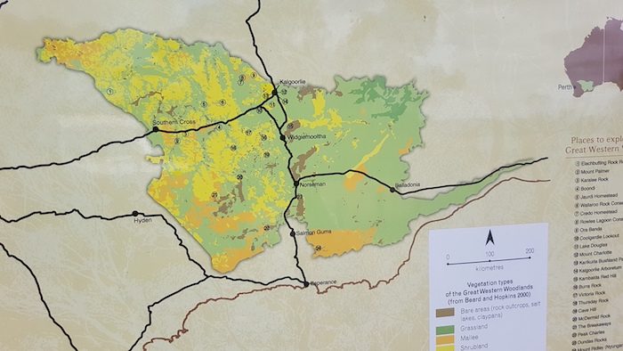
The two most easterly parts of the Hunt Track – Southern Cross to Kambalda and Kambalda to Spinifex Range and Hunts Pinnacles – are entirely in the Great Western Woodland. It was the setting for another great Road Trip.

Surveyor C.C. Hunt explored by horseback to Spinifex Range (140 kilometres east of Kalgoorlie) in 1866 and also to what he called Three Pinnacles (now Hunt Pinnacles) 100 kilometres north-east of Kalgoorlie.

Given the limited resources available to him, the unseasonally dry conditions and the remoteness from the settled areas, his achievement in pushing so far east into essentially waterless country was remarkable.  Though remarkable, the realisation that the country was waterless, coupled with the afore-mentioned limiting factors, lead to the abandonment of the goal of finding a path through to the eastern colonies.  His 1865 and 1866 expeditions concentrated on locating pastoral land.

Our Road Trip was to follow, as much as was feasible, Hunt’s 1866 peregrinations on the Hampton Plains.

The Great Western Woodland is the largest intact mediterranean woodland on the planet.

Yerdanie to Prince of Wales Mine

The Yerdanie turnoff from Great Eastern Highway can be difficult to see. It is at 31°10’16.28″S 120°33’55.03″E.  This track is part of the Hunt Track from Woolgangie to Yerdanie.

Our six day Road Trip to follow the Hunt Track to his furthest east – in the Spinifex Range, 140 kilometres east of Kalgoorlie – started on Wednesday  11 September 2019.

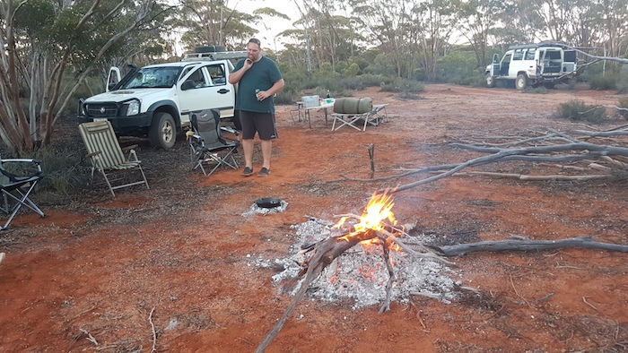
Heading east it gets darker earlier (here’s why) and the light was fading so I pulled into a known camping area near the Prince of Wales (abandoned) mine. Plenty of space and plenty of firewood.

Prince of Wales to Gnarlbine

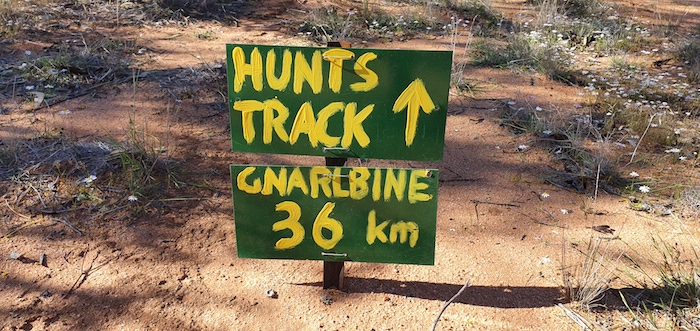
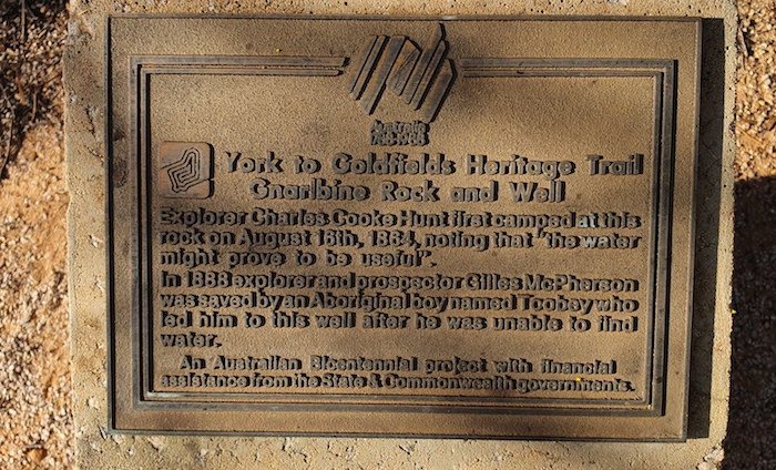
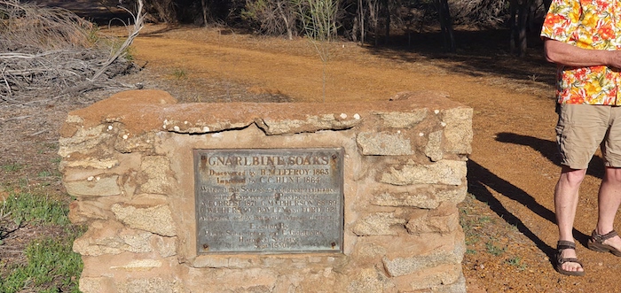
We drove east to Gnarlbine – an uncomplicated, easy run. Gnarlbine Soak was an extremely important source of water for prospectors in the 1890s and even after Coolgardie was established it was a vital resource until condensors were constructed, and the Mundaring to Kalgoorlie pipeline was eventually put through in 1903.

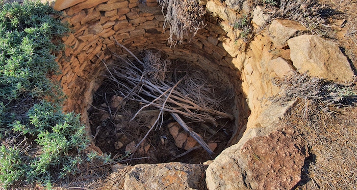
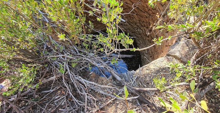
At Gnarlbine we searched for a known, second well, 200 metres SSE of the main well. The scrub is extremely thick in this area and previous searches had been unsuccessful. After I described the general area where I expected the well to be, Aaron found it within minutes. The well is accessible from an open gravel area just south of Gnarlbine Rock. A path leads to the well at 31°9’18″S 120°57’32.26″E. [A photograph of the access track taken after this Trip is here].

Gnarlbine to Kambalda

We drove out to Victoria Rock Road and headed north of Gnarlbine Rock, searching for a track east that would lead to the Nepean-Spargoville Road. After a couple of false starts we found a track that followed a long since abandoned railway.
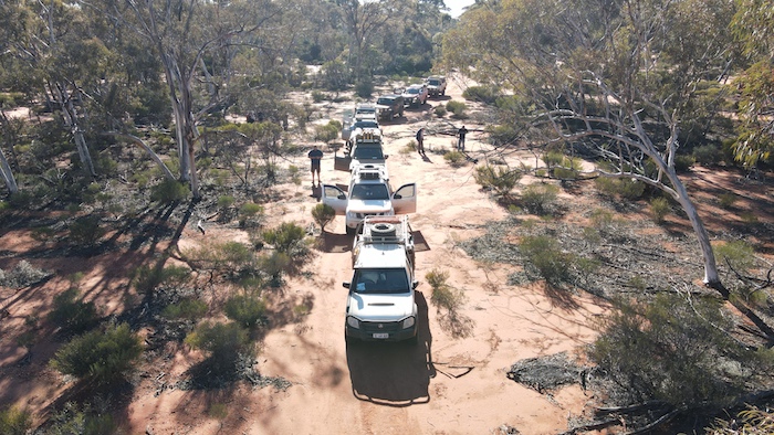
This track leads to the abandoned Nepean Mine.

The Nepean-Spargoville Road took us to the Coolgardie-Esperance Highway which we followed to the turnoff into Kambalda.

At Kambalda we visited Little Industries. Their rock crushing operation supplies railways, mines and roads throughout the goldfields and beyond.

Kambalda to Cardunia Rocks at Karonie

Leaving Kambalda, we headed to King Battery.

Our route took us through Woolibar Station  to Mount Monger Station where we had lunch and waited for Scott Wilson to join us for the drive to Hunt’s furthest point east.

This was a chance to tour some of Scott’s prospecting/mining leases, past and present. The view from Bordenkoobing Hill was impressive. We headed north and had to do a bit of cross country driving searching for the track before Scott was able to pick it up again and get to the Trans Australia Railway access road near Curtin Siding.

It was then a long push along the access track to Karonie. We crossed the railway and followed the track north to Cardunia Rocks. The ‘camping area’ looked to be pretty well picked clean of firewood so we moved 750 metres north-east to a clearing replete with wood.

The threat of rain as we set up camp became real just before dusk, however, it lasted less than a minute.

Karonie to Hunt’s Furthest East at Spinifex Range

In the morning we climbed Cardunia Rock and investigated the entire water harvesting complex.

The search for the track that would take us to Hunt’s furthest east in the Spinifex Range started back near the Trans Line. Nothing presented as a possibility. Mushy went to the Trans Line and decided that the track along the railway was our way east. We followed this track along the railway for seven kilometres before it turned north-east. This was confirmation that it was indeed the track we wanted.

The track was tight and overgrown for many kilometres – mulga and other acacias. Not long after we passed through a gateway to head north-east Mushy had an altercation with a King Brown snake. It reared up at his vehicle before slithering off the track into the scrub.

The King Brown snake or Mulga snake is found over most of mainland Australia, except for the extreme south and southeast coastal regions. Despite its name, it is actually a black snake, Pseudechis australis. Although it is only the 14th most venomous snake in Australia (measured by LD50 value) it is aggressive and strikes rapidly and repeatedly and may hang on and chew. It produces more venom than other Australian snakes, making it more dangerous.

On driving through a permanently open gate the route became unclear but I soon picked up the track heading in the required direction.

Eleven kilometres further on, and soon after a sharp turn to the north-west, we came upon the interesting Babington Rockhole.

This rockhole was located by an exploring party led by John Muir in May 1901 and referred to in his report as Jumannia – and later rendered as Jumnania. In 1979 it was ascertained that it could not be Jumnania – recorded by W.P. Goddard in 1890 – so it renamed after Muir’s second-in-command, C.H. Babington.

As we entered the Coonana Timber Reserve the track improved markedly.

Nancara Rockhole is eight kilometres into the Coonana Timber Reserve, towards the northern end of the Spinifex Range.

There are hundreds of aboriginal artefacts in the vicinity of the rockhole.

Spinifex Range to Hunt Pinnacles

Rather than return to Karonie we took a chance that some indistinct tracks we could see on Google Earth would lead us to the track north to Hunt Pinnacles. As it turned out, the latter track was overgrown and tough and the tracks we took from Spinifex Range to Silica Hill Dam were ok.

We abandoned our quest to get to Mount Hunt after meeting with some prospectors who advised that the only track in was a circuitous route a few kilometres back the way we had come. We pushed on to Mount Quin. After five kilometres of eastward travel we hit a creek line and lost the track.

Hunt named this hill after Mr Lewis Quin, describing it as “the highest trap hill NE of Mt Monger.” A ‘trap hill’ is formed by the exposure of a dolerite/microgabbro sill or dike, common in the Yilgarn Craton.

Leaving the Mt Quin track we headed north, past the Kurnalpi Road, past Yindi homestead and turned west towards Hunt Pinnacles. That track wasn’t too bad but getting close to Hunt Pinnacles proved to be impossible.
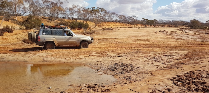
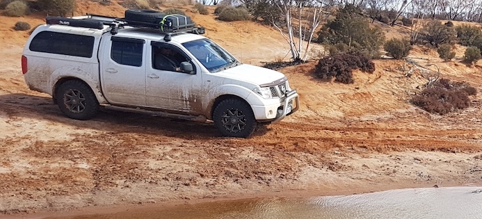
Hunt Pinnacles to Lake Perkolilli

It was time to think about getting to Lake Perkolilli, our planned overnight stop. The sun sets earlier this far east. The track south was torturous. Overgrown, tight and dusty.

The push south was abandoned and we headed east towards the Yindi Road, taking a fire access track to the Kurnalpi-Yindi Road. We then made good time to Perkolilli, scene of the  Red Dust Revival.

Though we set up camp well away from the race track and main camping area, the dust was still stifling. It was thick and unhealthy. A breeze came in around 7.00 p.m. and made conditions more liveable.

Lake Perkolilli to Burra Rock

We left Perkolilli (Andrew and Adi stayed to watch more of the racing and would rv with us at Victoria Rock), refuelled at Kalgoorlie, drove past Casa Quesa on Hay Street and headed to Coolgardie. The main street (Great Eastern Highway) was closed for the length of the town for the Coolgardie Festival.

We took Hunt Street south out of town, heading to Burra Rock.

Burra Rock to Victoria Rock via Cave Hill

The track from Burra Rock south to Cave Hill is easy enough though 16 kilometres from Cave Hill there are a couple of turns that tighten as you drive through them and one of the bends is reverse camber.

At Cave Hill we visited the summit, the wave, the cave and the dams.

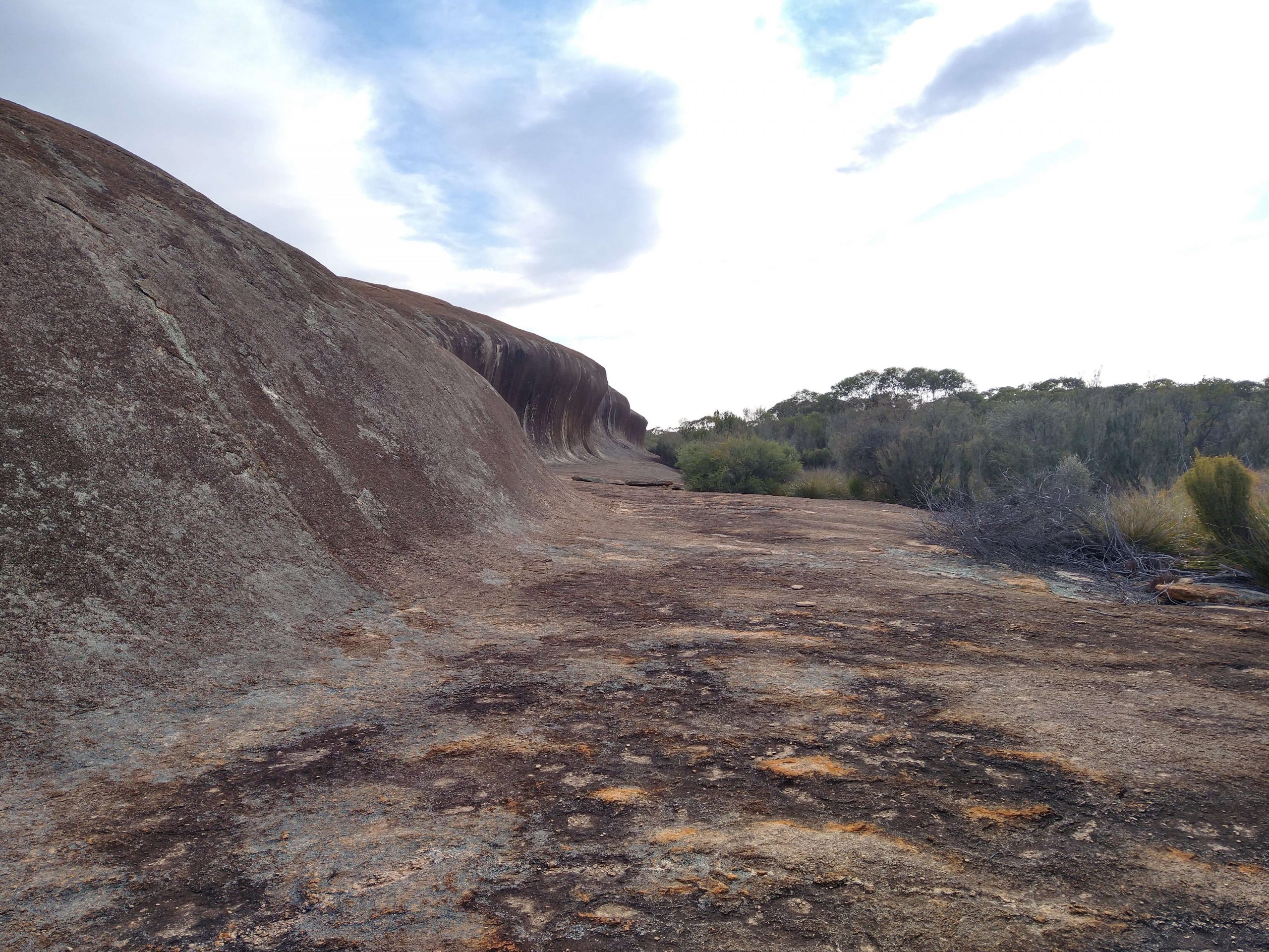
From the summit we walked around to the southern side of the hill to the ‘wave’. The long wave has two eroded holes in its face, known as tafoni.

From the cave we walked over to the dams.

There was plenty of evidence of feral donkeys in the vicinity of the dams.

The track from Cave Hill to the Victoria Rock Road had recently been wet and, while not a serious challenge, it was interesting and required one’s undivided attention.

Victoria Rock to Woolgangie

The drive back to the Great Eastern Highway was planned to follow a track that no-one in the group had been on before. It showed as an indistinct line on satellite view and we were not sure that it would communicate with Yerdanie. As it turned out it had clearly not been driven for many years but it was passable and a great drive requiring plenty of concentration. One of the reasons we do these trips!

Woolgangie to Boorabbin

Hunt considered Woolgangie one his best water supplies.

The ‘hermit’s hut’ near Boorabbin is always worth a a visit.

Boorabbin was the end of our trip and participants made their own way home from this point.


© Kim Epton 2019-2021
Text and layout – Kim Epton
2150 words
Photographs – Michael Orr, Greg Barndon, Kim Epton
71 photographs

Feel free to use any part of this document but please do the right thing and give attribution.
See Terms of Use